
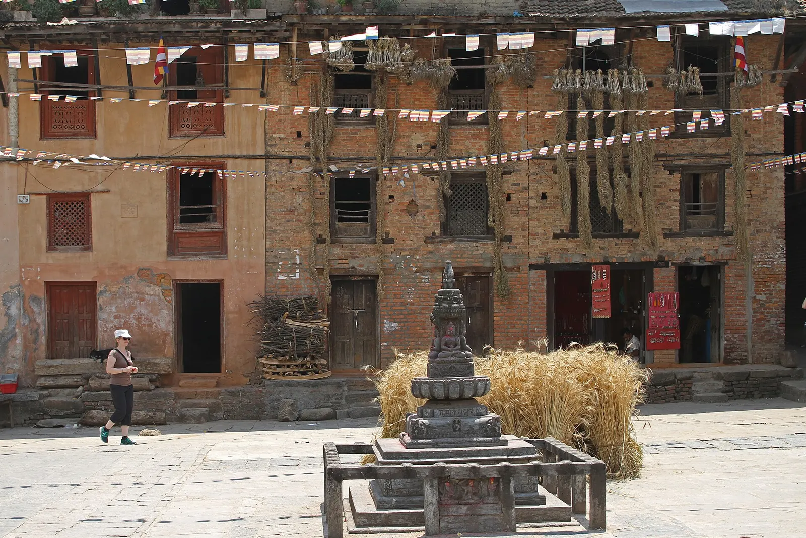
Town or village · 1,360 m
Bungamati
A Newar village on a spur above the Bagmati, home of the rain god Rato Machhindranath and known for its woodcarvers.
Bagmati Provinceललितपुर
The city of Patan and its Durbar Square, with Newar craft villages and the forested heights of Phulchowki to the south.
Lalitpur covers the southern part of the Kathmandu Valley and extends well beyond it into the Mahabharat hills. The Bagmati river separates Patan from Kathmandu to the north, and Bhaktapur lies to the north-east. South of the valley the land rises to forested ridges, with Phulchowki the highest point on the valley rim, before dropping towards Makwanpur. Kavrepalanchok lies to the east.
The district is centred on Patan, an old Newar city long famed for metalwork, woodcarving and religious art. Newar villages such as Bungamati and Khokana keep traditional ways of life on the valley's southern edge, while the hill areas further south are more rural. Travellers come for Patan Durbar Square and its museum, craft workshops, the gardens at Godawari, and hiking and birdwatching on Phulchowki.
Town or village · 1,360 m
A Newar village on a spur above the Bagmati, home of the rain god Rato Machhindranath and known for its woodcarvers.
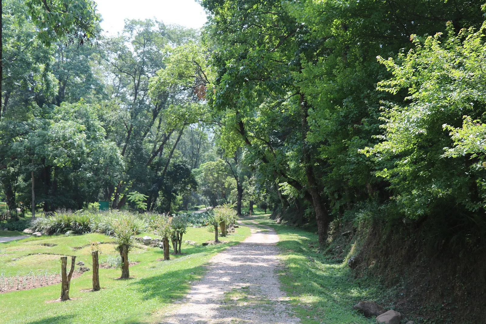
Town or village · 1,520 m
A green corner at the foot of Phulchowki, south-east of Patan, with Nepal's national botanical garden, sacred springs and forest walks.
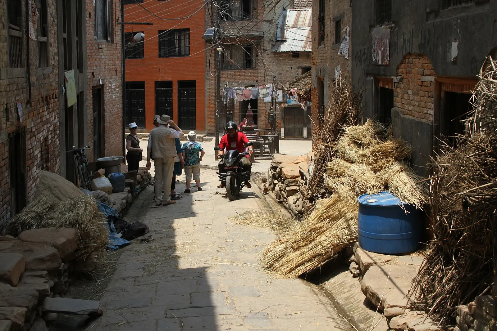
Town or village · 1,340 m
A traditional Newar farming village south of Patan, known for mustard-oil pressing and the Rudrayani temple.
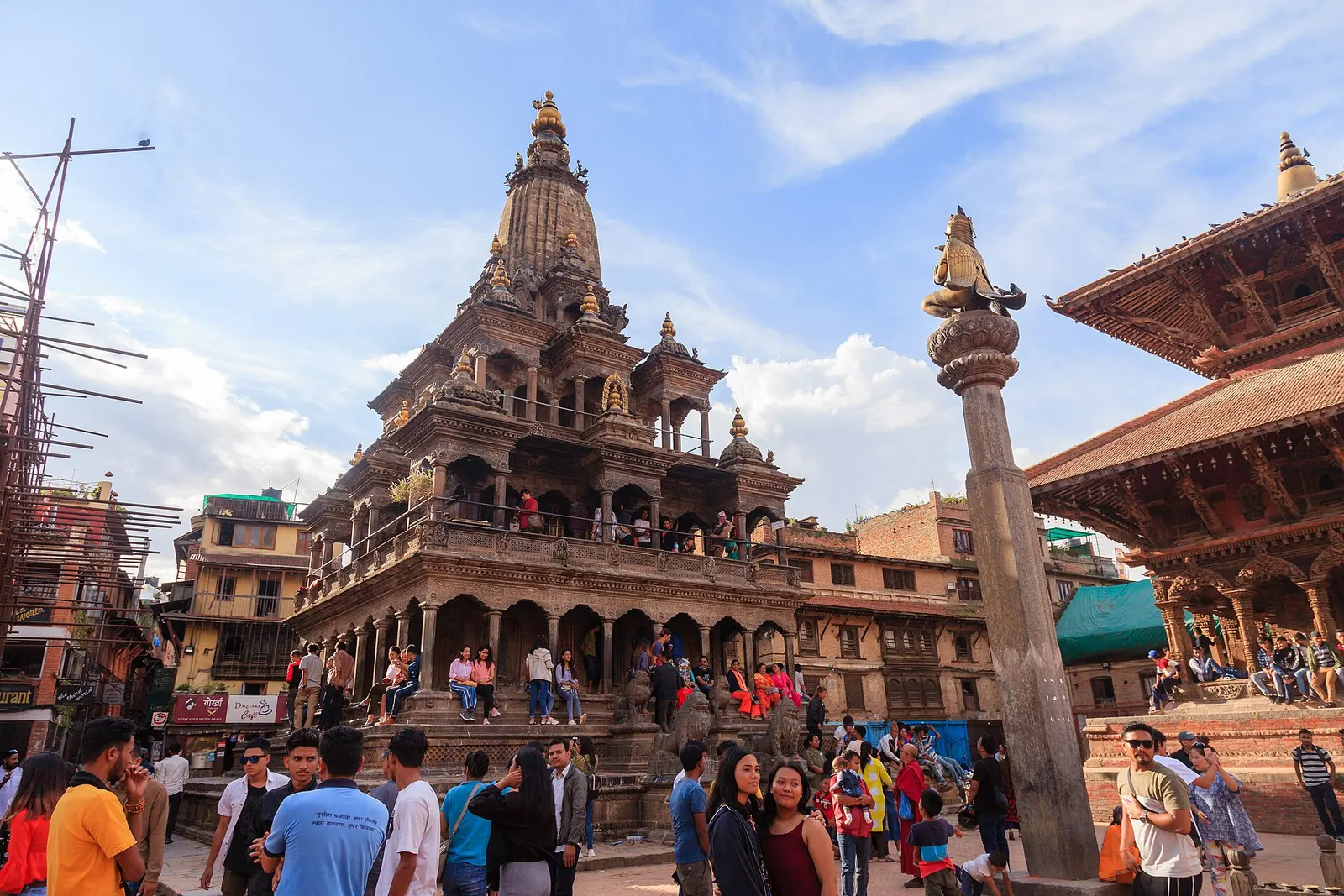
Town or village · 1,350 m
The old Newar city of Lalitpur across the Bagmati from Kathmandu, known for its Durbar Square, Buddhist courtyards and metalwork.
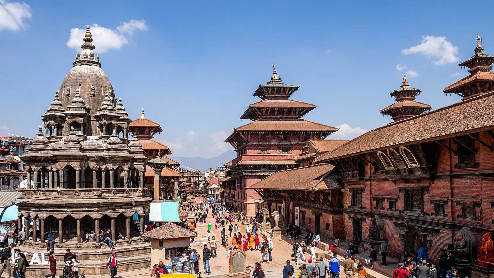
Temple, monastery or heritage site · 1,330 m
The former royal square of Patan, a row of Malla-era temples facing a palace that now houses one of Nepal's finest museums.
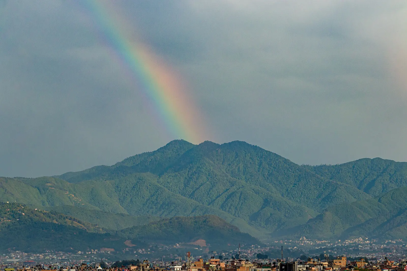
Viewpoint · 2,782 m
The highest point on the Kathmandu Valley rim, a forested hill above Godawari known for birds, rhododendrons and mountain views.
Patan is effectively joined to Kathmandu, a short taxi or bus ride across the Bagmati bridges, and Tribhuvan International Airport is close by. Roads continue south to Bungamati, Khokana and Godawari in under an hour. The southern hill areas are reached on slower rural roads.
October to April is the most comfortable and clearest period; the monsoon months are warm and wet, and winter nights are cold, particularly up on Phulchowki.