
Town or village
Bharatpur
Chitwan's main city and transport hub on the Narayani river, the usual gateway for Chitwan National Park and the central Terai.
Bagmati Provinceचितवन
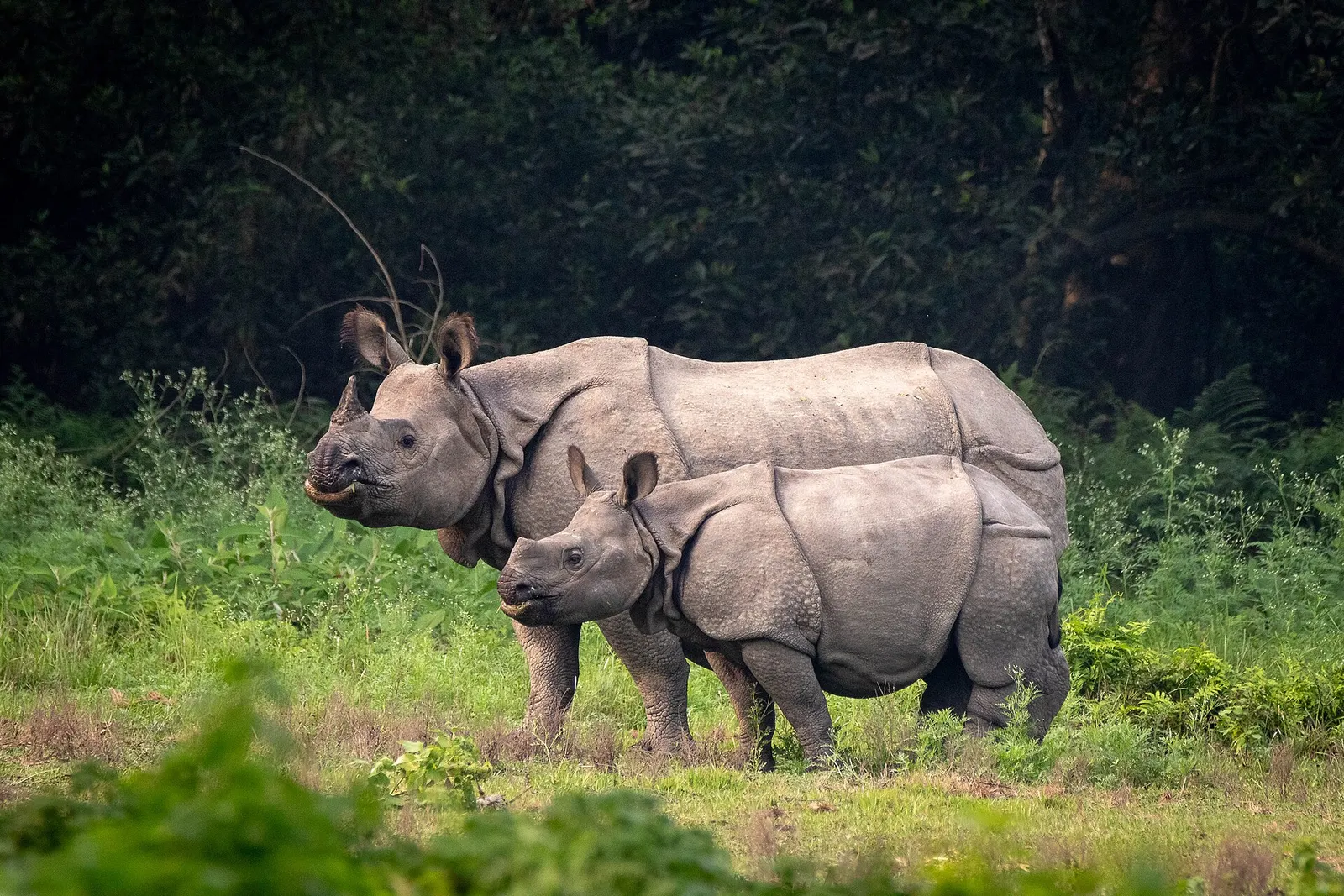
Lowland Nepal's best-known wildlife district, with one-horned rhinos, jungle walks and river life in Chitwan National Park.
Chitwan lies in the Inner Terai of south-central Nepal, a broad lowland valley between the Mahabharat range to the north and the Siwalik (Churia) hills along the Indian border to the south. The Narayani and Rapti rivers drain the district, and the Narayani forms much of its western edge. Makwanpur lies to the east, Nawalparasi to the west, and the hill districts of Tanahun, Gorkha and Dhading to the north.
Once heavily forested, the valley was settled widely from the 1950s, and Tharu communities, the area's longer-established people, now live alongside settlers from the hills. Bharatpur, the headquarters, is a busy commercial and medical centre, and farming and poultry are important. Most travellers come for Chitwan National Park, a UNESCO World Heritage Site, staying at Sauraha or other villages on the park edge for wildlife safaris, canoe trips and Tharu culture.
Town or village
Chitwan's main city and transport hub on the Narayani river, the usual gateway for Chitwan National Park and the central Terai.
Lake
A chain of forest-fringed oxbow lakes and marshes in the Chitwan National Park buffer zone, known for birdwatching and wildlife.
National park or conservation area
Nepal's first national park, in the inner Terai lowlands: sal forest, tall grassland and rivers home to one-horned rhinoceros, tigers and gharials.
Bharatpur has a domestic airport with short flights from Kathmandu. By road, the usual route follows the Prithvi Highway west from Kathmandu to Mugling, then turns south along the Trishuli and Narayani to Narayangadh, a journey of several hours. The East-West Highway also passes through the district, linking it with the rest of the Terai.
October to March is the most comfortable time, with cool mornings and good wildlife viewing; spring grows very hot, and the monsoon from June to September brings heavy rain, high rivers and limited park access.