
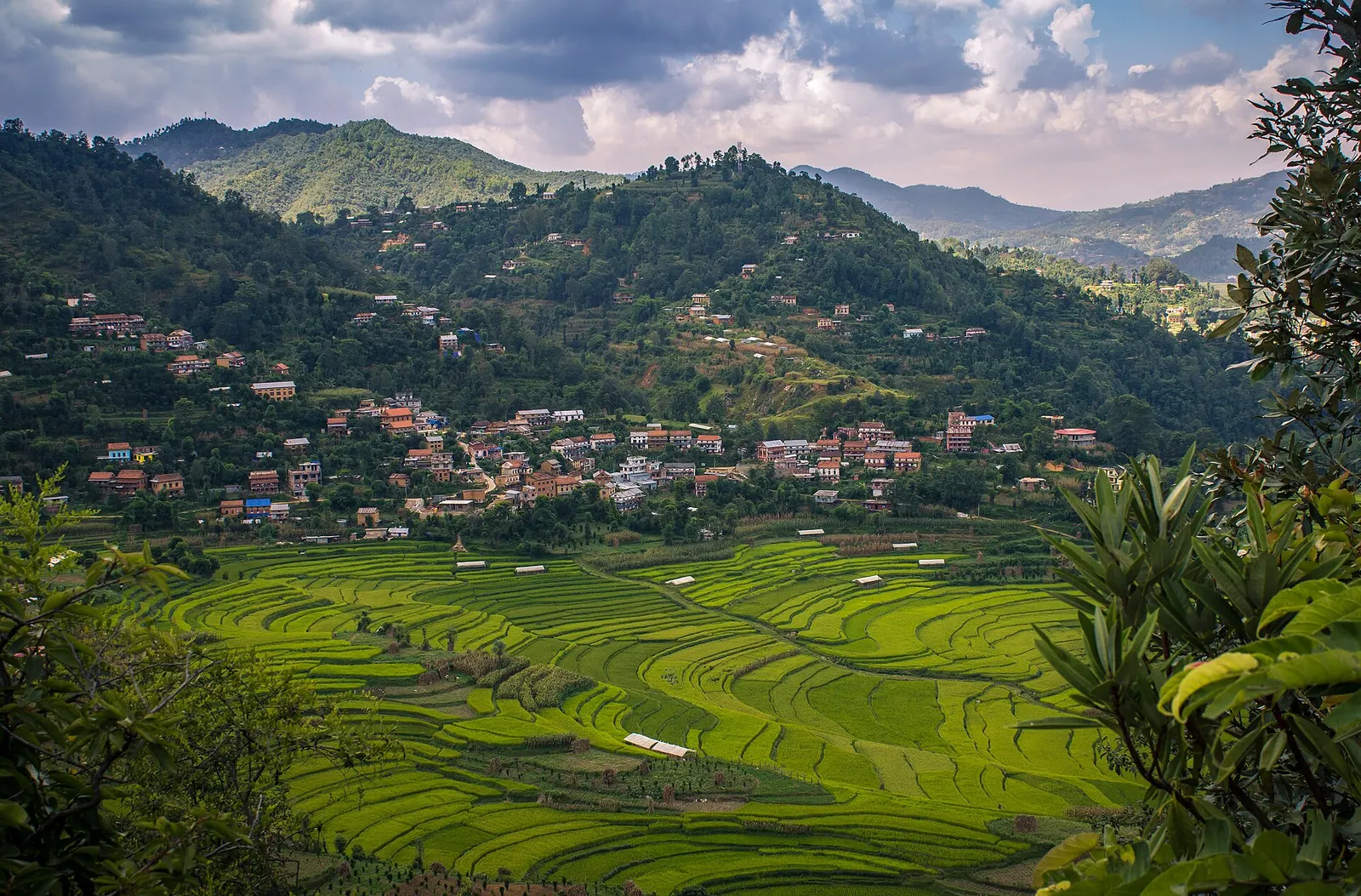
Town or village · 1,730 m
Balthali
A farming village on a ridge above Panauti and Khopasi, reached on foot or by rough road, with terraced fields and homestays.
Bagmati Provinceकाभ्रेपलान्चोक
Hill country just east of the Kathmandu Valley, with the old Newar towns of Dhulikhel and Panauti and the Buddhist pilgrimage site of Namo Buddha.
Kavrepalanchok lies immediately east of the Kathmandu Valley, in the middle hills between the valley rim and the Sunkoshi river. Bhaktapur and Lalitpur border it to the west, Sindhupalchok to the north, Dolakha and Ramechhap to the east, and Sindhuli and Makwanpur to the south. Terraced ridges and river valleys make up most of the district, with the Sunkoshi and its tributaries draining the land.
Newar towns such as Banepa, Panauti and Dhulikhel sit alongside Tamang, Brahmin and Chhetri villages, and the district supplies vegetables and potatoes to the capital. Dhulikhel, the headquarters, is known for its mountain views and as a starting point for short walks. Travellers come for Panauti's temples, the monastery at Namo Buddha, village stays at Balthali, and easy hiking close to Kathmandu.
Town or village · 1,730 m
A farming village on a ridge above Panauti and Khopasi, reached on foot or by rough road, with terraced fields and homestays.
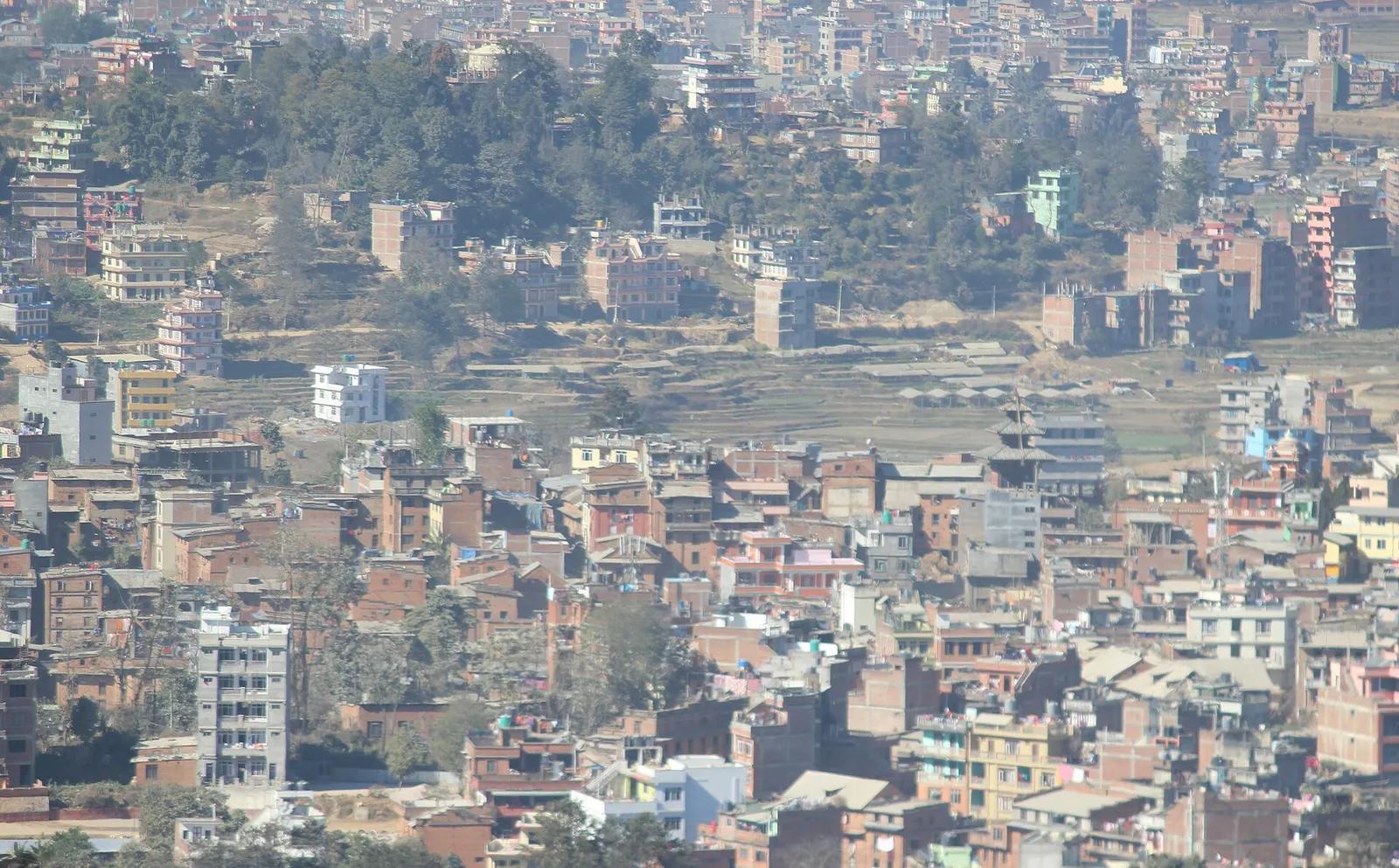
Town or village · 1,550 m
A Newar hill town on the eastern rim of the Kathmandu Valley, with a wide Himalayan skyline and walking trails to Namo Buddha and Panauti.
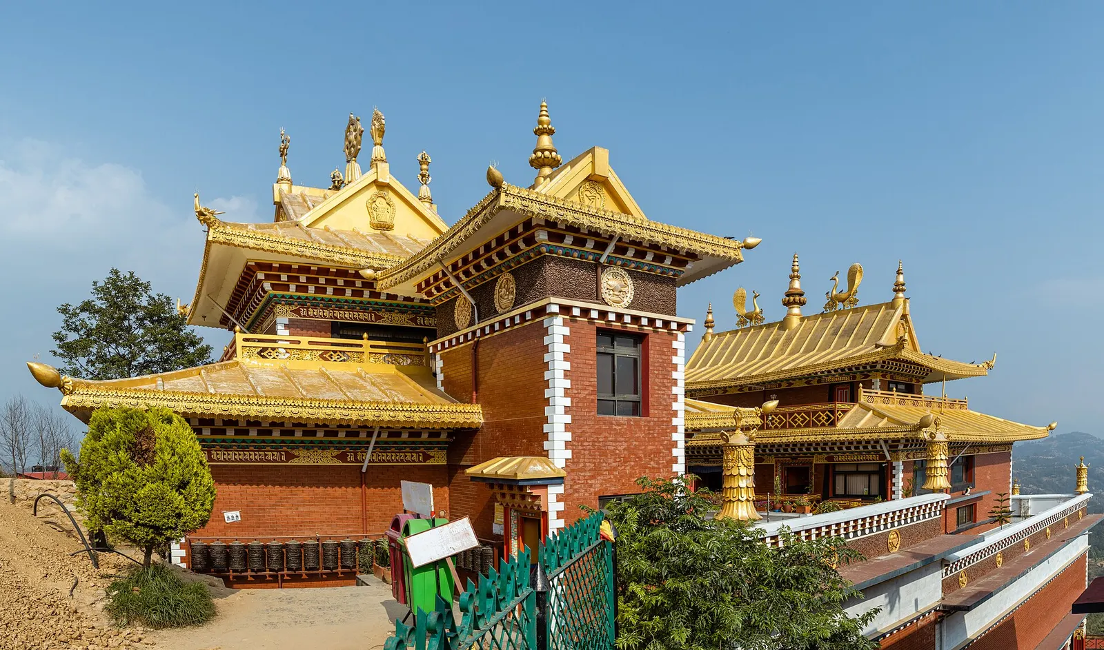
Temple, monastery or heritage site · 1,750 m
A hilltop stupa and Tibetan Buddhist monastery south-east of Dhulikhel, tied to the story of a prince who gave his body to a starving tigress.
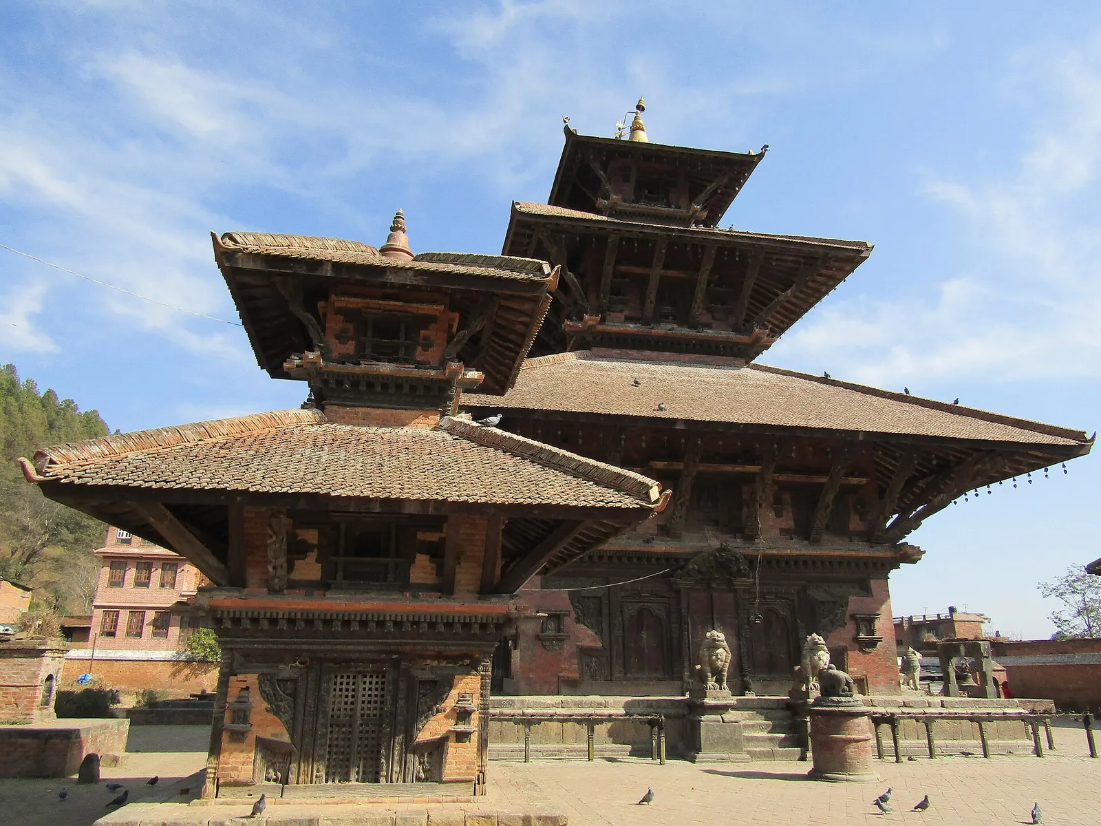
Town or village · 1,442 m
A small medieval Newar town at a river confluence south-east of the Kathmandu Valley, with old temples, quiet lanes and community homestays.
The Araniko Highway runs east from Kathmandu through Banepa to Dhulikhel, usually one to two hours by bus or car depending on traffic. Panauti is a short side trip from Banepa, and the B.P. Highway continues south through the district towards Sindhuli and the Terai. Tribhuvan International Airport is the nearest airport.
October to April is best for clear mountain views and walking; the monsoon from June to September is green but wet, with cloud often hiding the peaks.
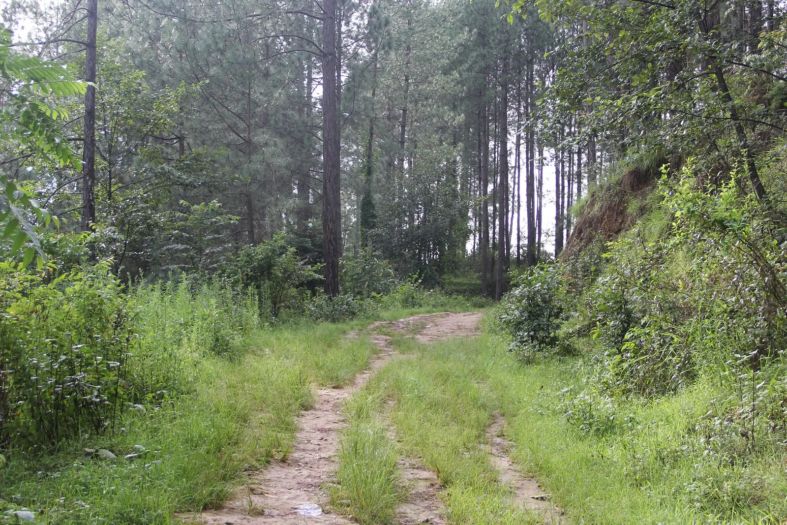
A short, low walk south-east of Kathmandu from Dhulikhel to the Buddhist pilgrimage site of Namo Buddha, on to the farming village of Balthali, and down to the old Newar town of Panauti. No permit needed.