
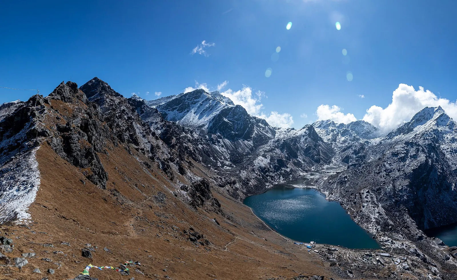
Lake · 4,380 m
Gosaikunda
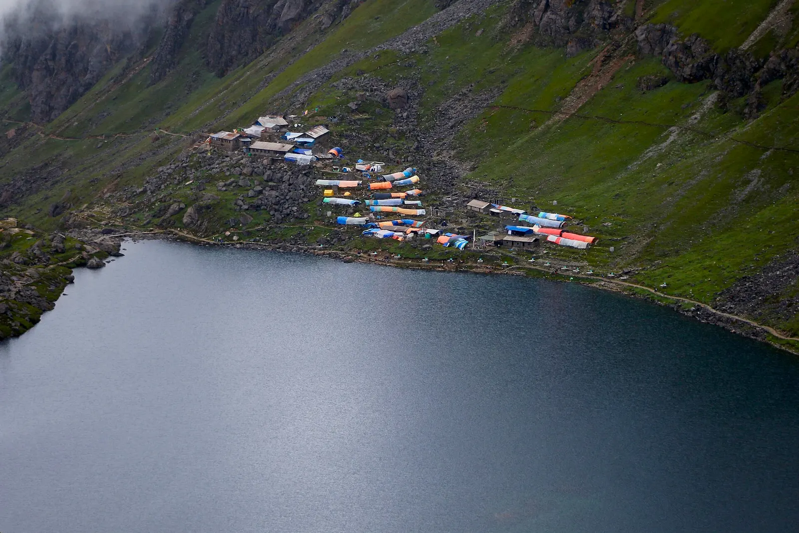
A sacred alpine lake at about 4,380 m in Langtang National Park, a Hindu and Buddhist pilgrimage site and a high point between Langtang and Helambu.
Bagmati Provinceरसुवा
Gateway to the Langtang Valley and the sacred Gosaikunda lakes, with Tamang villages along the road to the Tibetan border.
Rasuwa lies directly north of Kathmandu and borders Tibet to the north. Much of the district falls within Langtang National Park, rising from the deep Trishuli and Bhote Koshi valleys to the Langtang Himal. Nuwakot lies to the south, Dhading to the west and Sindhupalchok to the east. Dhunche, the headquarters, and Syabrubesi sit on the road that runs north towards the Rasuwagadhi border crossing.
Tamang communities, with strong Tibetan Buddhist traditions, form most of the population, and farming, herding and trekking support local livelihoods. The 2015 earthquake caused severe damage here, burying the original Langtang village. Travellers come for the Langtang Valley trek via Lama Hotel to Kyanjin Gompa, the pilgrimage to Gosaikunda through Sing Gompa (Chandanbari), and the Tamang Heritage Trail around Thulo Syabru and nearby villages.
Lake · 4,380 m
A sacred alpine lake at about 4,380 m in Langtang National Park, a Hindu and Buddhist pilgrimage site and a high point between Langtang and Helambu.
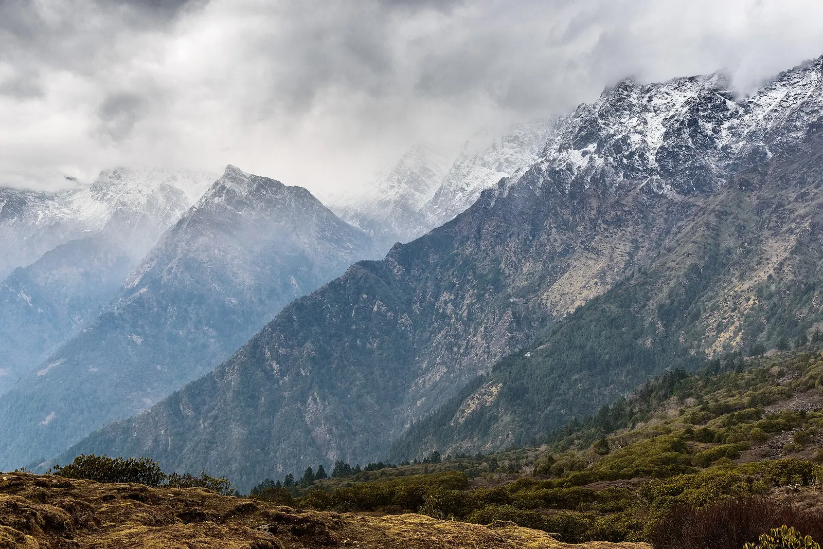
Valley or region
The trekking region closest to Kathmandu: glacier valleys, holy lakes and Hyolmo villages across Rasuwa, Nuwakot and Sindhupalchok.
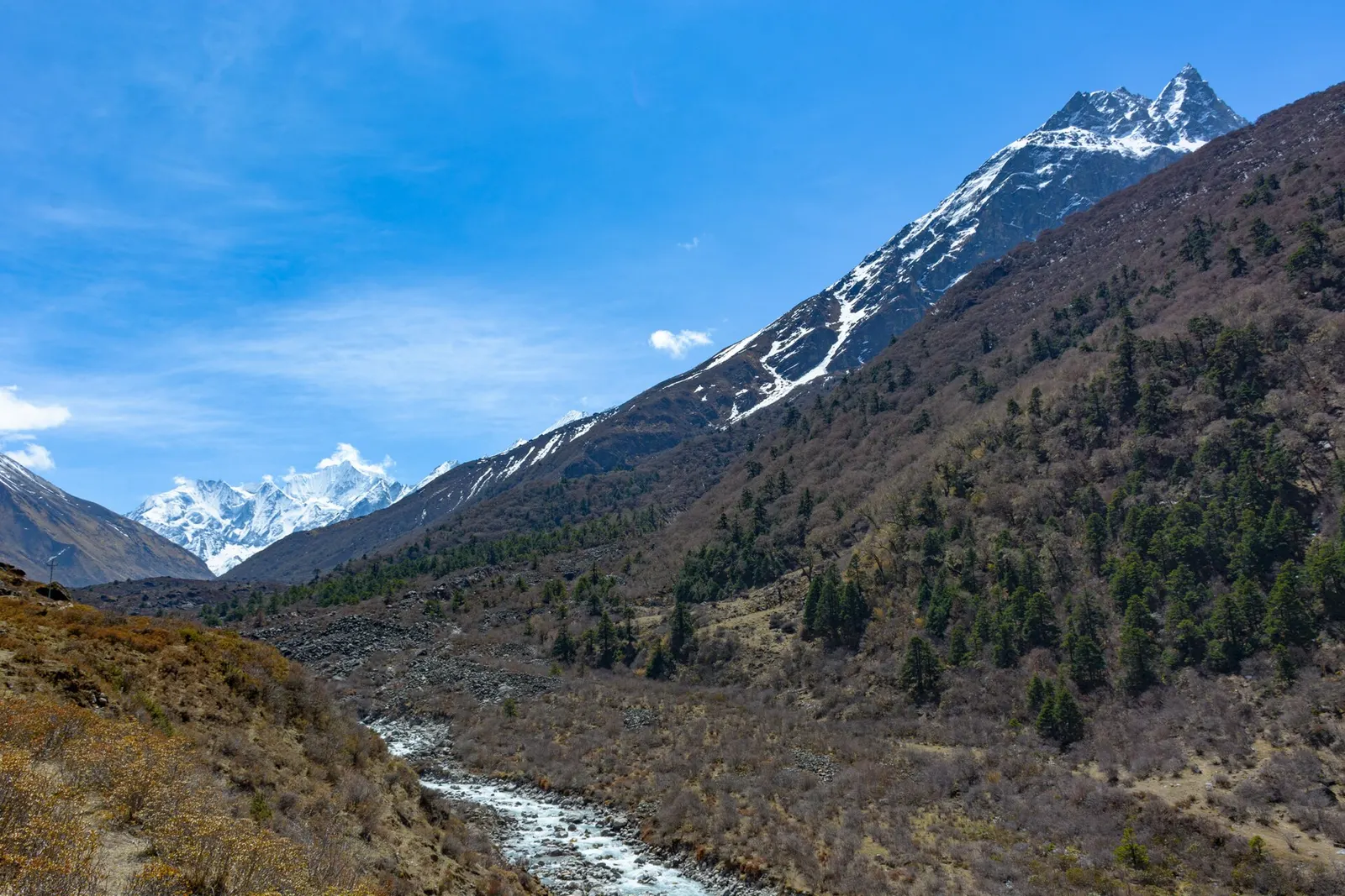
Valley or region
A glacier valley north of Kathmandu, walked from Syabrubesi through forest and yak pastures to Kyanjin Gompa under Langtang Lirung.
Buses and jeeps run from Kathmandu to Dhunche and Syabrubesi along the Pasang Lhamu Highway via Bidur, usually a long day's drive on roads that can be rough. Syabrubesi is the main trailhead for Langtang, and Dhunche for Gosaikunda. Kathmandu has the nearest airport.
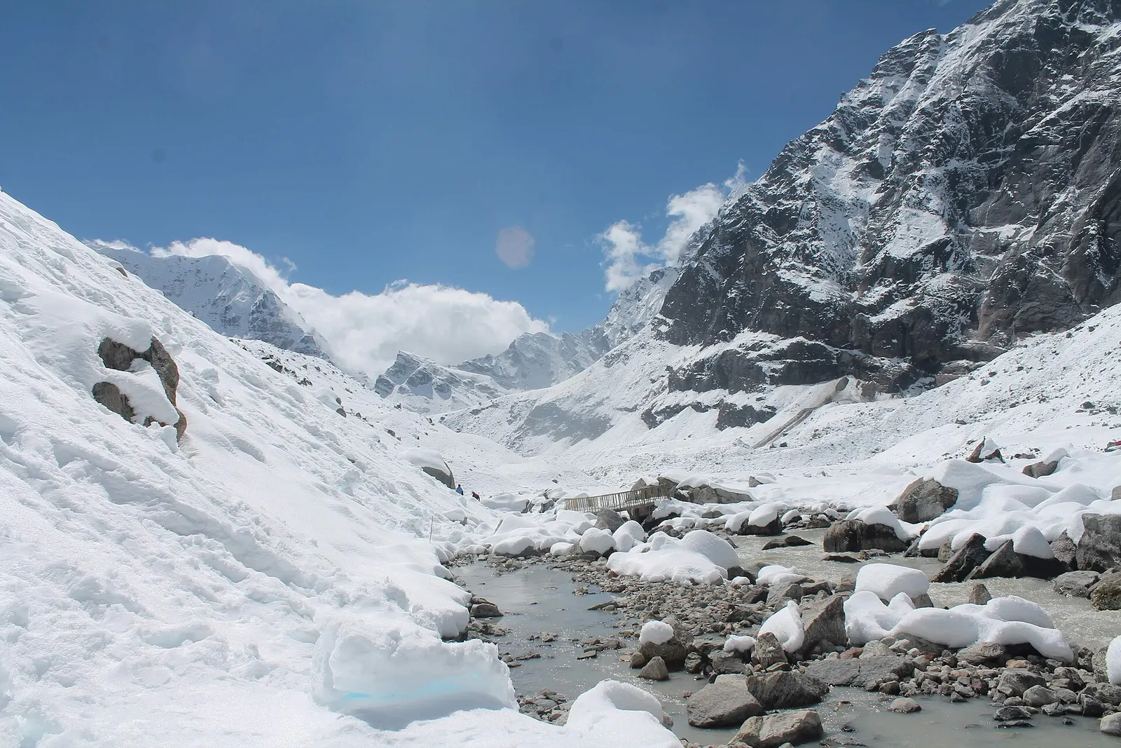
October to November and March to May are best for trekking, with spring rhododendrons and autumn clarity; winter brings deep cold and snow at Gosaikunda and in upper Langtang, and the monsoon causes landslides on the road.
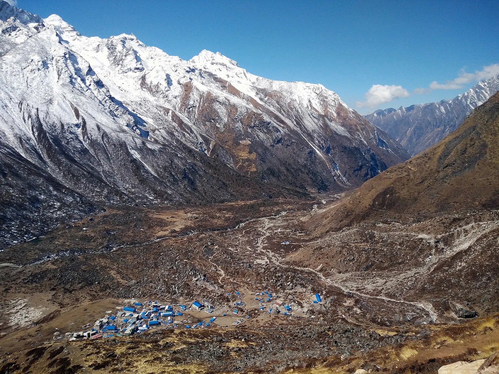
A road-accessed teahouse trek from Syabrubesi up the Langtang Khola to Kyanjin Gompa (about 3,870 m), with an optional climb to Tserko Ri for close views of Langtang Lirung. Check road access after the August 2026 floods.
A network of high and mid-hill routes about 1,700 km long that crosses Nepal from Kanchenjunga in the east to Humla and the far west, usually walked in sections, or as a through-trek of about four to five months.
The Langtang Valley to Kyanjin Gompa combined with the climb to the sacred Gosaikunda lakes (about 4,380 m) via Thulo Syabru and Sing Gompa, finishing at Dhunche. Check road access after the August 2026 floods.