

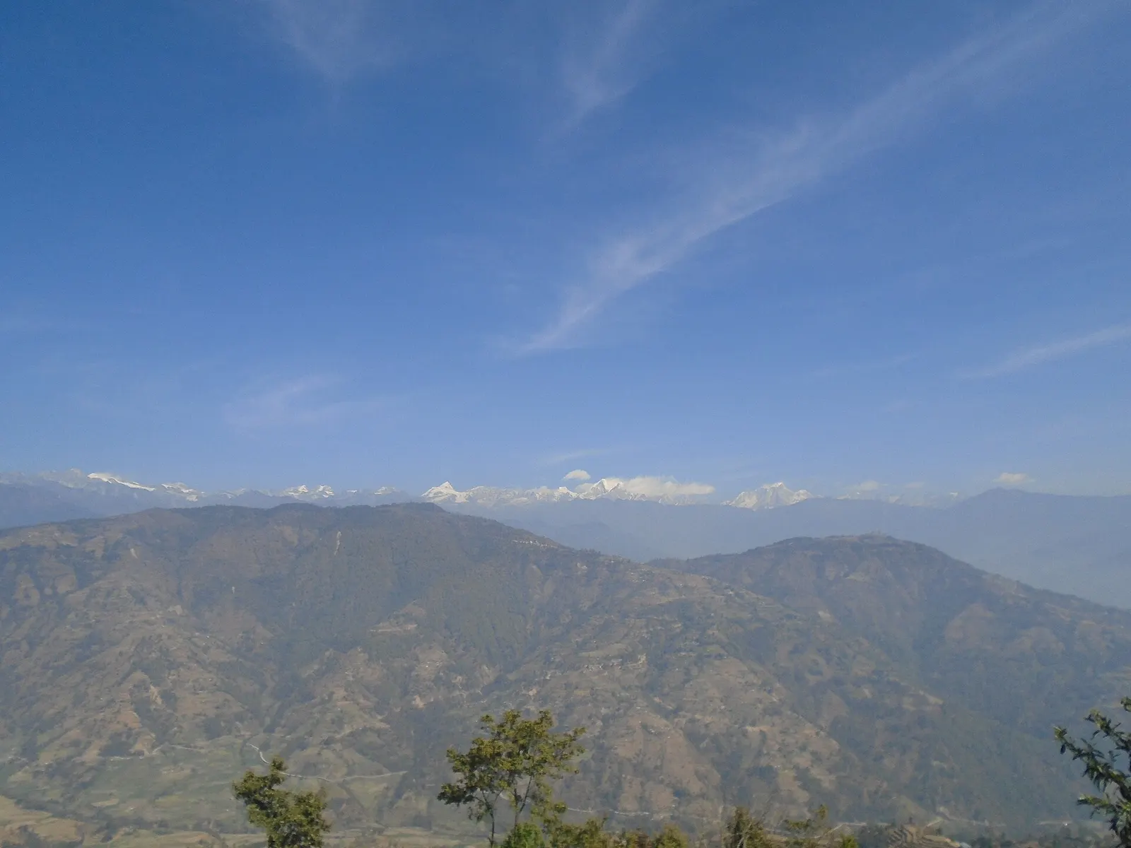
Valley or region
Helambu
Hyolmo villages, monasteries and apple orchards in the hills north-east of Kathmandu, on a trek that can start from the city's edge.
Kathmandu Valleyलाङटाङ
The closest major Himalayan valley to Kathmandu, with Tamang villages and glaciers.
This page covers the Langtang and Helambu trekking region around Langtang National Park; the Langtang Valley itself has its own page.
Higher seasonal exposure: landslides (Jun-Sep), road blockages (Jun-Sep), landslides (Jun-Sep), altitude (All year), cold (Dec-Feb).
The Langtang region spreads north of the Kathmandu Valley up to the Tibet border, across Rasuwa, Nuwakot and Sindhupalchok districts. At its core is Langtang National Park, established in 1976 as Nepal's first Himalayan national park, covering about 1,710 km2 from subtropical forest to Langtang Lirung (7,245 m). Because the trailheads are only a day's drive or less from Kathmandu, it suits trekkers with one to two weeks.
This page is the hub for several places covered separately. The Langtang Valley is the classic glacier valley trek from Syabrubesi, ending at Kyanjin Gompa, the high village with its monastery, cheese factory and day hikes to viewpoints. Gosaikunda is the sacred lake at about 4,380 m, a Hindu and Buddhist pilgrimage site on the route between Langtang and Helambu. Helambu is the region of Hyolmo villages and monasteries on the southern side, walkable from Kathmandu's edge at Sundarijal. Melamchi is the market town and road gateway to Helambu, and Panch Pokhari is a group of five holy lakes in Sindhupalchok, a quieter pilgrimage trek.
The main routes can be joined: Langtang Valley, then over to Gosaikunda via Thulo Syabru, across the Lauribina La into Helambu, and out to Sundarijal or Melamchi. Shorter options, such as Helambu alone or Gosaikunda from Dhunche, take four to seven days.
The story
Local tradition says the valley was found by a lama following his runaway yak: 'lang' means yak and 'teng' to follow. At its head stands the monastery of Kyanjin Gompa, and herders still offer juniper smoke to the mountain deities in the mornings.
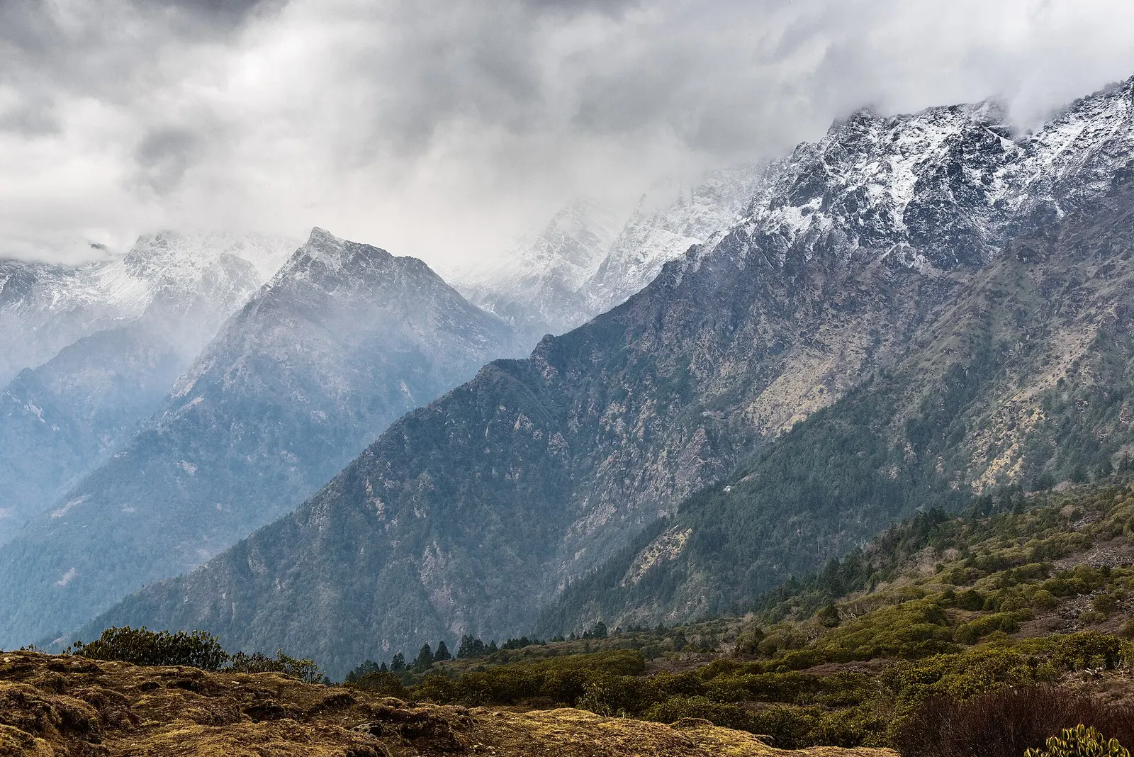
Valley or region
Hyolmo villages, monasteries and apple orchards in the hills north-east of Kathmandu, on a trek that can start from the city's edge.
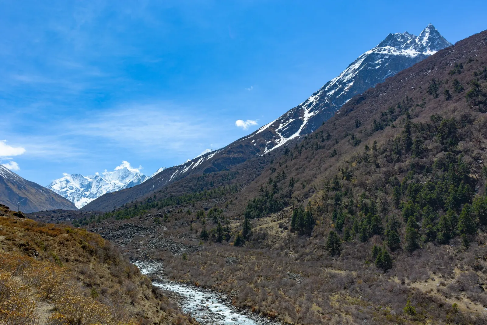
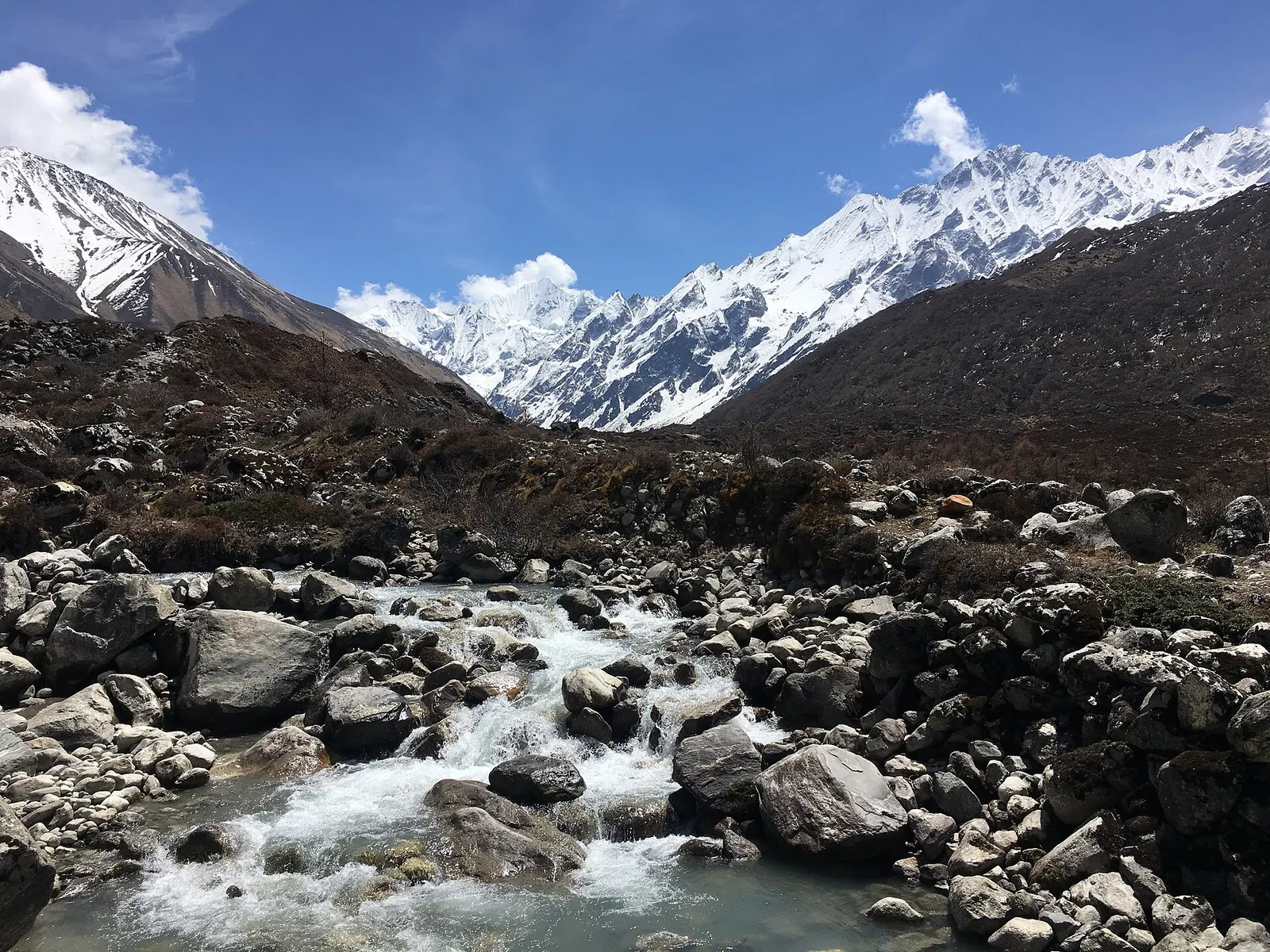
Valley or region
A glacier valley north of Kathmandu, walked from Syabrubesi through forest and yak pastures to Kyanjin Gompa under Langtang Lirung.
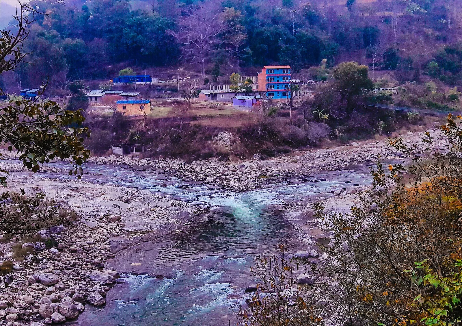
Town or village · 845 m
A river-junction market town in Sindhupalchok and the road gateway to Helambu, rebuilt after the 2021 floods.
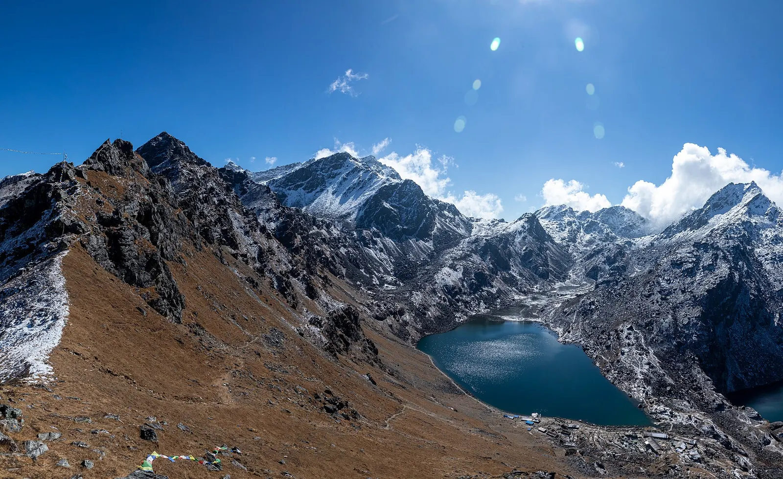
Lake · 4,380 m
A sacred alpine lake at about 4,380 m in Langtang National Park, a Hindu and Buddhist pilgrimage site and a high point between Langtang and Helambu.
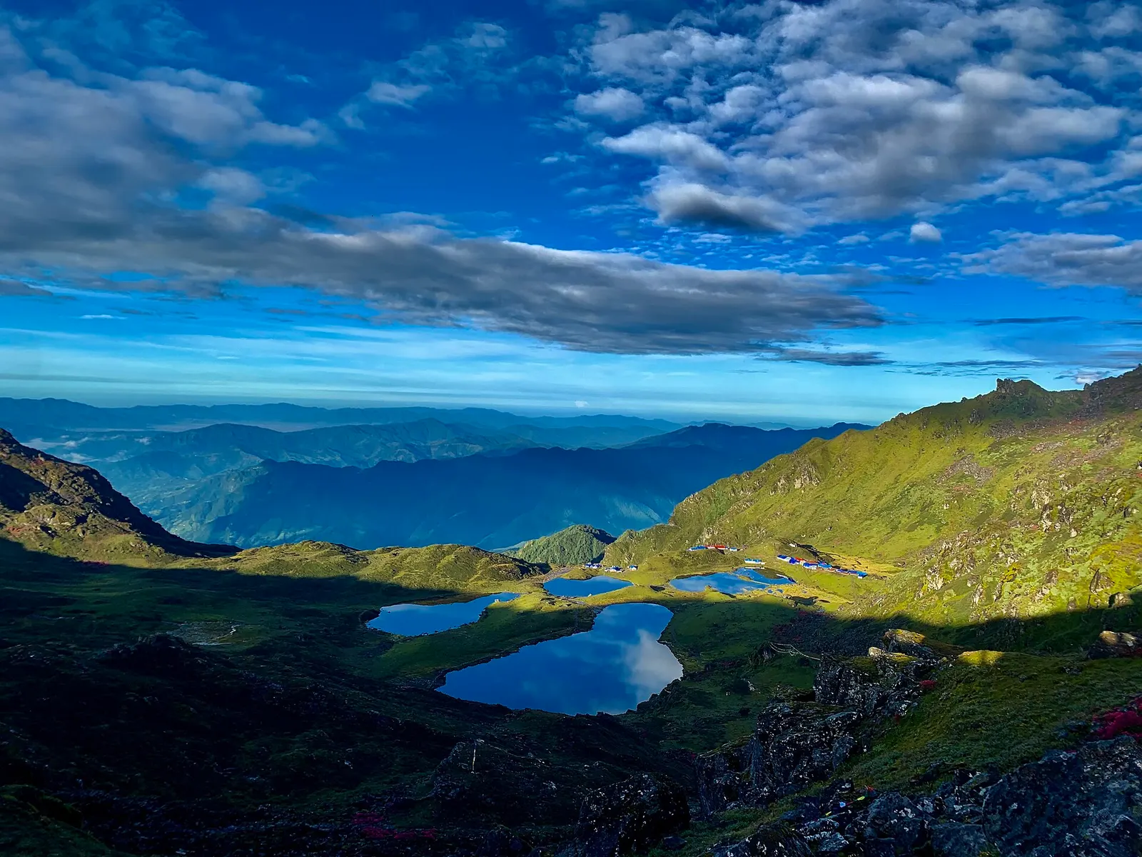
Lake · 4,100 m
Five holy lakes at about 4,100 m below the Jugal Himal in Sindhupalchok, a pilgrimage at Janai Purnima and a quiet trek.
Town or village · 2,030 m
The district headquarters of Rasuwa and the road-side start of the Gosaikunda trail.
Trek stop · 3,330 m
A forest settlement with a small monastery on the climb to the Gosaikunda lakes.
Trek stop · 1,460 m
The road-head village in Rasuwa where the Langtang Valley trek begins.
Trek stop · 2,210 m
A Tamang ridge village that links the Langtang Valley with the Gosaikunda trail.
The people of the region include the Langtangpa of the upper Langtang Valley, who speak a Tibetan language related to that of Kyirong and are counted as Tamang in the census; the Hyolmo people of Helambu; and Tamang communities along the Tamang Heritage Trail west of Syabrubesi. Tibetan Buddhism is central to village life, with gompas, chortens and mani walls along the trails, while Gosaikunda draws large numbers of Hindu pilgrims at Janai Purnima in August. Langtang is also believed in Tibetan tradition to be a beyul, a hidden valley blessed by Guru Padmasambhava.
Disasters have shaped recent history. The April 2015 earthquake triggered an avalanche that destroyed Langtang village and killed more than 300 people, including residents, trekkers and soldiers; villages and lodges have since been rebuilt. On 26 August 2026 a large rock-ice avalanche from the Langtang Lirung massif, on the side away from the Langtang Valley, set off floods down the Bhote Koshi and Trishuli rivers that killed and displaced many people in Rasuwa and Nuwakot and badly damaged roads and bridges around Syabrubesi and Dhunche.
Langtang Valley trekWith a guide
A 7 to 8 day teahouse trek from Syabrubesi to Kyanjin Gompa and back, with a day for a viewpoint climb. Permits and guide are arranged through a licensed local operator.
indicative, from about US$500 with a guide
Tserko Ri or Kyanjin RiWith a guide
A pre-dawn climb from Kyanjin Gompa. Kyanjin Ri (about 4,773 m) is a half day; Tserko Ri (about 4,984 m) is a long full day. Go with your guide.
Gosaikunda pilgrimage trek
Climb from Dhunche to the sacred lake in 2-3 days, or link it with Langtang and Helambu.
Helambu trek
A lower, culture-focused trek of about 5-7 days from Sundarijal through Hyolmo villages, ending near Melamchi.
Panch Pokhari trek
A quieter pilgrimage route to five high lakes in Sindhupalchok, usually camping or simple homestays.
Forecast for 3,870 m. Conditions change fast in the mountains.
Weather data: MET Norway, licensed CC BY 4.0. A forecast, not a guarantee.
Mar-May, Oct-Nov
Teahouses at Lama Hotel, Langtang village and Kyanjin Gompa, with smaller lodges in between. Kyanjin Gompa has the most choice.
Teahouses and lodges on the Langtang Valley, Gosaikunda and Helambu routes; homestays on the Tamang Heritage Trail and in Helambu villages; guesthouses in Syabrubesi, Dhunche and Melamchi.
No partner stays are listed here yet. List a property.
Yak cheese from the Kyanjin dairy, Tamang bread, and dal bhat. Try yak-milk curd when it is available.
Langtang treks start by road from Kathmandu: Syabrubesi or Dhunche on the Rasuwa side, and Sundarijal or Melamchi on the Helambu side. Road access in Rasuwa was badly damaged by the August 2026 floods; check current conditions.
Nearest hub: Kathmandu
Nearest hub: Kathmandu. Times are typical ranges, not schedules, and vary with roadworks, weather and the season.
By busfrom Kathmanduabout 8-11 hLocal buses
Local and air-conditioned buses run from Macha Pokhari bus park via Trishuli and Dhunche. Allow 8 to 11 hours, more in the monsoon.
When to set off: Buses for Rasuwa leave Kathmandu's Macha Pokhari bus park in the morning; start early, because the run takes 8 to 11 hours and longer in rain.
By car or jeepfrom Kathmanduabout 7-8 h
A hired jeep carries up to about seven people and takes roughly 7 to 8 hours via Trishuli and Dhunche.
Road: A steep hill road that varies from reasonable blacktop to rough, broken sections; a jeep or 4WD is the usual choice and the climb is slide-prone in the monsoon.
When to set off: Leave Kathmandu by about 06:00 so the long hill section is driven in daylight.
By motorbikefrom Kathmanduabout 7-9 hExperienced riders only
A long, rough hill ride for experienced riders only; carry spares and avoid it in the monsoon.
Road: Steep hill road described as anything from okay to horrible, with loose and broken sections.
On footfrom Kathmanduabout 4-5 hAbout 4-5 h from Sundarijal to Chisapani, climbing roughly 800 m
The Helambu side of the region starts on foot from Sundarijal, on the north-east rim of the Kathmandu valley, reached by bus from Boudhanath.
When to set off: Helambu walkers leave Kathmandu early and start walking from Sundarijal the same morning.
Permit required
Langtang National Park entry permit is required for the Langtang Valley, Gosaikunda and the northern Helambu trails. Check whether a TIMS card is currently required. Since April 2023 foreign trekkers in national parks and conservation areas are generally required to go with a licensed guide; check the current rule.
Verify before travel: permit rules and fees change. Checked 2026-10-06 against Langtang National Park (Wikivoyage).
What this place is typically exposed to, and when. These are seasonal patterns, not a report on conditions now.
Landslideshigh in a typical yearJun-Sep
The Kathmandu to Trishuli, Dhunche and Syabrubesi road climbs steep hillsides that soak up monsoon rain, and landslide blockages are a normal feature of the season in these hills.
Road blockageshigh in a typical yearJun-Sep
Expect the Rasuwa road to be slower in the monsoon: the bus run that takes 8 to 11 hours in dry weather typically takes longer when it rains, and slides can hold vehicles up.
Landslideshigh in a typical yearJun-Sep
The Langtang gorge is geologically active and the main trail was rerouted after the 2015 earthquake; monsoon rain loosens the slopes, so slide-prone sections are best crossed without lingering.
Altitudehigh in a typical yearAll year
General information, not medical advice: this is high ground where altitude illness is a real risk. Gain height slowly, build in an acclimatisation day, learn the symptoms of headache with nausea, breathlessness or unsteady walking, and go down if they get worse. See a doctor before travelling and carry insurance that covers helicopter evacuation. Routes in the region reach about 3,870 m at Kyanjin Gompa, 4,380 m at Gosaikunda and roughly 4,610 m on the Lauribina La.
Coldhigh in a typical yearDec-Feb
December to February brings hard frost and deep cold at this height, with short days and lightly heated lodges; a four-season sleeping bag and down layers are normal kit.
Floodingmoderate in a typical yearJun-Sep
The Trishuli and Bhote Koshi run high and heavy with debris through the monsoon, and valley-floor road sections beside the rivers are the parts most often damaged.
Avalanche terrainmoderate in a typical yearDec-Apr
The upper Langtang valley is geologically active and avalanche paths reach the valley floor; the 2015 earthquake-triggered avalanche that destroyed Langtang village is the extreme case, while snow-loaded slopes in winter and early spring are the ordinary seasonal concern.
Snowmoderate in a typical yearDec-Apr
The park sees localised snow in January and February, and high ground such as Gosaikunda and the Lauribina La holds it from late autumn into spring.
Othermoderate in a typical yearJun-Sep
From June to August the forest trails are slippery after rain, leeches are common and the mountains are usually hidden by cloud.
Check current conditions before you travel
Roads, trails, passes and flights change with the weather and with roadworks, and nothing on this page describes conditions today. Before you set off, check the Department of Hydrology and Meteorology for weather and flood warnings, the Nepal Disaster Risk Reduction Portal for incidents, and the local authority, police or your licensed operator for road, trail and flight status.
Safety
This place is above 3,000 m. Altitude illness can affect anyone, whatever their fitness. Gain height slowly, know the symptoms, never go higher with symptoms, and descend if they get worse. This is general information, not medical advice: talk to a doctor before you travel and buy insurance that covers helicopter evacuation at the altitudes you plan to reach. The trail crosses landslide-prone slopes; avoid the lower valley in heavy rain and follow local advice.
The Langtang Valley to Kyanjin Gompa combined with the climb to the sacred Gosaikunda lakes (about 4,380 m) via Thulo Syabru and Sing Gompa, finishing at Dhunche. Check road access after the August 2026 floods.
By road to Syabrubesi or Dhunche on the Rasuwa side (normally 7-9 hours), or to Sundarijal or Melamchi for Helambu. Rasuwa roads were damaged in August 2026, so check current access.
Yes, a Langtang National Park entry permit. Check whether a TIMS card is currently required and the current guide rule.
The floods followed the Bhote Koshi and Trishuli rivers; the Langtang Valley trail itself was reported as not flooded, but road access and some bridges were damaged. Check the latest official and operator updates before travel.
October-November and March-May. Winter is cold with snow on high routes, and the monsoon brings landslides and leeches.
Kyanjin Gompa is about 3,870 m, Gosaikunda about 4,380 m and the Lauribina La about 4,610 m, so acclimatisation matters.
It is a moderate trek with daily walks of 4 to 7 hours. The main challenge is altitude: Kyanjin Gompa is at about 3,870 m and the optional viewpoints go higher.
The trail and villages have been rebuilt and the trek is open. As anywhere in the mountains, landslides and rockfall are possible, especially in the monsoon, so check conditions locally.
No. The trailhead at Syabrubesi is reached by road from Kathmandu, which makes Langtang a good choice if you want to avoid mountain flights.
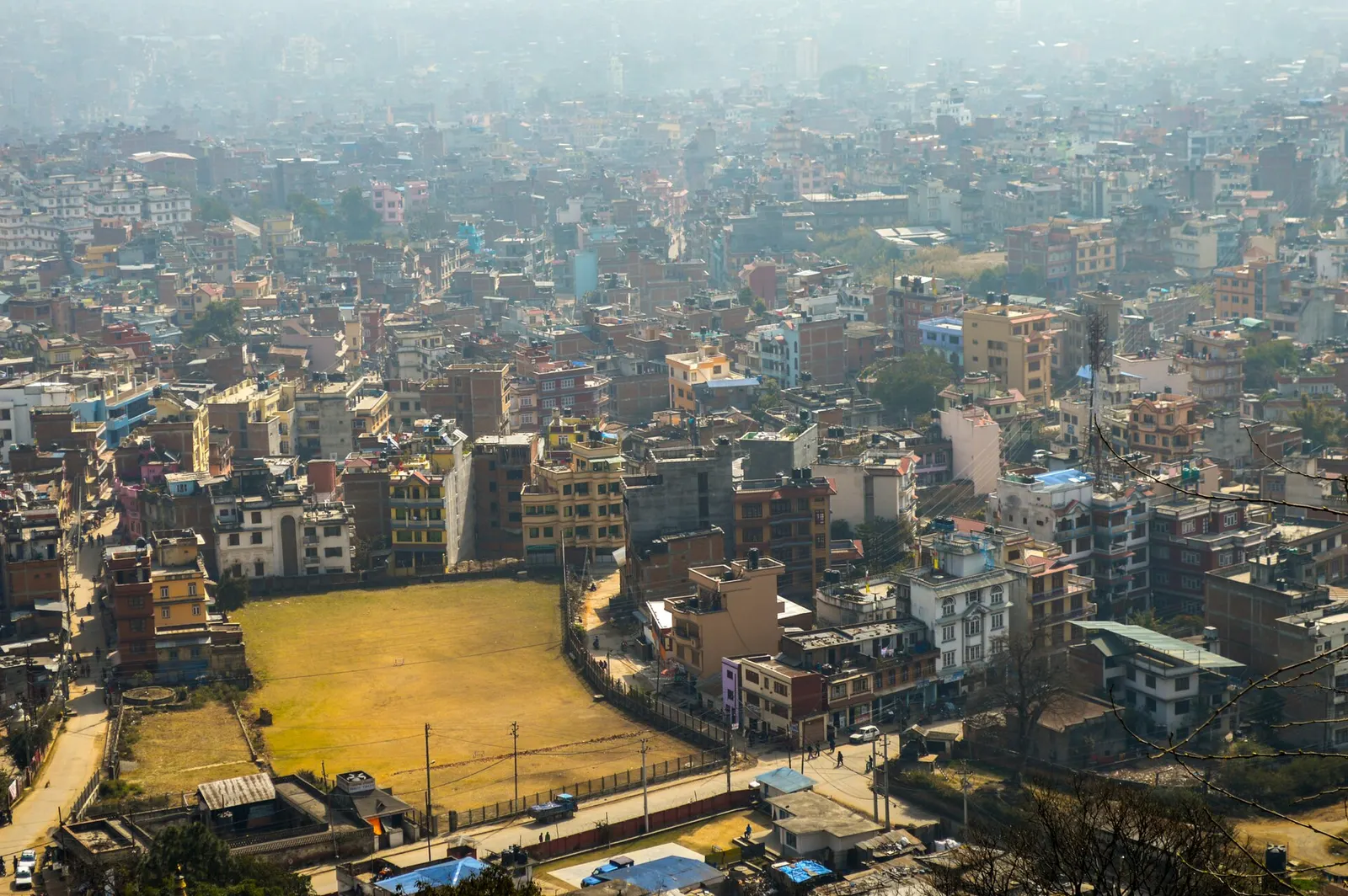
Town or village · 1,400 m
Nepal's capital, a sprawling valley city wrapped around a medieval Newar core, with major Hindu and Buddhist sites and the country's main airport.
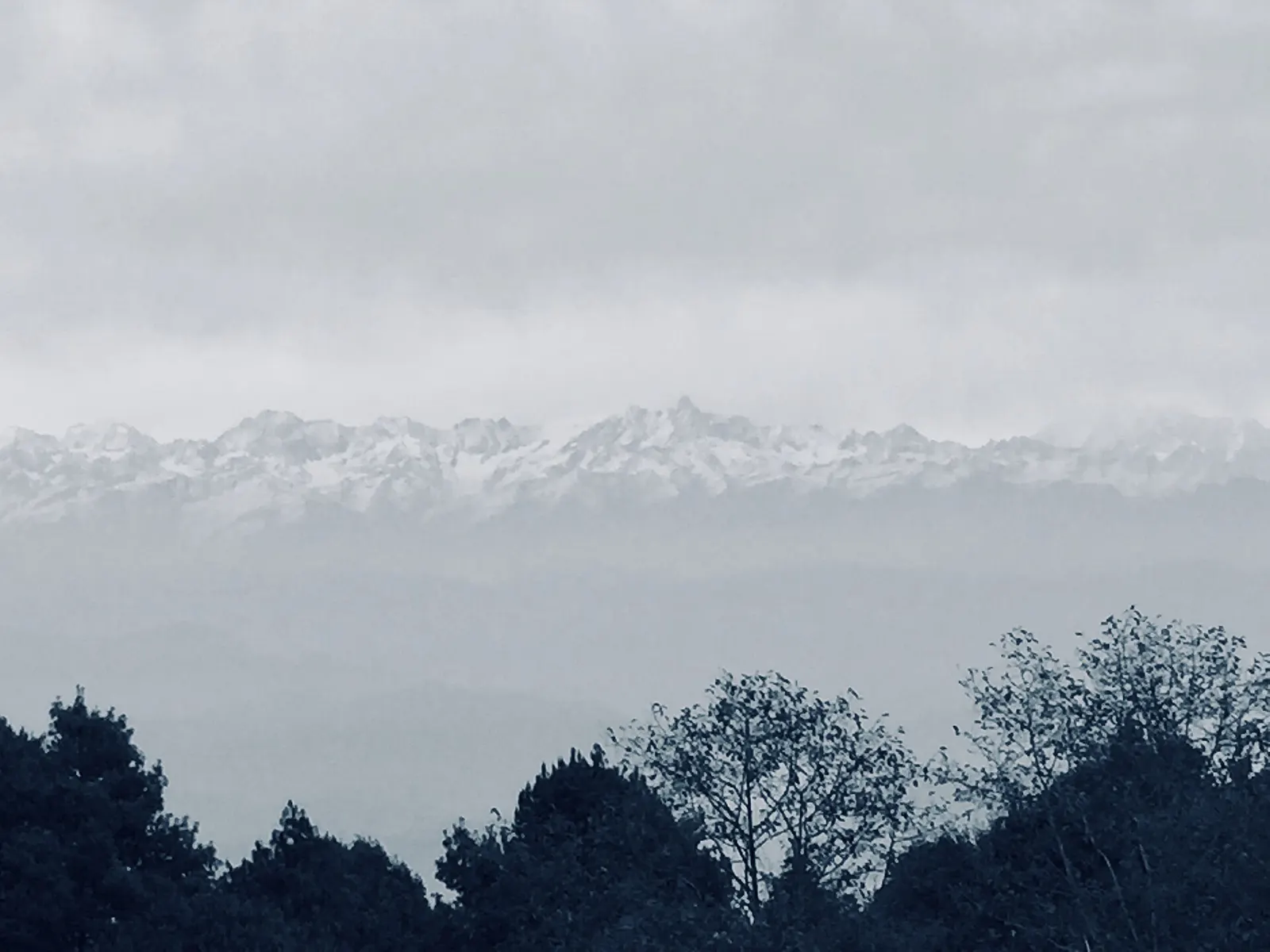
Viewpoint · 2,175 m
A ridge-top village on the eastern rim of the Kathmandu Valley, known for sunrise views across the Himalaya.