
Valley or region
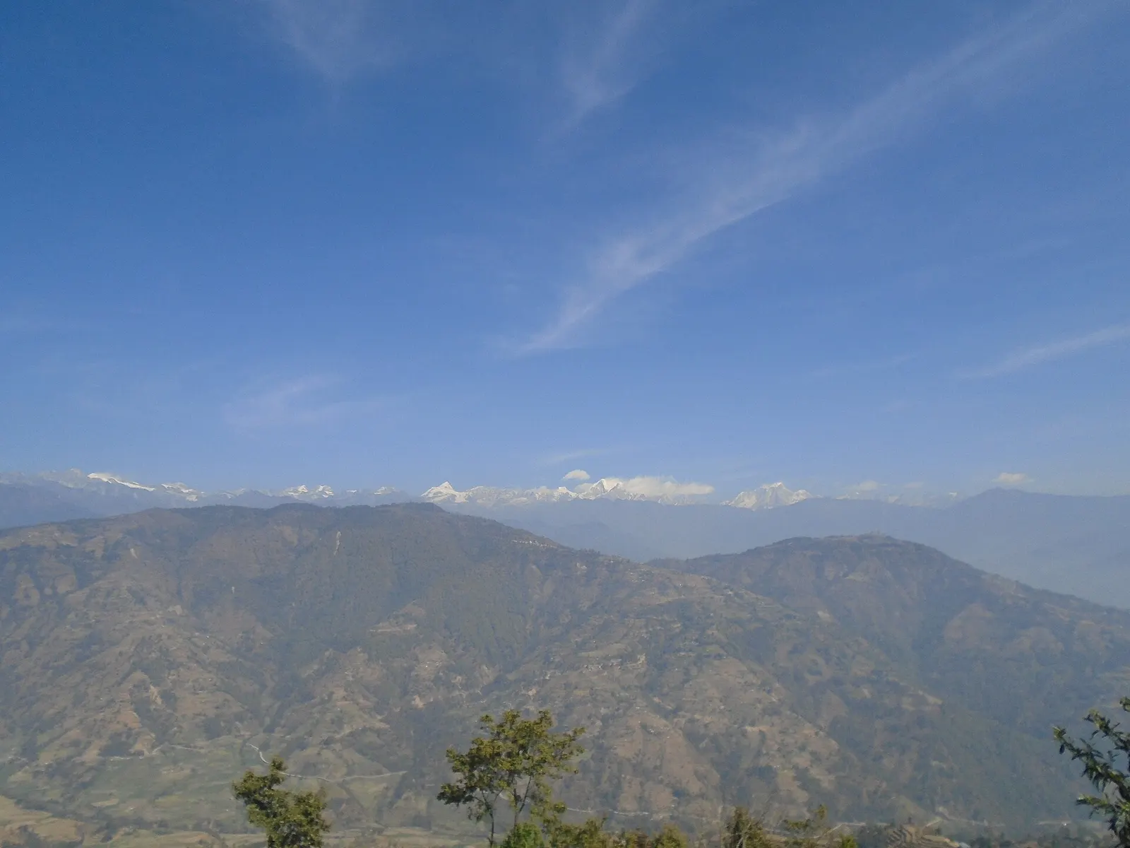
Helambu
Hyolmo villages, monasteries and apple orchards in the hills north-east of Kathmandu, on a trek that can start from the city's edge.
Langtangपाँच पोखरी
Five holy lakes at about 4,100 m below the Jugal Himal in Sindhupalchok, a pilgrimage at Janai Purnima and a quiet trek.
This is Panch Pokhari in northern Sindhupalchok below the Jugal Himal, not the Panch Pokhari lakes at the head of the Khimti Khola in Dolakha and Ramechhap.
Higher seasonal exposure: altitude (All year), snow (Dec-Apr), cold (Nov-Mar), landslides (Jun-Sep), road blockages (Jun-Sep).
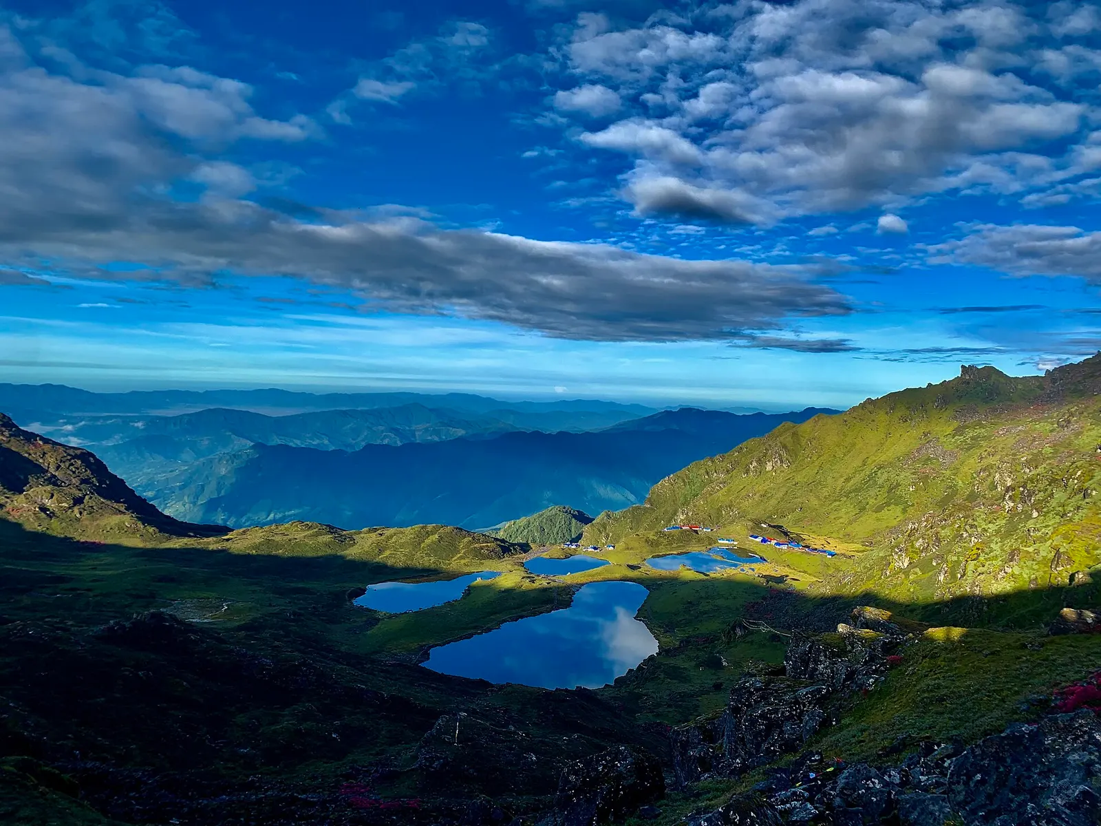
Panch Pokhari is a group of five small lakes at about 4,100 m in northern Sindhupalchok, close under the Jugal Himal, whose peaks include Dorje Lakpa (about 6,966 m), Madiya and Phurbi Chyachu. Although it is only around 60-70 km north-east of Kathmandu as the crow flies, it is one of the less visited high places in the Langtang region, and the trek has a remote, wild feel with long forest ridges and high pastures.
Within the Langtang hub, Panch Pokhari is the quieter alternative to Gosaikunda: another sacred high lake, but approached from the east through Sindhupalchok rather than from Rasuwa. Treks usually start from road heads north of Chautara or in the upper Indrawati valley and take about 3-4 days up, often with camping or very basic shelters on upper stages. The lakes are a high-altitude wetland, though not a Ramsar site.
The lakes are holy to both Hindus and Buddhists. At Janai Purnima, the full moon in July or August, pilgrims from Sindhupalchok and beyond walk up to bathe, make offerings and celebrate, and the trails and camps fill for a few days. The surrounding villages are mainly Tamang and Hyolmo, with Buddhist gompas and chortens along the routes. Nepal Post featured the lakes on a stamp in 2011.
Small shrines and tridents stand on their shores, left by Hindu pilgrims honouring Shiva. Buddhist visitors add prayer flags and circle the lakes clockwise. Outside the festival the area is used mainly by herders, who bring yaks and sheep up to the high pastures in summer and down again before the snows.
Panch Pokhari trek
A trek of about 7-10 days return from Kathmandu, with 3-4 days of walking up from the road head.
Pilgrimage at Janai Purnima
Join the crowds of pilgrims at the full moon in July or August; expect wet trails and packed shelters.
Viewpoint above the lakes
Climb the ridge above the lakes in the early morning for the full group of lakes and the Jugal peaks.
Forecast for 4,100 m. Conditions change fast in the mountains.
Weather data: MET Norway, licensed CC BY 4.0. A forecast, not a guarantee.
Apr-May, Oct-Nov
Homestays in lower villages and camping or very basic shelters higher up; facilities near the lakes are minimal and fill during the festival.
No partner stays are listed here yet. List a property.
Drive from Kathmandu to a road head in northern Sindhupalchok, then trek 3-4 days up forested ridges to the lakes.
Nearest hub: Kathmandu
Nearest hub: Kathmandu. Times are typical ranges, not schedules, and vary with roadworks, weather and the season.
By car or jeepfrom Kathmanduabout 4-7 h
Drive via Chautara to a roadhead in the upper Indrawati or Balephi valleys; how far vehicles get depends on the state of the earth road.
Road: Sealed hill road to Chautara, then earth roads that climb towards varying roadheads; a jeep or 4WD is normally needed and the upper sections are seasonal.
When to set off: Leave Kathmandu by 06:00: the last stretch of earth road is slow and you want to start walking the same day.
On footfrom MelamchiAbout 3-4 days from the roadhead to the lakes, 5-7 h a day
On foot from the roadhead to the lakes, through villages, forest and high pasture. The region is remote and little visited despite being close to Kathmandu.
When to set off: Start each stage early; these are long days on steep forest and ridge trails.
Permit required
Panch Pokhari is described as part of the Langtang National Park area; a park entry permit is generally required for foreign trekkers. Check the latest rules and whether a TIMS card is currently required.
Verify before travel: permit rules and fees change. Checked 2026-10-06 against Panch Pokhari (Wikipedia).
On the Panch Pokhari trek.
What this place is typically exposed to, and when. These are seasonal patterns, not a report on conditions now.
Altitudehigh in a typical yearAll year
General information, not medical advice: this is high ground where altitude illness is a real risk. Gain height slowly, build in an acclimatisation day, learn the symptoms of headache with nausea, breathlessness or unsteady walking, and go down if they get worse. See a doctor before travelling and carry insurance that covers helicopter evacuation. The lakes sit at about 4,100 m and the last day climbs several hundred metres to them, often in cold and wind.
Snowhigh in a typical yearDec-Apr
Snow lies on the high pastures and the lake basin through winter and into spring, when the upper route is often not practical.
Coldhigh in a typical yearNov-Mar
Nights at about 4,100 m are far below freezing from November to March and there is little shelter at the lakes.
Landslideshigh in a typical yearJun-Sep
The Araniko Highway corridor runs under extremely steep hillsides that are very prone to landslides, and large slides after heavy rain are a recurring monsoon pattern on this route.
Road blockageshigh in a typical yearJun-Sep
The earth roads into northern Sindhupalchok that serve the roadheads are slide-prone in monsoon rain, and how far they are drivable changes from year to year.
Floodingmoderate in a typical yearJun-Sep
The Melamchi river carries a documented monsoon flash-flood and debris-flow risk: in June and July 2021 long monsoon rain loosened material upstream, the river was dammed and the breach swept away homes, roads and bridges in the valley.
Check current conditions before you travel
Roads, trails, passes and flights change with the weather and with roadworks, and nothing on this page describes conditions today. Before you set off, check the Department of Hydrology and Meteorology for weather and flood warnings, the Nepal Disaster Risk Reduction Portal for incidents, and the local authority, police or your licensed operator for road, trail and flight status.
In northern Sindhupalchok, below the Jugal Himal, north-east of Kathmandu.
About 4,100 m, so altitude sickness is a real risk and the trek needs gradual ascent.
At Janai Purnima, the full moon of Shrawan, in July or August.
About 7-10 days return from Kathmandu, including 3-4 days of walking up from the road head.
Valley or region
Hyolmo villages, monasteries and apple orchards in the hills north-east of Kathmandu, on a trek that can start from the city's edge.
Valley or region
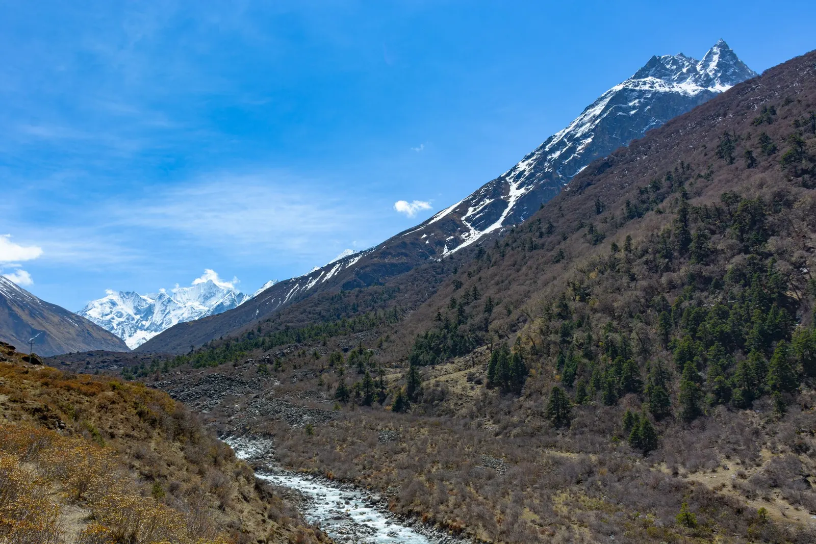
A glacier valley north of Kathmandu, walked from Syabrubesi through forest and yak pastures to Kyanjin Gompa under Langtang Lirung.
Town or village · 845 m
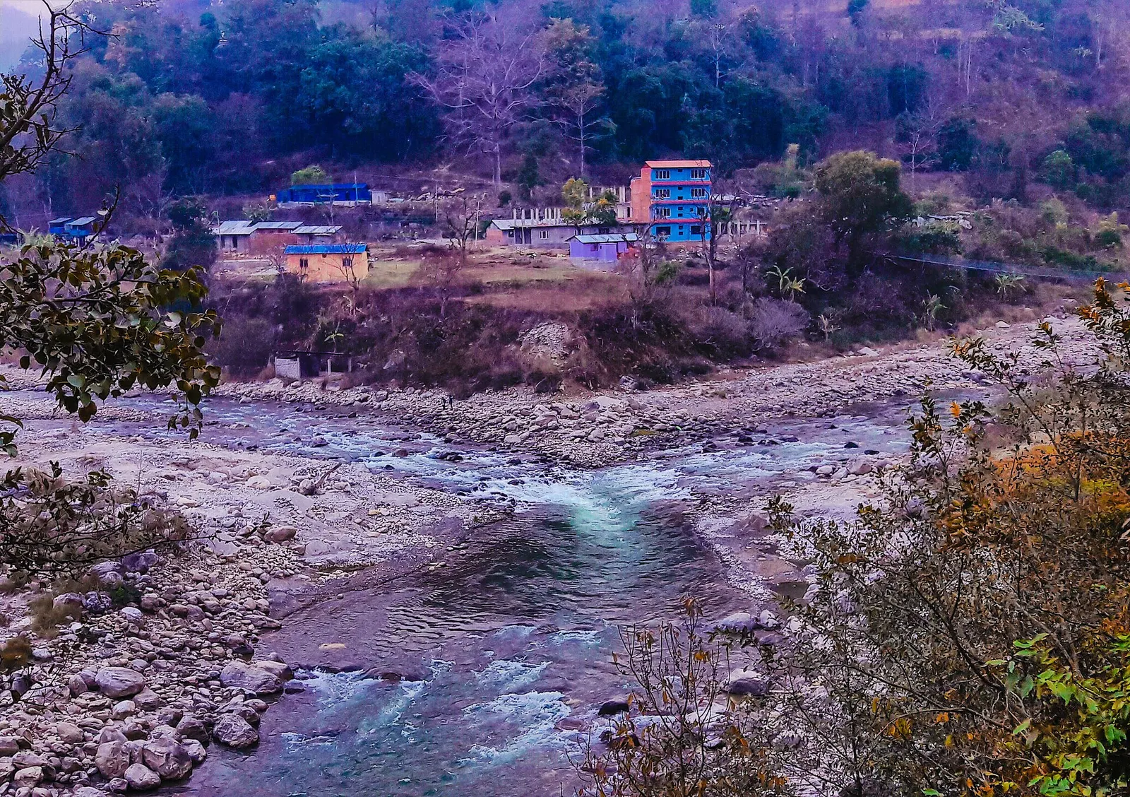
A river-junction market town in Sindhupalchok and the road gateway to Helambu, rebuilt after the 2021 floods.
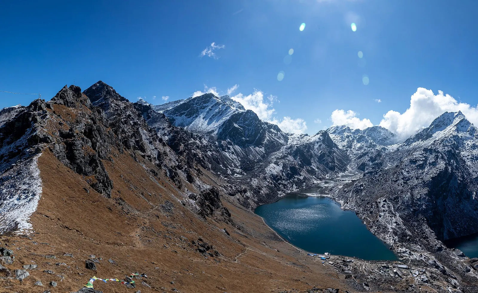
Lake · 4,380 m
A sacred alpine lake at about 4,380 m in Langtang National Park, a Hindu and Buddhist pilgrimage site and a high point between Langtang and Helambu.
Town or village · 2,030 m
The district headquarters of Rasuwa and the road-side start of the Gosaikunda trail.
Trek stop · 3,330 m
A forest settlement with a small monastery on the climb to the Gosaikunda lakes.
Trek stop · 1,460 m
The road-head village in Rasuwa where the Langtang Valley trek begins.
Trek stop · 2,210 m
A Tamang ridge village that links the Langtang Valley with the Gosaikunda trail.
Valley or region
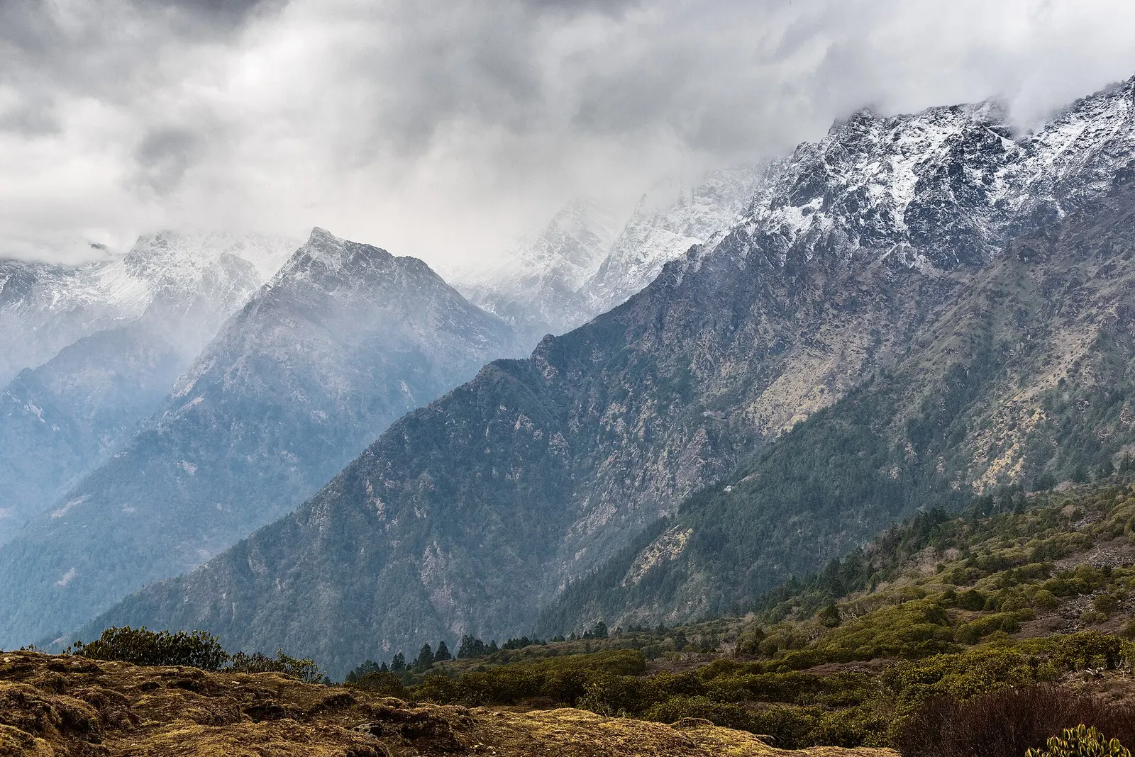
The trekking region closest to Kathmandu: glacier valleys, holy lakes and Hyolmo villages across Rasuwa, Nuwakot and Sindhupalchok.