

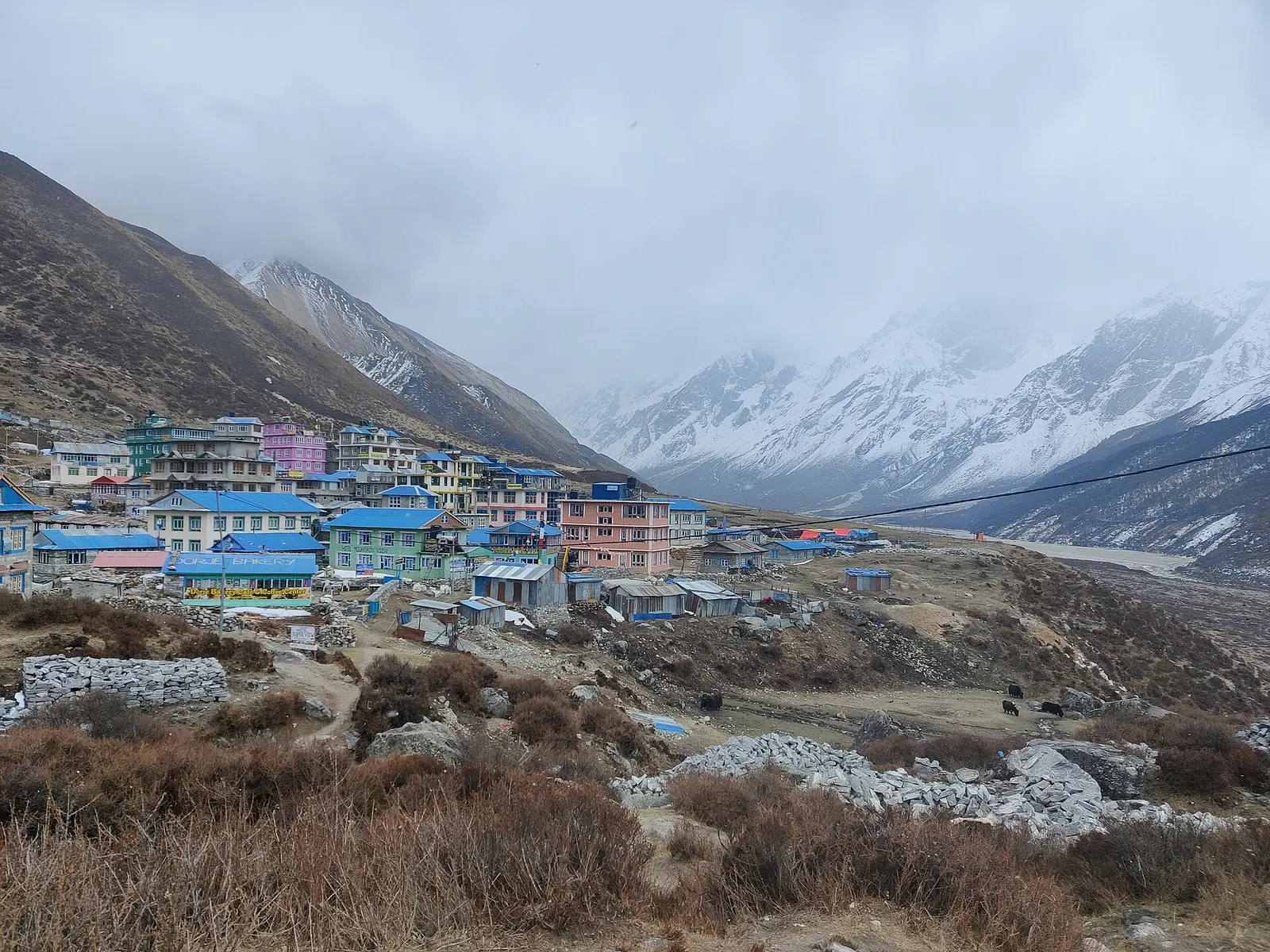
Trek stop · 3,870 m
Kyanjin Gompa
The high village and monastery at the head of the Langtang Valley trek, base for day climbs to Kyanjin Ri and Tserko Ri.
Langtangलाङटाङ उपत्यका
A glacier valley north of Kathmandu, walked from Syabrubesi through forest and yak pastures to Kyanjin Gompa under Langtang Lirung.
This is the Langtang Valley in Rasuwa, the classic trek from Syabrubesi to Kyanjin Gompa; the wider Langtang region has its own page.
Higher seasonal exposure: landslides (Jun-Sep), road blockages (Jun-Sep), cold (Dec-Feb).
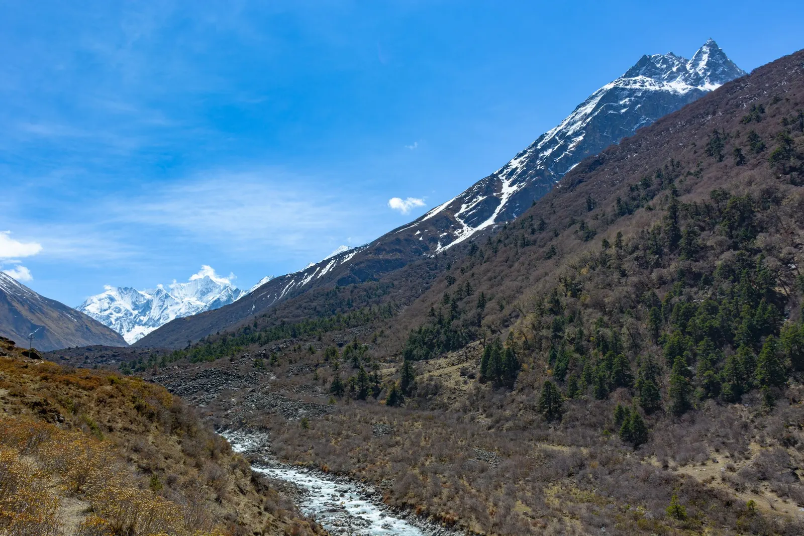
The Langtang Valley lies in Rasuwa District about 80 km north of the Kathmandu Valley, inside Langtang National Park and close to the Tibet border. It is the best-known part of the Langtang region and one of Nepal's most popular teahouse treks after the Annapurna and Everest routes. The Langtang Khola flows west out of the valley to meet the Bhote Koshi at Syabrubesi, the usual trailhead.
The trek climbs through a forested gorge of oak, maple and rhododendron, where red pandas, langurs and Himalayan black bears live, past Bamboo and Lama Hotel. Above Ghodatabela the valley opens into broad yak pastures with mani walls and water-driven prayer wheels, reaching the rebuilt Langtang village and finally Kyanjin Gompa, the high settlement covered on its own page. Langtang Lirung (7,234-7,245 m) towers over the valley's north side.
The usual round trip from Syabrubesi takes about 6-8 days. Many trekkers extend it over Thulo Syabru to Gosaikunda and Helambu, or add the Tamang Heritage Trail villages to the west.
Trek stop · 3,870 m
The high village and monastery at the head of the Langtang Valley trek, base for day climbs to Kyanjin Ri and Tserko Ri.
Trek stop · 2,470 m
A cluster of lodges in the forest of the Langtang Khola gorge, the usual first night of the Langtang trek.
Trek stop · 3,430 m
The rebuilt main village of the upper Langtang Valley, near the site of the 2015 avalanche.
The Langtangpa, as residents call themselves, follow Tibetan Buddhism and speak a Tibetan language close to that of Kyirong across the border; the census counts them as Tamang. They regard Langtang Lirung as their local protector deity, and the valley is believed to be a beyul, a hidden valley blessed by Guru Padmasambhava. Herding yaks and chauri (yak-cattle crossbreeds) and farming potatoes and barley were the main livelihoods until trekking grew from the 1970s. Swiss-style cheese has been made here since the 1950s.
On 25 April 2015 the earthquake triggered a massive avalanche of ice and rock that buried Langtang village almost entirely, killing over 300 people, including residents, trekkers and army personnel. Survivors were evacuated to Kathmandu, and many returned within months to rebuild lodges and homes; a memorial now stands near the old village site. Researchers also monitor the valley's shrinking glaciers and drying springs.
Trek to Kyanjin Gompa
Walk from Syabrubesi via Lama Hotel and Langtang village, typically 3 days up and 2-3 days down.
Visit the 2015 memorial
Pause at the memorial near the old Langtang village site to remember the people lost.
Wildlife watching
Walk quietly through the forest between Bamboo and Lama Hotel in the early morning for birds, langurs and, with luck, red panda.
Forecast for 3,870 m. Conditions change fast in the mountains.
Weather data: MET Norway, licensed CC BY 4.0. A forecast, not a guarantee.
Mar-May, Oct-Nov
Teahouses at Bamboo, Rimche, Lama Hotel, Ghodatabela, Thangshyap, Langtang village, Mundu and Kyanjin Gompa; rooms are simple and often unheated.
No partner stays are listed here yet. List a property.
Drive from Kathmandu to Syabrubesi, then trek up the valley. Road access via Dhunche and Syabrubesi was badly damaged by the August 2026 floods; check the current route.
Nearest hub: Syabrubesi
Nearest hub: Syabrubesi. Times are typical ranges, not schedules, and vary with roadworks, weather and the season.
By busfrom Kathmanduabout 8-11 hLocal buses
Local and air-conditioned buses run from Macha Pokhari bus park via Trishuli and Dhunche. Allow 8 to 11 hours, more in the monsoon.
When to set off: Buses for Rasuwa leave Kathmandu's Macha Pokhari bus park in the morning; start early, because the run takes 8 to 11 hours and longer in rain.
By car or jeepfrom Kathmanduabout 7-8 h
A hired jeep carries up to about seven people and takes roughly 7 to 8 hours via Trishuli and Dhunche.
Road: A steep hill road that varies from reasonable blacktop to rough, broken sections; a jeep or 4WD is the usual choice and the climb is slide-prone in the monsoon.
When to set off: Leave Kathmandu by about 06:00 so the long hill section is driven in daylight.
By motorbikefrom Kathmanduabout 7-9 hExperienced riders only
A long, rough hill ride for experienced riders only; carry spares and avoid it in the monsoon.
Road: Steep hill road described as anything from okay to horrible, with loose and broken sections.
On footfrom Syabrubesi3 days up from Syabrubesi (about 6-7 h, 6-7 h and 2-3 h), 2 days back down
The trek is three walking days up and two down: Syabrubesi to Lama Hotel, Lama Hotel to Langtang village, then a short stage to Kyanjin Gompa.
When to set off: Start each stage early; cloud usually builds in the valley by the afternoon.
Permit required
A Langtang National Park entry permit is required and checked at the park entry and along the trail. Check whether a TIMS card is currently required. Since April 2023 foreign trekkers in national parks and conservation areas are generally required to go with a licensed guide; check the current rule.
Verify before travel: permit rules and fees change. Checked 2026-10-06 against Langtang (Wikipedia).
On the Langtang Valley trek, Langtang, Gosaikunda and Helambu trek, Tamang Heritage Trail and Langtang.
What this place is typically exposed to, and when. These are seasonal patterns, not a report on conditions now.
Landslideshigh in a typical yearJun-Sep
The Langtang gorge is geologically active and the main trail was rerouted after the 2015 earthquake; monsoon rain loosens the slopes, so slide-prone sections are best crossed without lingering.
Road blockageshigh in a typical yearJun-Sep
Expect the Rasuwa road to be slower in the monsoon: the bus run that takes 8 to 11 hours in dry weather typically takes longer when it rains, and slides can hold vehicles up.
Coldhigh in a typical yearDec-Feb
December to February brings hard frost and deep cold at this height, with short days and lightly heated lodges; a four-season sleeping bag and down layers are normal kit.
Floodingmoderate in a typical yearJun-Sep
The Trishuli and Bhote Koshi run high and heavy with debris through the monsoon, and valley-floor road sections beside the rivers are the parts most often damaged.
Avalanche terrainmoderate in a typical yearDec-Apr
The upper Langtang valley is geologically active and avalanche paths reach the valley floor; the 2015 earthquake-triggered avalanche that destroyed Langtang village is the extreme case, while snow-loaded slopes in winter and early spring are the ordinary seasonal concern.
Altitudemoderate in a typical yearAll year
General information, not medical advice: above about 3,000 m altitude illness becomes a real risk. Gain sleeping height slowly, learn the symptoms of headache with nausea, breathlessness or unsteady walking, and go down if they get worse. See a doctor before travelling and carry insurance that covers helicopter evacuation. The valley trail climbs from about 1,460 m at Syabrubesi to about 3,870 m at Kyanjin Gompa in three days, so an acclimatisation day at the top is normal.
Snowmoderate in a typical yearDec-Mar
Snow covers the upper valley through winter and into March; some upper lodges shut and the high day hikes may not be practical.
Check current conditions before you travel
Roads, trails, passes and flights change with the weather and with roadworks, and nothing on this page describes conditions today. Before you set off, check the Department of Hydrology and Meteorology for weather and flood warnings, the Nepal Disaster Risk Reduction Portal for incidents, and the local authority, police or your licensed operator for road, trail and flight status.
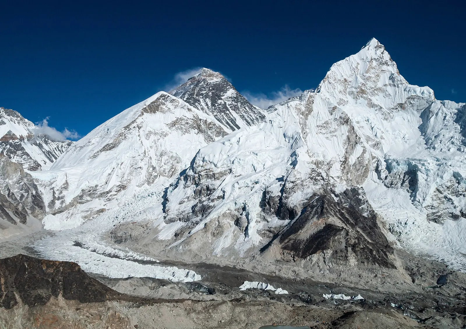
The classic teahouse trek from Lukla through Sherpa villages to Everest Base Camp (5,364 m) and the Kala Patthar viewpoint, with acclimatisation days in Namche and Dingboche.
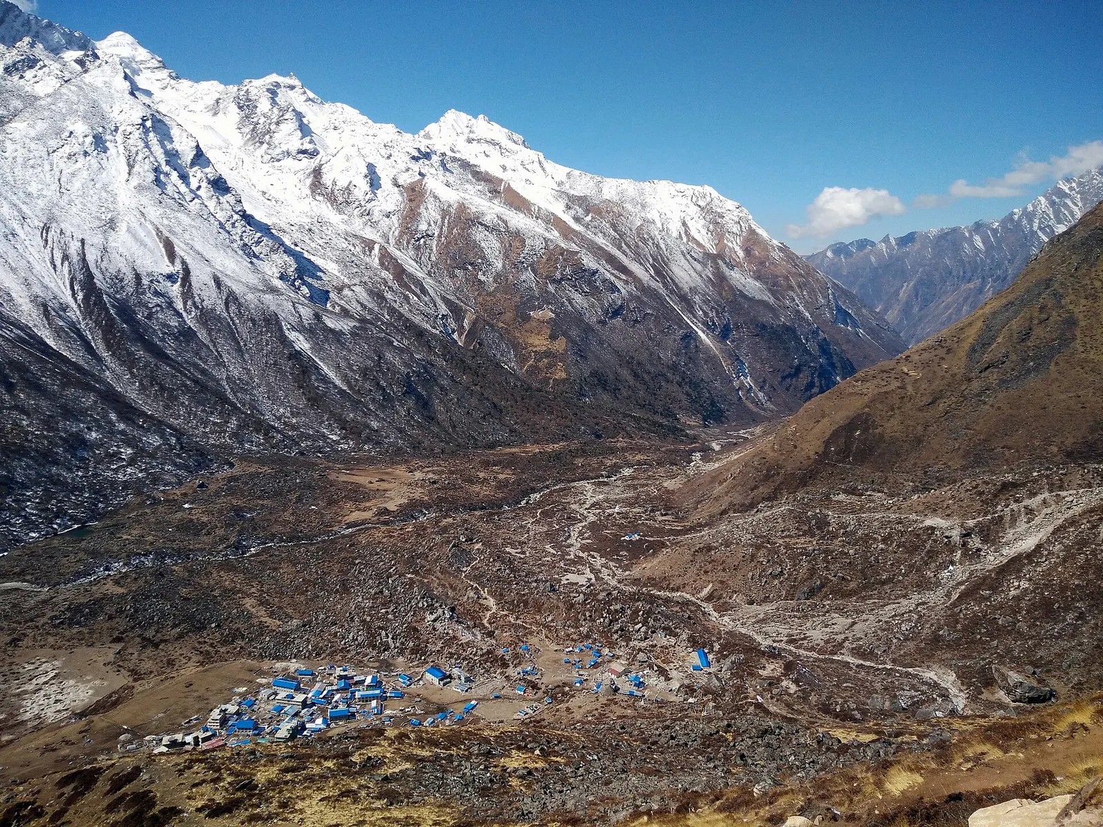
A road-accessed teahouse trek from Syabrubesi up the Langtang Khola to Kyanjin Gompa (about 3,870 m), with an optional climb to Tserko Ri for close views of Langtang Lirung. Check road access after the August 2026 floods.
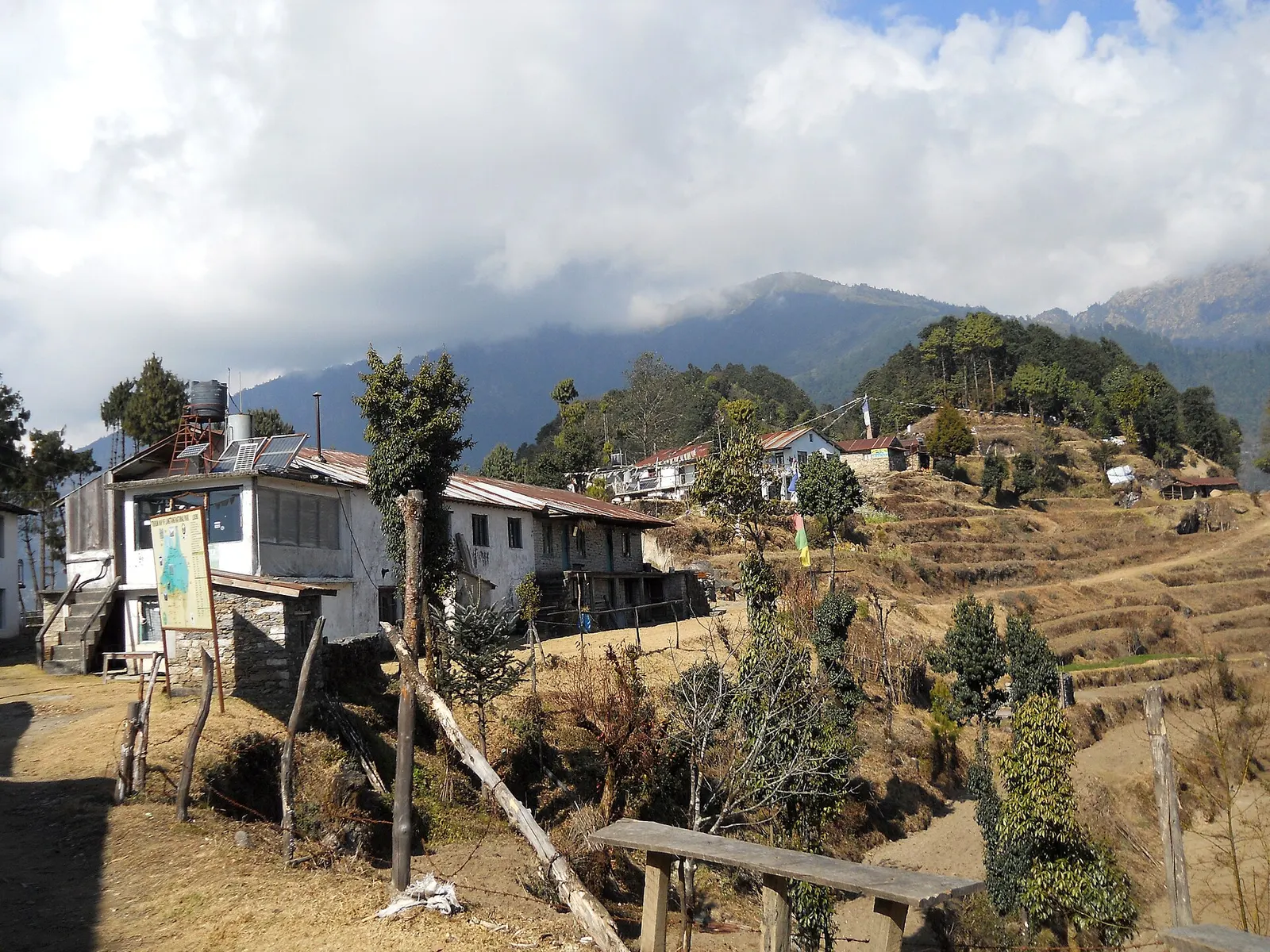
A short trek that starts on the edge of Kathmandu at Sundarijal and follows forested ridges to Tharepati (about 3,650 m), then visits the Hyolmo villages of Melamchi Gaon, Tarkeghyang and Sermathang before a drive back.
About 6-8 days round trip from Syabrubesi, plus travel days from Kathmandu.
Trekking operators reported that the valley trail itself was not flooded, but road access around Syabrubesi and Dhunche was badly damaged. Check the latest official and operator information before going.
Yes, a Langtang National Park entry permit. Check the current TIMS and guide rules too.
It ends at Kyanjin Gompa, about 3,870 m, with optional day hikes to viewpoints near 4,700-5,000 m.
Valley or region
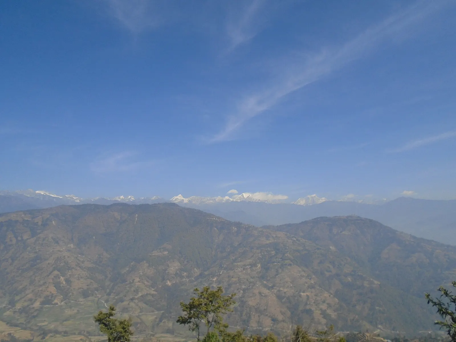
Hyolmo villages, monasteries and apple orchards in the hills north-east of Kathmandu, on a trek that can start from the city's edge.
Town or village · 845 m
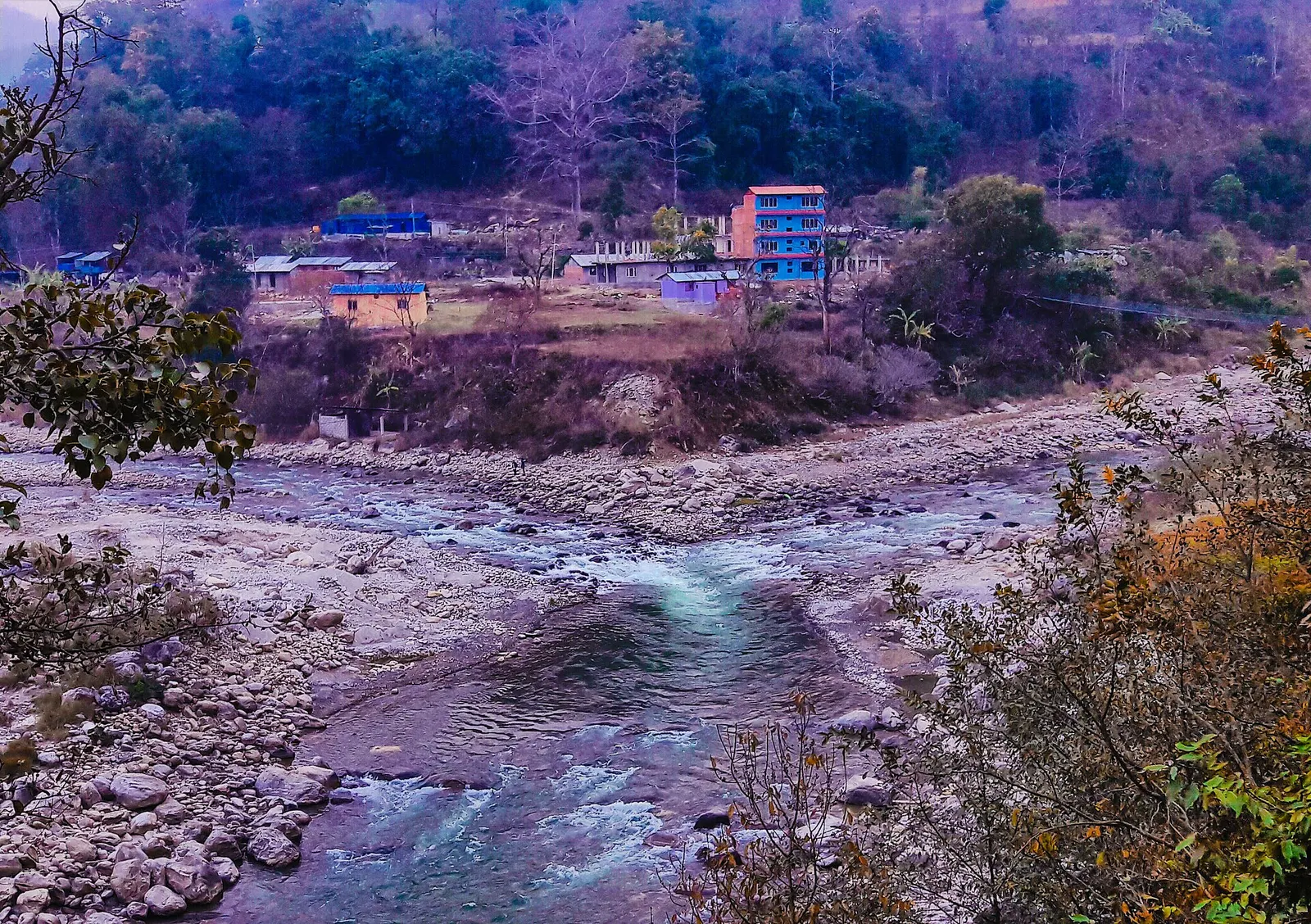
A river-junction market town in Sindhupalchok and the road gateway to Helambu, rebuilt after the 2021 floods.
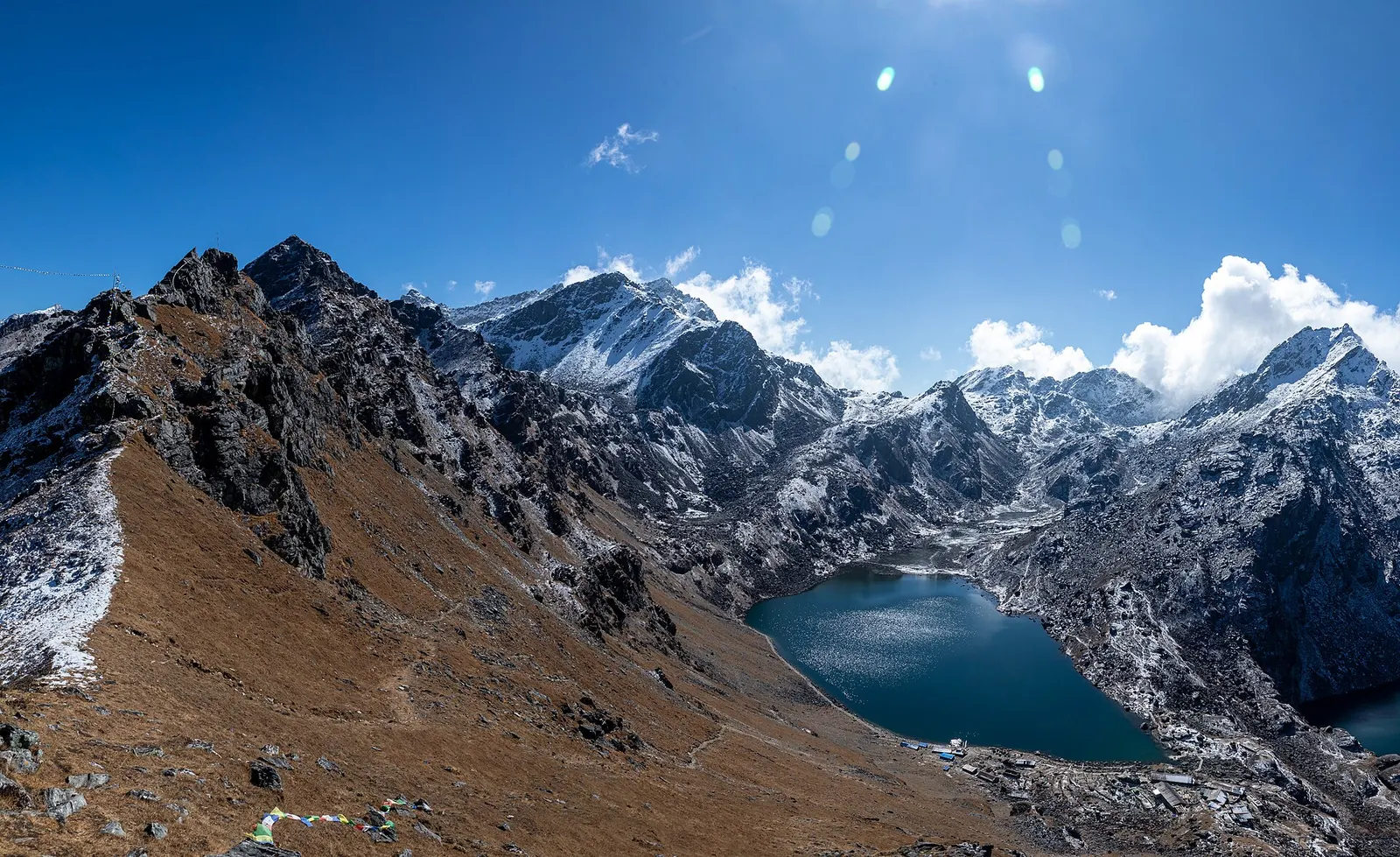
Lake · 4,380 m
A sacred alpine lake at about 4,380 m in Langtang National Park, a Hindu and Buddhist pilgrimage site and a high point between Langtang and Helambu.
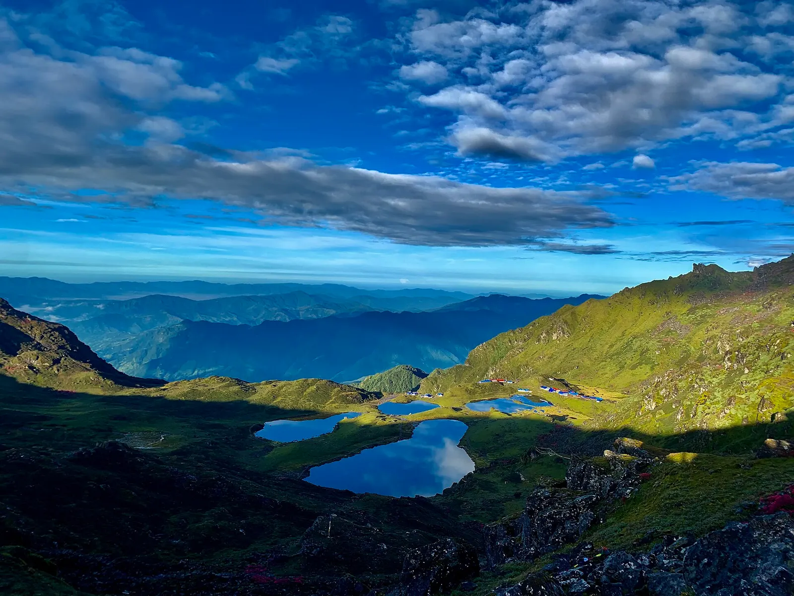
Lake · 4,100 m
Five holy lakes at about 4,100 m below the Jugal Himal in Sindhupalchok, a pilgrimage at Janai Purnima and a quiet trek.
Town or village · 2,030 m
The district headquarters of Rasuwa and the road-side start of the Gosaikunda trail.
Trek stop · 3,330 m
A forest settlement with a small monastery on the climb to the Gosaikunda lakes.
Trek stop · 1,460 m
The road-head village in Rasuwa where the Langtang Valley trek begins.
Trek stop · 2,210 m
A Tamang ridge village that links the Langtang Valley with the Gosaikunda trail.
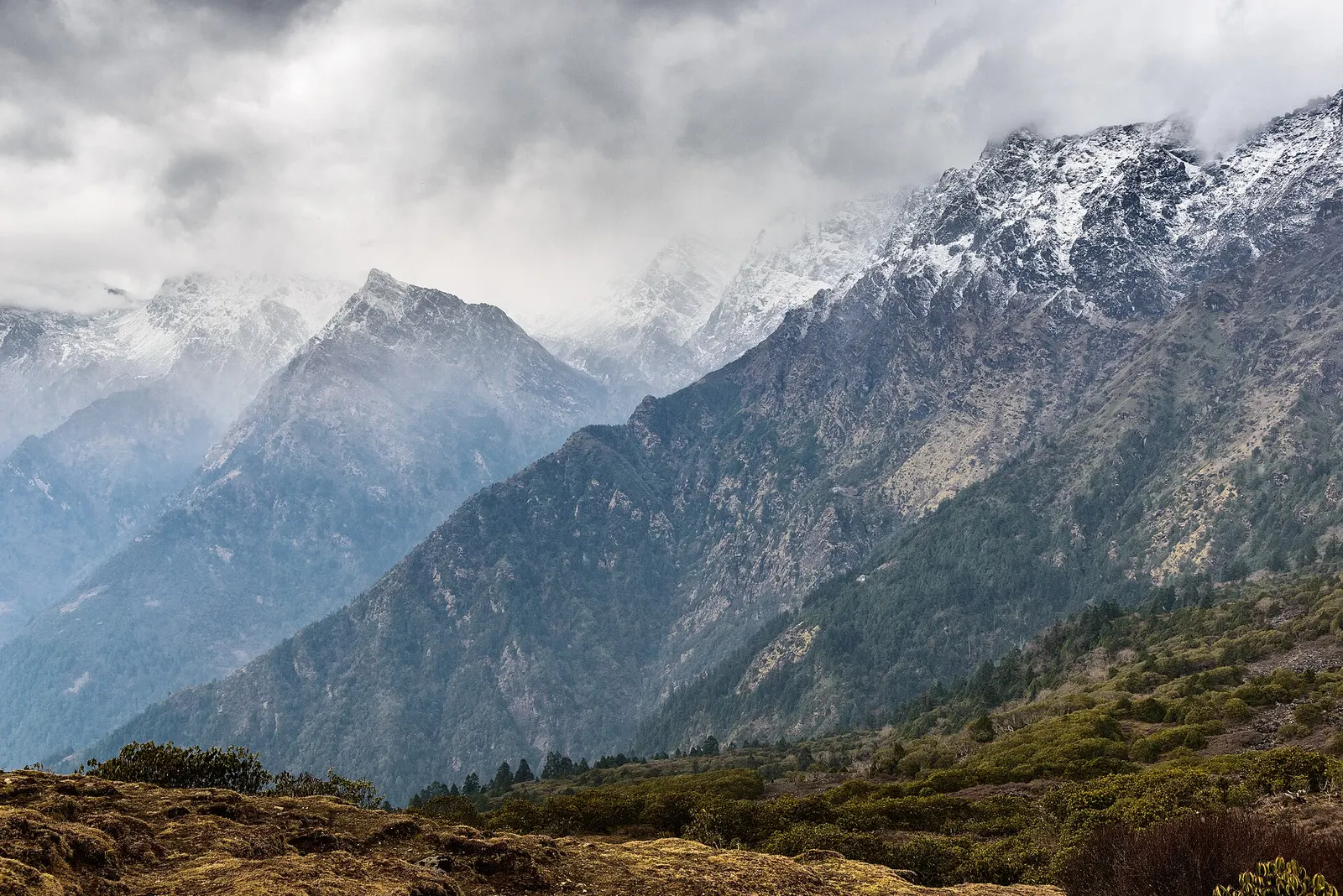
Valley or region
The trekking region closest to Kathmandu: glacier valleys, holy lakes and Hyolmo villages across Rasuwa, Nuwakot and Sindhupalchok.
Trek stop · 3,870 m
The high village and monastery at the head of the Langtang Valley trek, base for day climbs to Kyanjin Ri and Tserko Ri.