
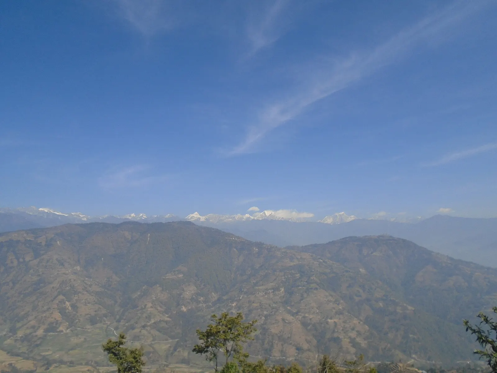
Valley or region
Helambu
Hyolmo villages, monasteries and apple orchards in the hills north-east of Kathmandu, on a trek that can start from the city's edge.
Bagmati Provinceसिन्धुपाल्चोक
Mountain district north-east of Kathmandu, home to the Helambu trekking region, the Panch Pokhari lakes and the Bhote Koshi valley.
Sindhupalchok stretches from the hills just north-east of the Kathmandu Valley to the Jugal Himal and the Tibetan border. The Bhote Koshi, Sunkoshi, Indrawati and Melamchi rivers cut deep valleys through the district. Rasuwa and Nuwakot lie to the west, Kathmandu to the south-west, Kavrepalanchok to the south and Dolakha to the east. The Araniko Highway follows the Bhote Koshi towards the border at Tatopani.
Tamang, Hyolmo, Sherpa, Newar, Brahmin and Chhetri communities live here, with Hyolmo Buddhist villages in the Helambu area. The district was badly hit by the 2015 earthquake and later by severe flooding along the Melamchi. Travellers come for the Helambu trek through Chisapani, Melamchi Gaon, Tarkeghyang and Sermathang, for the high lakes of Panch Pokhari, and for adventure sports in the Bhote Koshi valley.
Valley or region
Hyolmo villages, monasteries and apple orchards in the hills north-east of Kathmandu, on a trek that can start from the city's edge.
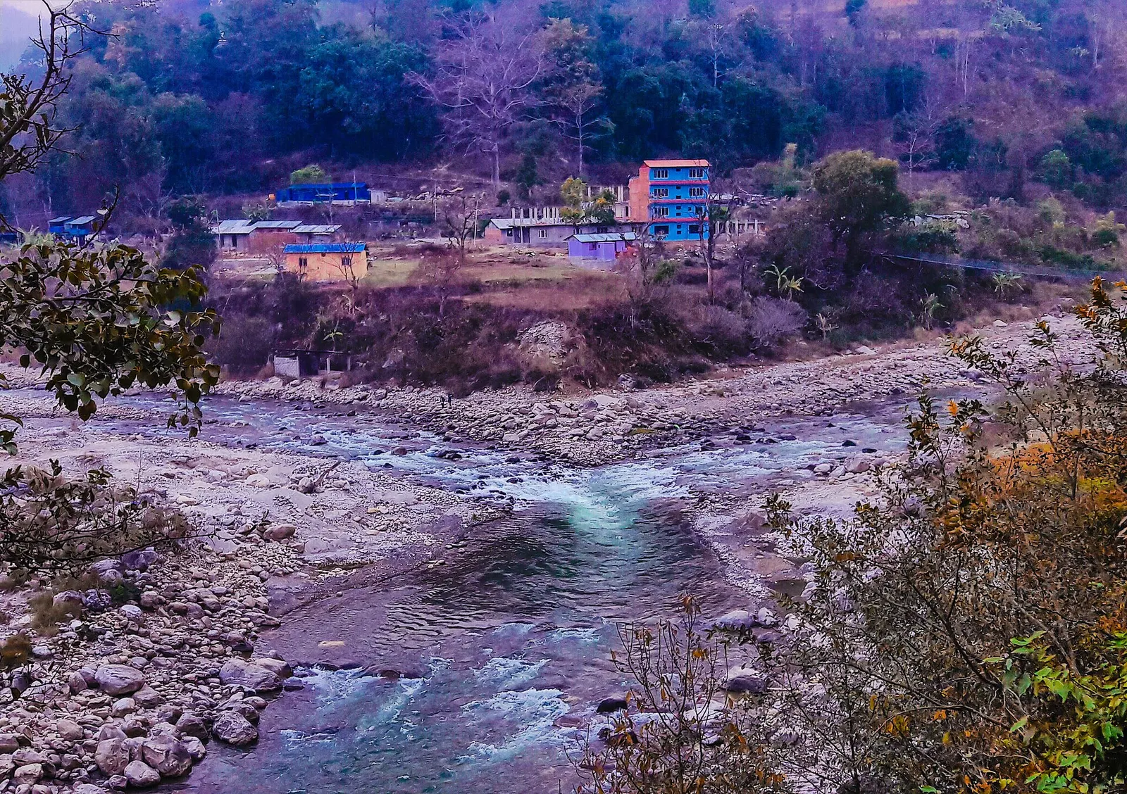
Town or village · 845 m
A river-junction market town in Sindhupalchok and the road gateway to Helambu, rebuilt after the 2021 floods.
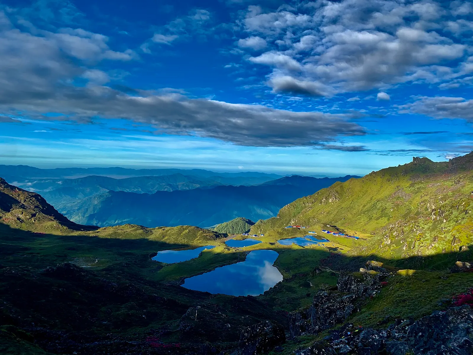
Lake · 4,100 m
Five holy lakes at about 4,100 m below the Jugal Himal in Sindhupalchok, a pilgrimage at Janai Purnima and a quiet trek.
Chautara is reached from Kathmandu by road via the Araniko Highway, a drive of a few hours. Roads also run to Melamchi and on towards Helambu villages, while the Araniko Highway continues up the Bhote Koshi valley towards the Tibetan border. Chisapani is commonly reached on foot from Sundarijal on the edge of the Kathmandu Valley. Kathmandu has the nearest airport.
October to November and March to May offer the best trekking weather and views; winter brings snow on the higher ridges, and the monsoon causes frequent landslides and road closures in the river valleys.
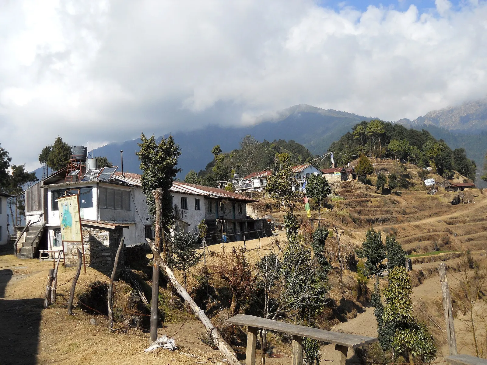
A short trek that starts on the edge of Kathmandu at Sundarijal and follows forested ridges to Tharepati (about 3,650 m), then visits the Hyolmo villages of Melamchi Gaon, Tarkeghyang and Sermathang before a drive back.