
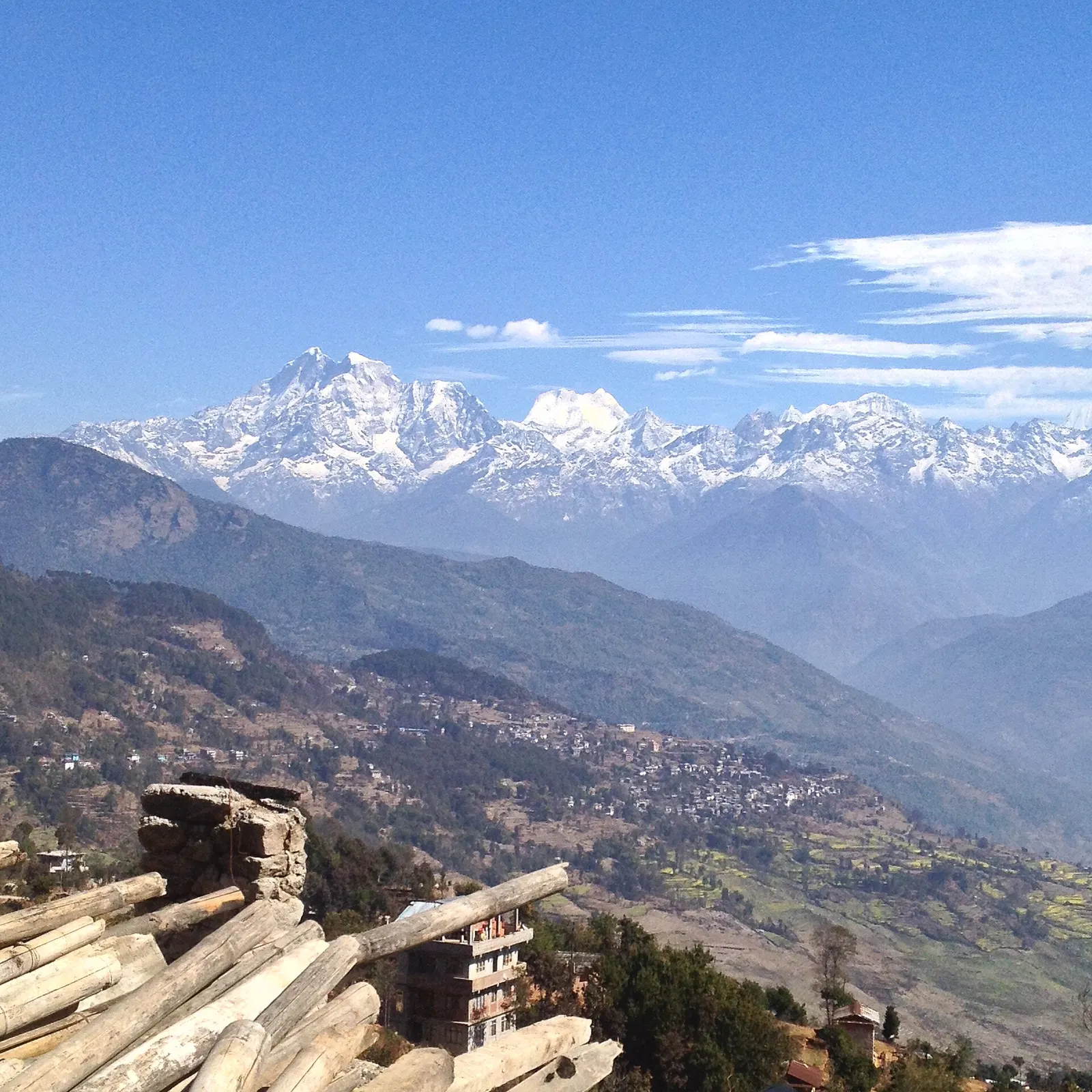
Valley or region
Dolakha
A hill district east of Kathmandu between the Tamakoshi gorges and the Gaurishankar range, with snow pilgrimages, an old Newar town and high trekking valleys.
Bagmati Provinceदोलखा
A mountain district east of Kathmandu, known for the Bhimsen temple at Dolakha, the winter snows of Kalinchowk and the remote Rolwaling Valley.
Dolakha lies north-east of Kathmandu, rising from the Tamakoshi and Sunkoshi river valleys in the south to the Rolwaling Himal and Gaurishankar on the Tibetan border. Sindhupalchok lies to the west, Ramechhap to the south and Solukhumbu to the east. The Tamakoshi cuts through the district from north to south, and much of the north falls within the Gaurishankar Conservation Area.
Tamang, Sherpa, Thami, Jirel, Newar, Brahmin and Chhetri communities live here, and farming dominates the hill economy. The old Newar bazaar of Dolakha, beside the headquarters at Charikot, is home to the revered Dolakha Bhimsen Temple. Travellers come for pilgrimage and snow at Kalinchowk Bhagwati, for the Sailung hills, for treks into the Rolwaling Valley, and for the historic walking route to Everest that once began at Jiri.
Valley or region
A hill district east of Kathmandu between the Tamakoshi gorges and the Gaurishankar range, with snow pilgrimages, an old Newar town and high trekking valleys.
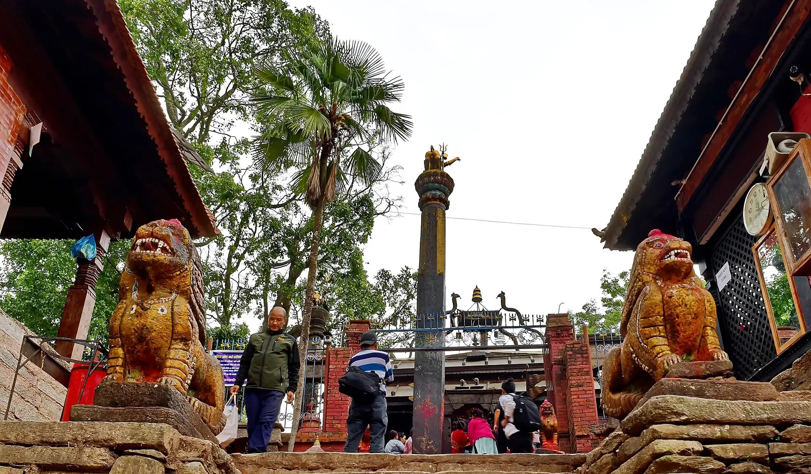
Temple, monastery or heritage site
An open-roofed temple in the old Newar town of Dolakha, where a triangular stone image of Bhimsen is worshipped as a god of trade and fortune.
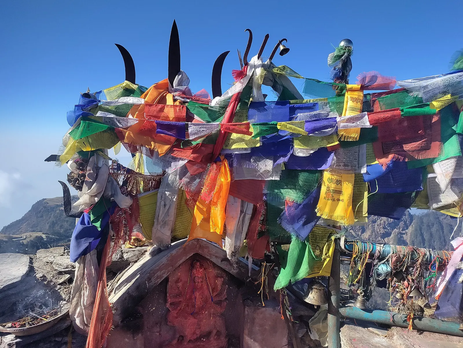
Temple, monastery or heritage site · 3,842 m
A Hindu shrine on a 3,842 m ridge in Dolakha, reached from Kuri on foot or by cable car, known for winter snow and mountain views.
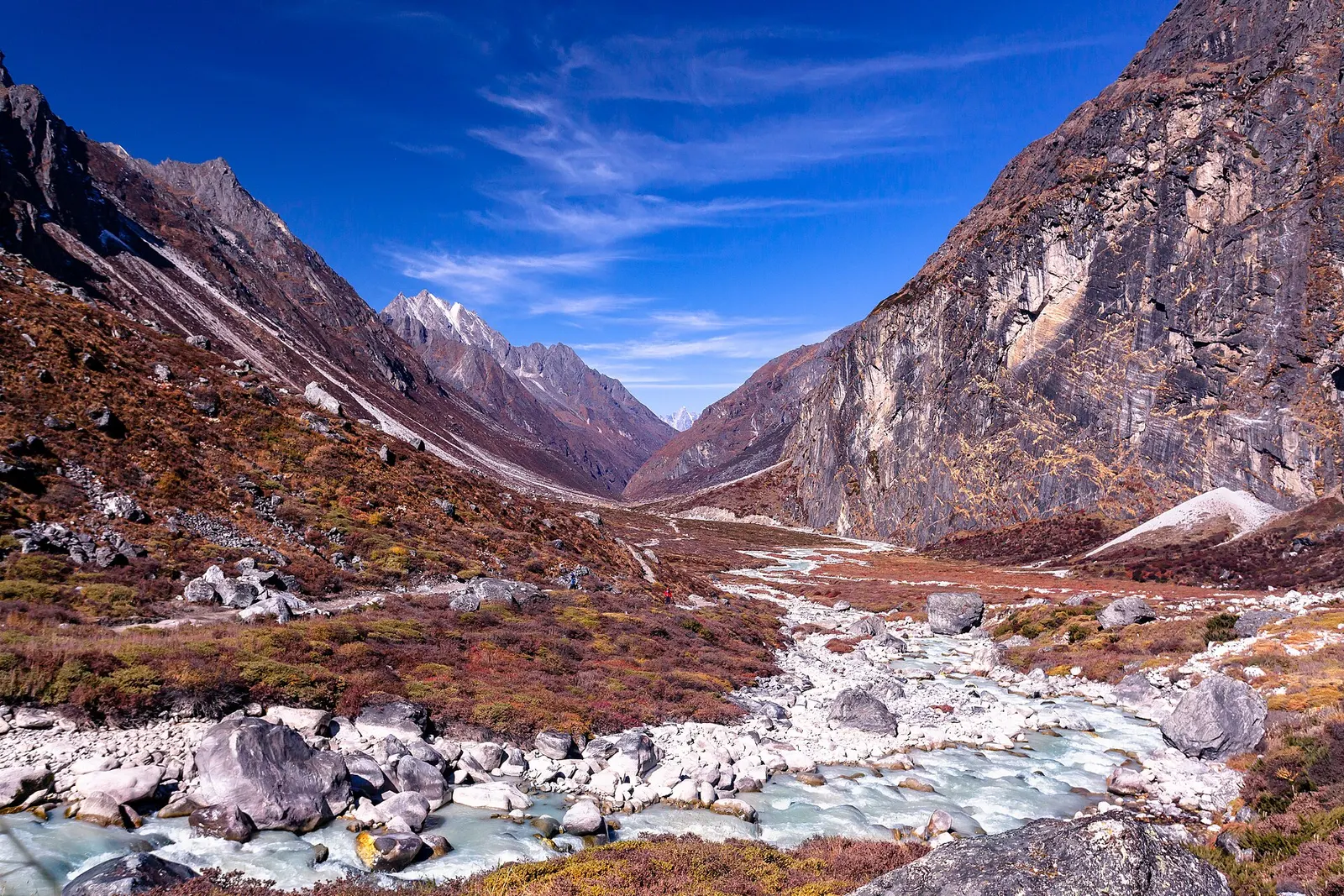
Valley or region
A remote Sherpa valley under Gaurishankar in Dolakha, trekked to the glacial lake Tsho Rolpa, with a technical pass to the Everest region.
Viewpoint · 3,146 m
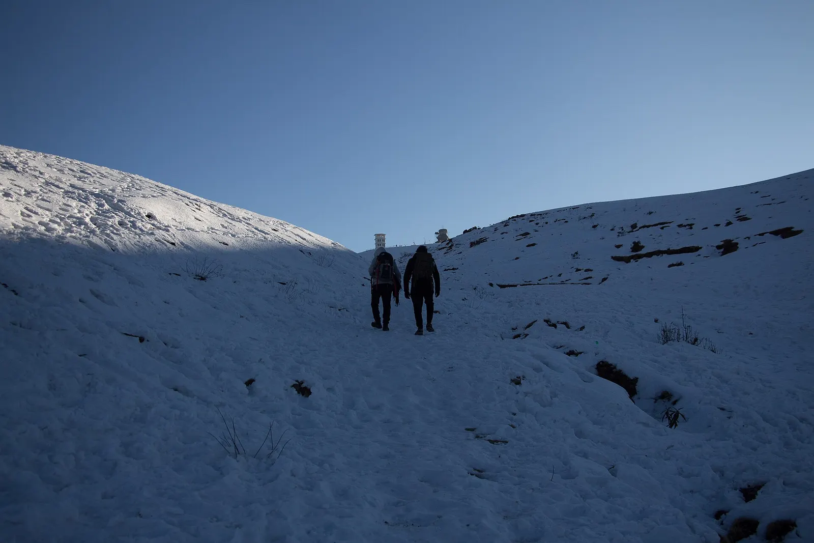
A high ridge of grassy domes on the Dolakha-Ramechhap border, with a wide Himalayan view and a hilltop Shiva shrine.
Charikot is reached by road from Kathmandu along the Araniko Highway and then the Lamosangu to Jiri road, usually a long half-day to a full day's drive. Kalinchowk and Jiri are further on by local roads. Kathmandu has the nearest airport with regular international connections.
Autumn and spring offer the clearest views and the best trekking; winter brings snow to Kalinchowk and the high ground, and the monsoon months are wet with frequent road disruption.
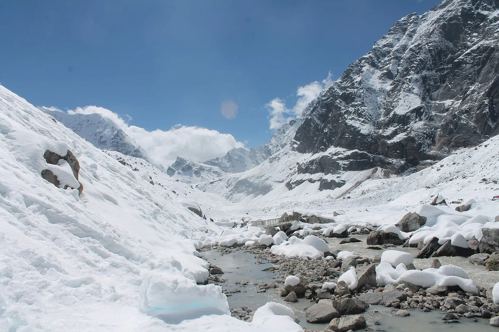
A network of high and mid-hill routes about 1,700 km long that crosses Nepal from Kanchenjunga in the east to Humla and the far west, usually walked in sections, or as a through-trek of about four to five months.