
Valley or region
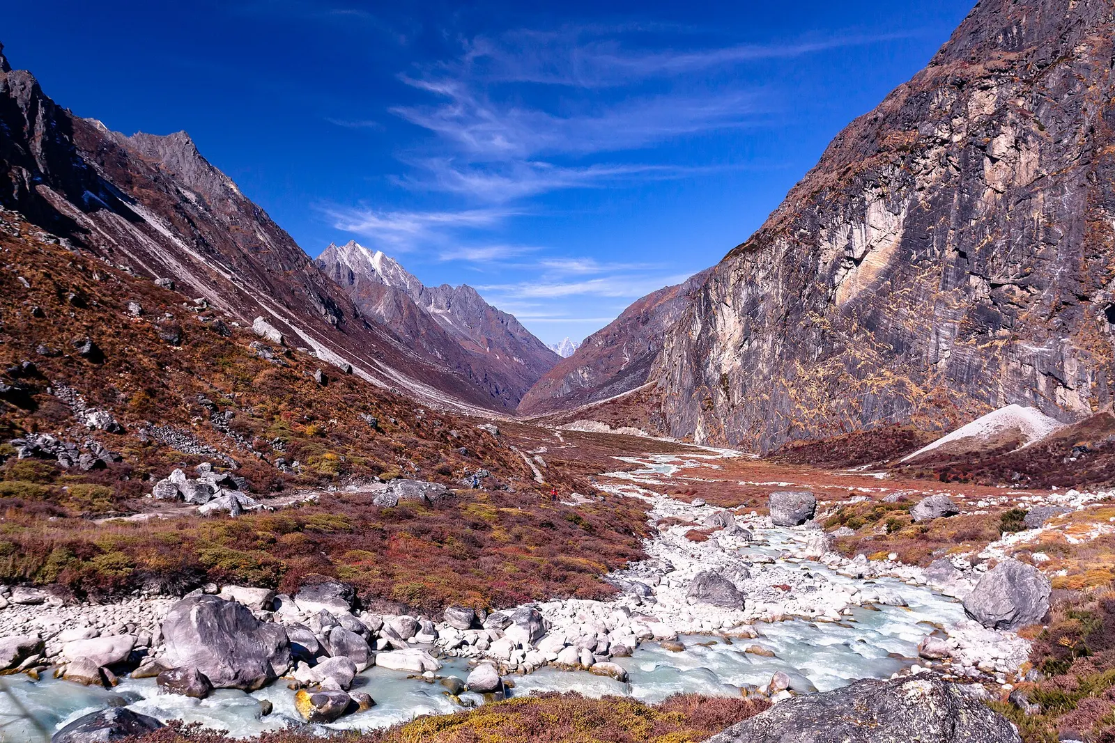
Rolwaling Valley
A remote Sherpa valley under Gaurishankar in Dolakha, trekked to the glacial lake Tsho Rolpa, with a technical pass to the Everest region.
Dolakhaसैलुङ
A high ridge of grassy domes on the Dolakha-Ramechhap border, with a wide Himalayan view and a hilltop Shiva shrine.
This is the Sailung hill on the Dolakha-Ramechhap border, not Shailung Rural Municipality as an administrative unit.
Higher seasonal exposure: cold (Dec-Feb), landslides (Jun-Sep), road blockages (Jun-Sep).
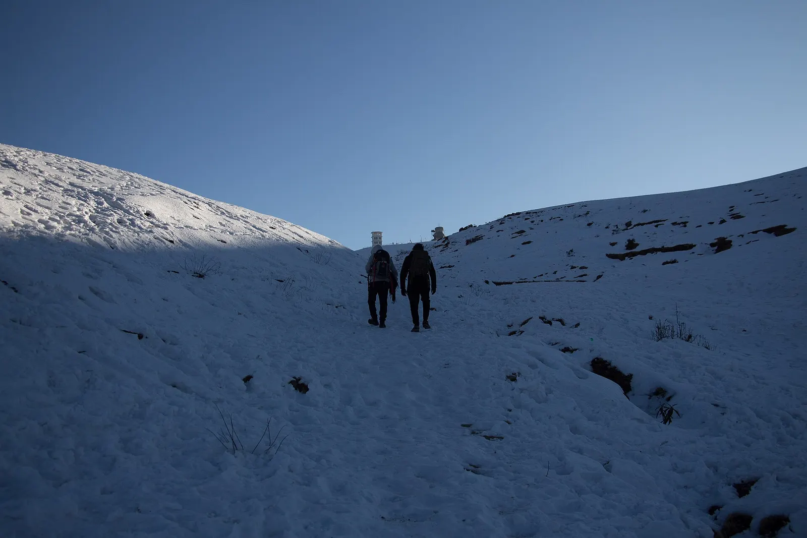
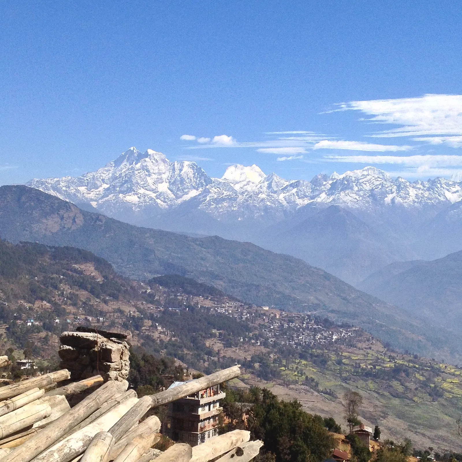
Sailung is a broad hill top at about 3,146 m on the border of Dolakha and Ramechhap districts, south of Charikot. Its upper slopes are a rolling sea of grassy mounds, often said to number a hundred or more, with rhododendron and oak forest lower down. On clear mornings the view stretches along a long section of the Himalaya, from Langtang and Dorje Lakpa through Gaurishankar and the Rolwaling peaks towards the Everest group.
Visitors come for sunrise, short walks between the domes, winter snow and the quiet. Most spend a night in simple lodges or homestays near the top or below the ridge, then walk up before dawn. As a Dolakha attraction it pairs with Charikot and Kalinchowk, though it is reached from a different road.
Sailung stands well apart from higher neighbours, with a topographic prominence of over 800 m, which is why the summit view is so open in every direction. Trails approach from several villages on both the Dolakha and Ramechhap sides; walking all the way up from the river valleys is a long climb of close to 3,000 m, so most people drive as high as the season's roads allow and finish on foot.
The name is often explained as coming from 'saya' (a hundred) and 'lung' (hills), after the many mounds on the summit. At the top stands a shrine to Sailungeshwar Mahadev, a form of Shiva, and the hill is visited by pilgrims on Janai Purnima and Shivaratri. Small chortens and prayer flags show the Tamang and Buddhist presence in the surrounding villages.
The villages around the hill are mostly farming communities of Tamang, Brahmin, Chhetri and Thami families. Domestic tourism has grown since the late 2010s, and simple lodges and homestays have opened near the top, but facilities remain basic compared with Kalinchowk.
Sunrise walk
Climb to the highest dome before dawn from a nearby lodge or homestay; allow 30 minutes to an hour.
Ridge wandering
Walk between the grassy mounds and chortens on the summit plateau for a few hours.
Pilgrimage days
Visit during Janai Purnima or Shivaratri to see devotees at the Shiva shrine.
Forecast for 3,146 m. Conditions change fast in the mountains.
Weather data: MET Norway, licensed CC BY 4.0. A forecast, not a guarantee.
Oct-Apr
Simple lodges and homestays near the top and in villages below; facilities are basic.
No partner stays are listed here yet. List a property.
Sailung is reached by road from Kathmandu or Charikot to villages below the ridge, followed by a walk of a few hours; road routes and conditions vary.
Nearest hub: Charikot
Nearest hub: Dolakha. Times are typical ranges, not schedules, and vary with roadworks, weather and the season.
By busfrom Kathmanduabout 6-8 hLocal buses
Buses on the Kathmandu to Charikot road pass Mude, the usual turn-off for Sailung; the last stretch is by local jeep and on foot.
When to set off: Take an early Charikot or Jiri bus and get off at Mude; local jeeps then run towards the ridge.
By car or jeepfrom Kathmanduabout 6-8 h
By road to the Dolakha side, roughly 130 to 150 km and 7 to 8 hours, then a jeep track from Mude towards Dhunge and the ridge.
Road: Sealed highway to Mude, then a rough jeep track towards the ridge where a 4WD is normally needed; poor going in the monsoon and after snow.
When to set off: Leave Kathmandu by 06:00 so there is daylight for the jeep track and the walk up; most people sleep near the ridge for sunrise.
By motorbikefrom Dolakhaabout 2-3 hExperienced riders only
The track from Mude is steep, loose and rutted; experienced riders only, and poor in the monsoon.
Road: Rough, steep jeep track from Mude towards Dhunge and the ridge.
On footfrom Dolakhaabout 2-4 hAbout 2-4 h from the roadhead near Dhunge up to the summit ridge
From the roadhead the last stretch to the grassy hilltops at about 3,146 m is on foot.
When to set off: Walk up in the afternoon and stay near the top, or start before dawn for the sunrise.
None needed
No permit is needed for Sailung.
Verify before travel: permit rules and fees change. Checked 2026-10-06 against Shailung Rural Municipality (Wikipedia).
What this place is typically exposed to, and when. These are seasonal patterns, not a report on conditions now.
Coldhigh in a typical yearDec-Feb
Winter nights on the ridge are freezing and exposed, and accommodation up here is basic.
Landslideshigh in a typical yearJun-Sep
The Araniko Highway corridor runs under extremely steep hillsides that are very prone to landslides, and large slides after heavy rain are a recurring monsoon pattern on this route.
Road blockageshigh in a typical yearJun-Sep
Monsoon slides on the Araniko Highway and the Lamosangu to Jiri road can hold up or divert vehicles for anything from hours to weeks; a 2014 slide closed the highway for 46 days.
Altitudemoderate in a typical yearAll year
General information, not medical advice: above about 3,000 m altitude illness becomes a real risk. Gain sleeping height slowly, learn the symptoms of headache with nausea, breathlessness or unsteady walking, and go down if they get worse. See a doctor before travelling and carry insurance that covers helicopter evacuation. The ridge tops out at about 3,146 m, which is reached in a single day from Kathmandu by jeep and a short walk.
Snowmoderate in a typical yearDec-Feb
Sailung is one of the more reliable snow spots near Kathmandu from December to February, when the ridge is cold and the jeep track can be hard going.
Othermoderate in a typical yearJun-Sep
From June to August the ridge is usually in fog with rain and leeches on the forest trails, and the Himalayan views that people come for are rare.
Check current conditions before you travel
Roads, trails, passes and flights change with the weather and with roadworks, and nothing on this page describes conditions today. Before you set off, check the Department of Hydrology and Meteorology for weather and flood warnings, the Nepal Disaster Risk Reduction Portal for incidents, and the local authority, police or your licensed operator for road, trail and flight status.
The summit is about 3,146 m.
On clear days, a long Himalayan skyline including the Langtang, Gaurishankar and Rolwaling peaks and towards the Everest group.
Drive about 5-7 hours to villages below the hill, then walk 2-4 hours to the top.
Valley or region
A remote Sherpa valley under Gaurishankar in Dolakha, trekked to the glacial lake Tsho Rolpa, with a technical pass to the Everest region.
Temple, monastery or heritage site
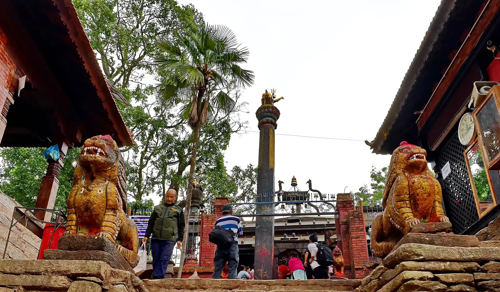
An open-roofed temple in the old Newar town of Dolakha, where a triangular stone image of Bhimsen is worshipped as a god of trade and fortune.
Temple, monastery or heritage site · 3,842 m
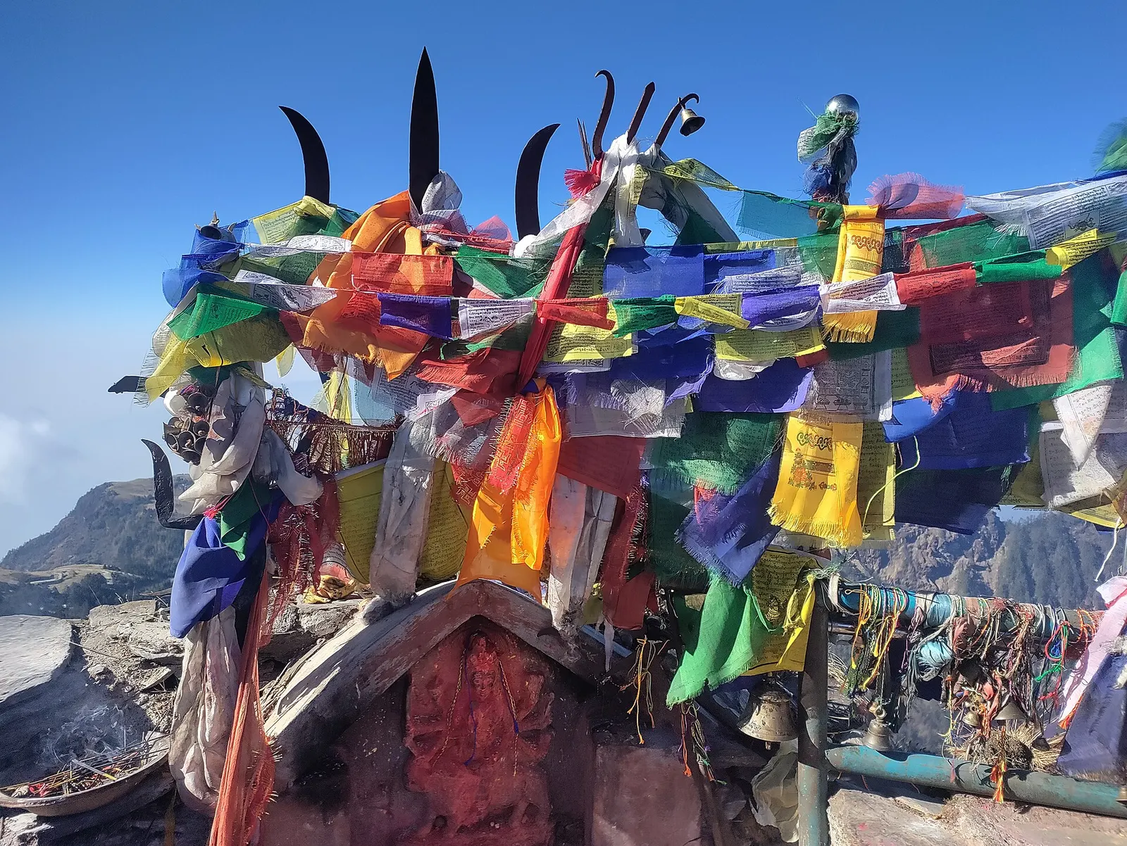
A Hindu shrine on a 3,842 m ridge in Dolakha, reached from Kuri on foot or by cable car, known for winter snow and mountain views.
Valley or region
A hill district east of Kathmandu between the Tamakoshi gorges and the Gaurishankar range, with snow pilgrimages, an old Newar town and high trekking valleys.