Skip to content

Helambuमेलम्ची घ्याङ

Melamchi Gaon

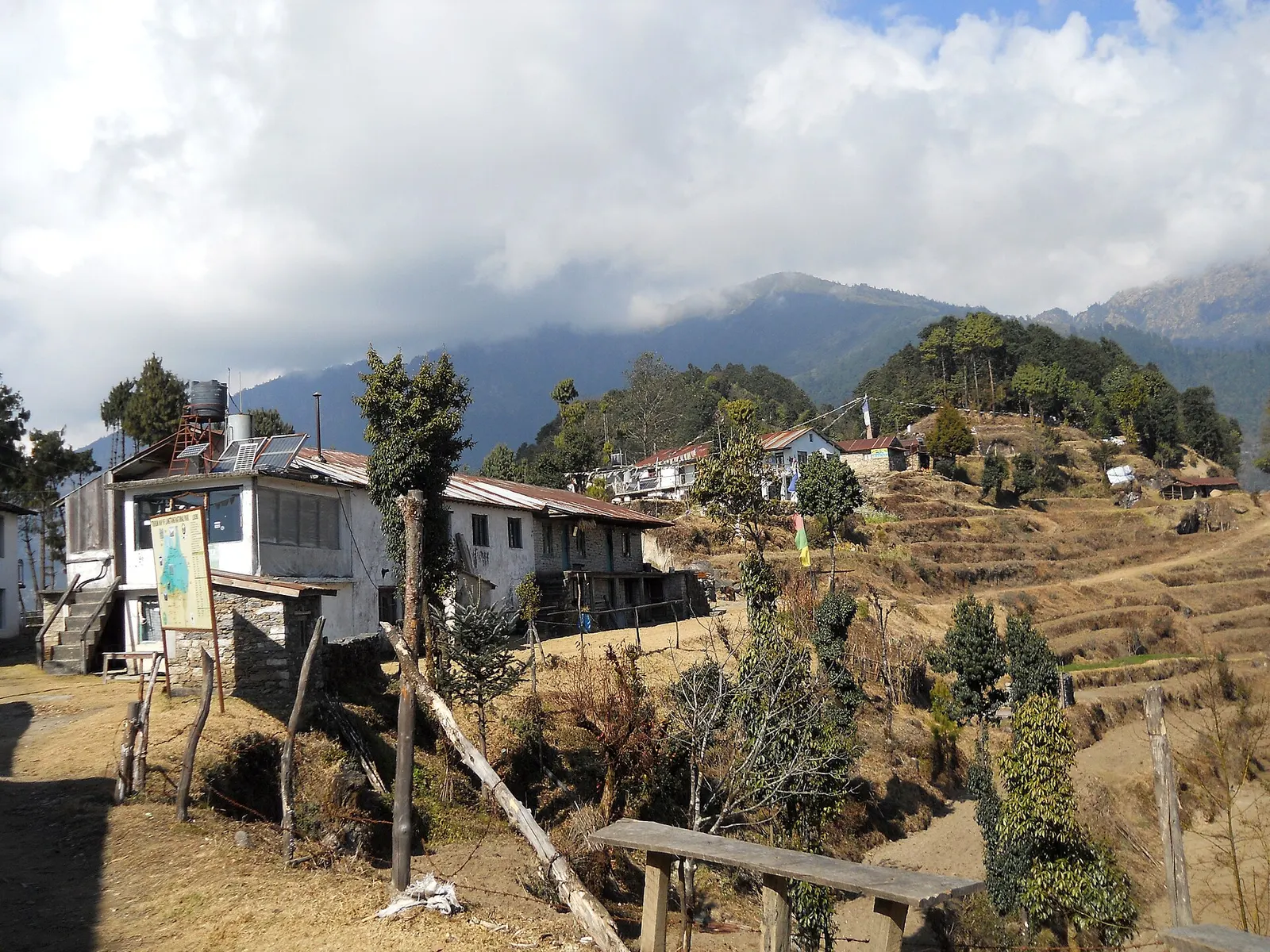
A Hyolmo village with a gompa below Tharepati on the Helambu trek.

Plan a trip here
Altitude
2,590 m*
Best months
Mar-Apr, Oct-Dec
Type
Trek stop
District
Sindhupalchok, Bagmati
Permit
Permit required

Why go

Melamchi Gaon, also called Melamchi Ghyang, is a Hyolmo village on the slopes above the upper Melamchi Khola, reached by a steep descent from Tharepati. Its houses spread across terraced fields around a gompa, and it is the usual overnight stop after the high ridge on the Helambu trek.

This is not Melamchi Bazaar, the road town far down the valley where many treks end. From Melamchi Gaon the trail drops to the river and climbs the far side of the valley to Tarkeghyang, the next large Hyolmo village.

History and culture

The Hyolmo people of Helambu follow Tibetan Buddhism, and each village has its gompa, called ghyang locally, which is why several village names end in ghyang. Hyolmo communities speak the Yolmo language, a Tibetic language. Farming of potatoes, barley and apples, and herding, go alongside trekking.

Things to do in Melamchi Gaon

  • Visit the gompa

    Ask before entering, remove shoes and walk clockwise.

  • Cross to Tarkeghyang

    Down to the Melamchi Khola and up the other side, about 5-6 hours.

Weather and the best time to visit Melamchi Gaon

Weather in Melamchi Gaon

Forecast for 2,590 m. Conditions change fast in the mountains.

Weather data: MET Norway, licensed CC BY 4.0. A forecast, not a guarantee.

Best time to visit

Mar-Apr, Oct-Dec

  1. Jan
  2. Feb
  3. Good month: Mar
  4. Good month: Apr
  5. May
  6. Jun
  7. Jul
  8. Aug
  9. Sep
  10. Good month: Oct
  11. Good month: Nov
  12. Good month: Dec
Autumn (Sep-Nov)
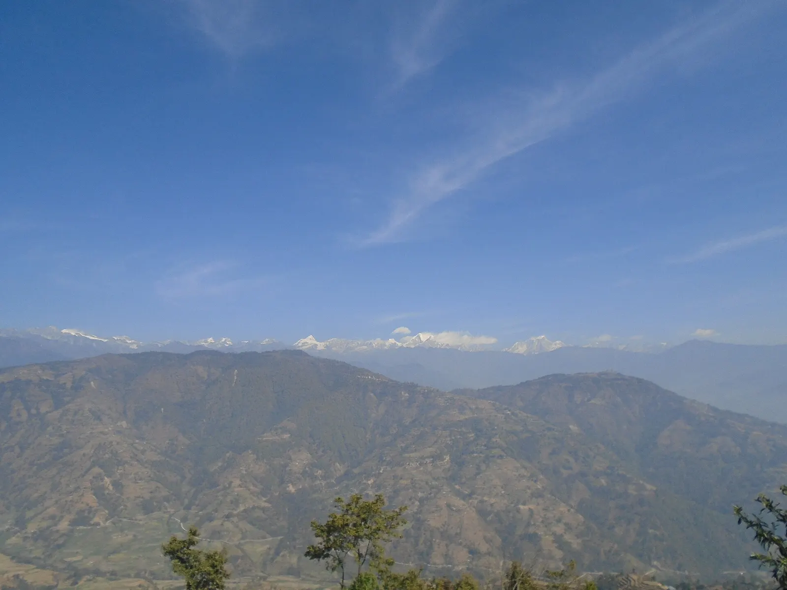
October and November are clear and dry, with mountain views from the ridges.
Winter (Dec-Feb)
December to February is cold but often clear; snow can cover the higher ridge around Tharepati.
Spring (Mar-May)
March and April bring rhododendron flowers in the forests; haze increases by May.
Monsoon (Jun-Aug)
June to August is wet, with leeches in the forest and slippery trails.

Where to stay

TeahousesHomestays

A few lodges and homestays.

No partner stays are listed here yet. List a property.

Getting there

On foot from Tharepati in about 3-4 hours, or from Tarkeghyang across the valley in about 5-6 hours.

Nearest hub: Kathmandu

  • trekTharepati to Melamchi Gaon, a steep descent of about 1,000 m in 3-4 hours.
  • trekTarkeghyang to Melamchi Gaon via the Melamchi Khola, about 5-6 hours.

Getting to Melamchi Gaon, by mode

Nearest hub: Kathmandu. Times are typical ranges, not schedules, and vary with roadworks, weather and the season.

  • On footfrom Tharepatiabout 3-4 hAbout 3-4 h from Tharepati, descending roughly 1,000 m

    On foot from Tharepati, a steep descent of about 1,000 m, or across the valley from Tarkeghyang in about 5 to 6 hours.

    When to set off: A downhill morning; the forest trail is steep and slippery after rain, so allow more time in the monsoon.

    Helambu (Wikipedia)

Where people go next

  • Tarkeghyangon foot, about 5-6 hAcross the Melamchi Khola to the main Hyolmo village.
  • Tharepation foot, about 4-6 hBack up to the ridge.
  • Helambuon footMelamchi Gaon is a Hyolmo village stop on the Helambu trek.
Mount Everest 8,848.86Kangchenjunga 8,586Dhaulagiri I 8,167Manaslu 8,163Annapurna I 8,091Melamchi GaonKathmandu
Boundary: Government of Nepal, Survey Department (2020). Peak data: Wikidata.

Permits and fees

Permit required

The Helambu trek crosses Shivapuri Nagarjun National Park near Sundarijal and Langtang National Park on the higher ridge; both charge entry. The route is on the Nepal Tourism Board's list of treks requiring a licensed guide and an agency-issued TIMS card.

  • Shivapuri Nagarjun National Park entry permit: For the Sundarijal to Chisapani section; paid at the park gate or in Kathmandu.
  • Langtang National Park entry permit: For the higher Helambu trail including Tharepati; check which villages fall inside the park.
  • TIMS card: Issued through a registered trekking agency; check the current requirement.

Verify before travel: permit rules and fees change. Checked 2026-10-06 against Nepal Tourism Board: Park entry fees.

On the trail

On the Helambu Trek.

Previous stop:
Tharepati
Next stop:
Tarkeghyang
A typical day:
About 3-4 hours from Tharepati, descending roughly 1,000 m on a steep forest trail.

Risks and conditions

Seasonal risks around Melamchi Gaon

What this place is typically exposed to, and when. These are seasonal patterns, not a report on conditions now.

  • Landslidesmoderate in a typical yearJun-Sep

    Steep forested hillsides on these ridges shed small slides and washed-out trail sections during monsoon rain; rocky trails stay slippery after rain or frost.

    Langtang National Park (Wikivoyage)

  • Floodingmoderate in a typical yearJun-Sep

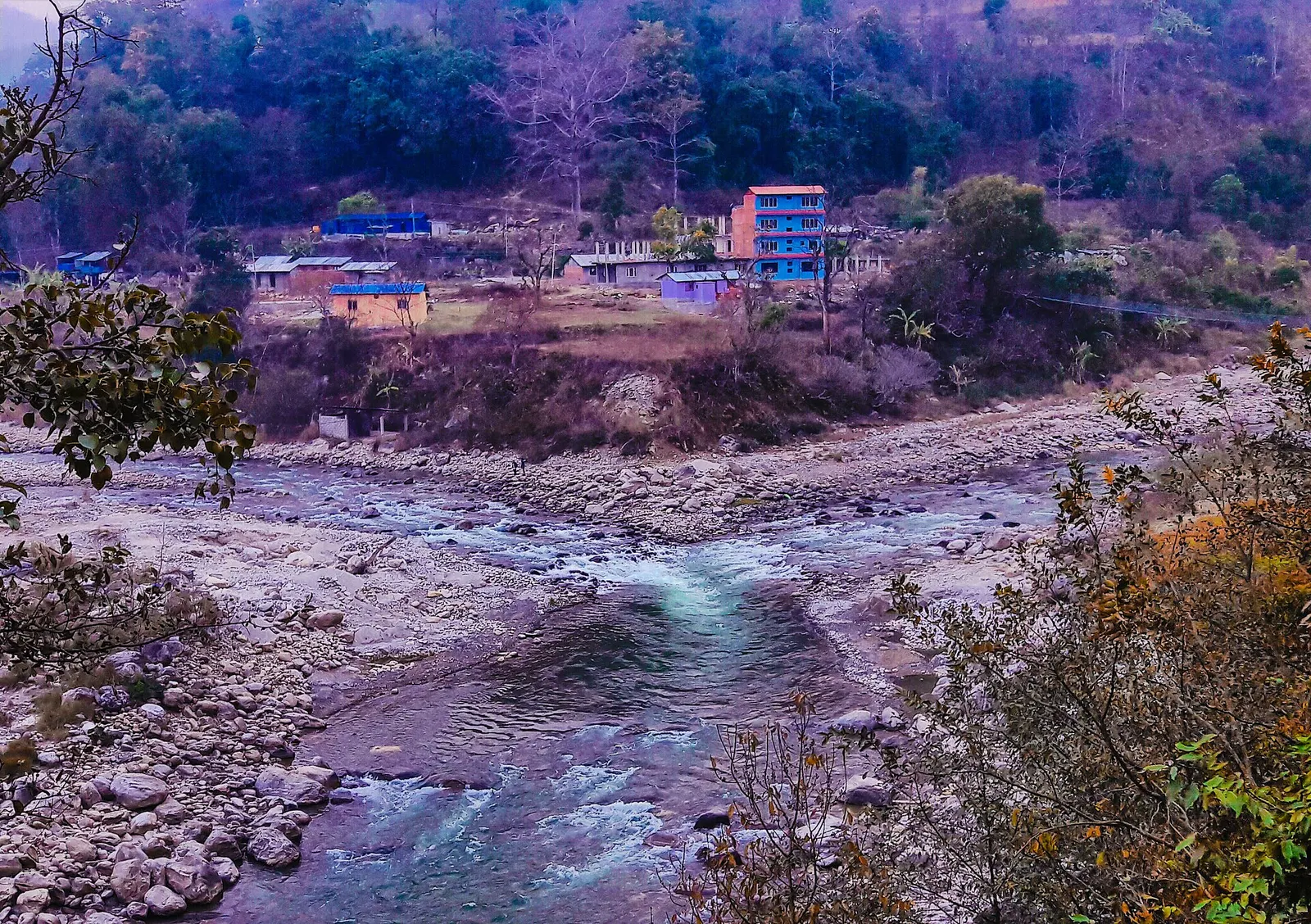
    The Melamchi river carries a documented monsoon flash-flood and debris-flow risk: in June and July 2021 long monsoon rain loosened material upstream, the river was dammed and the breach swept away homes, roads and bridges in the valley.

    2021 Melamchi flood (Wikipedia)

  • Othermoderate in a typical yearJun-Sep

    From June to August the forest trails are slippery after rain, leeches are common and the mountains are usually hidden by cloud.

    Langtang National Park (Wikivoyage)

  • Snowmoderate in a typical yearJan-Mar

    The upper part of the Helambu ridge, around Tharepati, takes snow in late winter and early spring, which can make the high traverse slow or impractical.

    Helambu (Wikipedia)

  • Coldmoderate in a typical yearDec-Feb

    December to February nights are near or below freezing at these altitudes and lodges are lightly heated; bring a warm sleeping bag and down layers.

    Langtang National Park (Wikivoyage)

Check current conditions before you travel

Roads, trails, passes and flights change with the weather and with roadworks, and nothing on this page describes conditions today. Before you set off, check the Department of Hydrology and Meteorology for weather and flood warnings, the Nepal Disaster Risk Reduction Portal for incidents, and the local authority, police or your licensed operator for road, trail and flight status.

Practical tips

  • Mobile signal is patchy.
  • Walk clockwise around the gompa and chortens.
  • Knees take a beating on the descent from Tharepati; trekking poles help.

Treks through Melamchi Gaon

Houses and lodges of Kutumsang on a terraced ridge with pine trees and forested hills behind.

A short trek that starts on the edge of Kathmandu at Sundarijal and follows forested ridges to Tharepati (about 3,650 m), then visits the Hyolmo villages of Melamchi Gaon, Tarkeghyang and Sermathang before a drive back.

Days
7 days
Maximum altitude
3,650 m
Difficulty
Moderate

Questions about Melamchi Gaon

Is Melamchi Gaon the same as Melamchi Bazaar?

No. Melamchi Gaon is a Hyolmo village high in Helambu; Melamchi Bazaar is the road town far down the valley.

How long from Tharepati to Melamchi Gaon?

About 3-4 hours of steep descent.

What is a ghyang?

The local word for a gompa, or Buddhist temple, used in many Helambu village names.

More in Helambu

All of Helambu

Trek stop · 2,215 m

Chisapani

A ridge-top lodge village above Kathmandu, the first night of the Helambu trek.

Trek stop · 2,470 m

Kutumsang

A ridge village on the Helambu trek, a day below the high point at Tharepati.

Trek stop · 2,625 m

Sermathang

A Hyolmo village at the southern end of the Helambu trek, linked by road to Melamchi.

Trek stop · 2,600 m

Tarkeghyang

The largest Hyolmo village in Helambu, with closely built stone houses and a gompa.

Trek stop · 3,650 m

Tharepati

A high ridge stop at about 3,650 m where the Helambu and Gosaikunda trails meet.

Nearby

Forested Helambu ridges with the Jugal Himal behind, seen from Bhotechaur.

Valley or region

Helambu

Hyolmo villages, monasteries and apple orchards in the hills north-east of Kathmandu, on a trek that can start from the city's edge.

The meeting point of the Melamchi and Indrawati rivers at Melamchi.

Town or village · 845 m

Melamchi

A river-junction market town in Sindhupalchok and the road gateway to Helambu, rebuilt after the 2021 floods.

Editorial draft: facts are being checked against the sources below. Last checked 2026-10-06. Sources: Helambu, Wikipedia, OpenStreetMap: Melamchi Ghyang gompa, Nepal Tourism Board: Park entry fees