

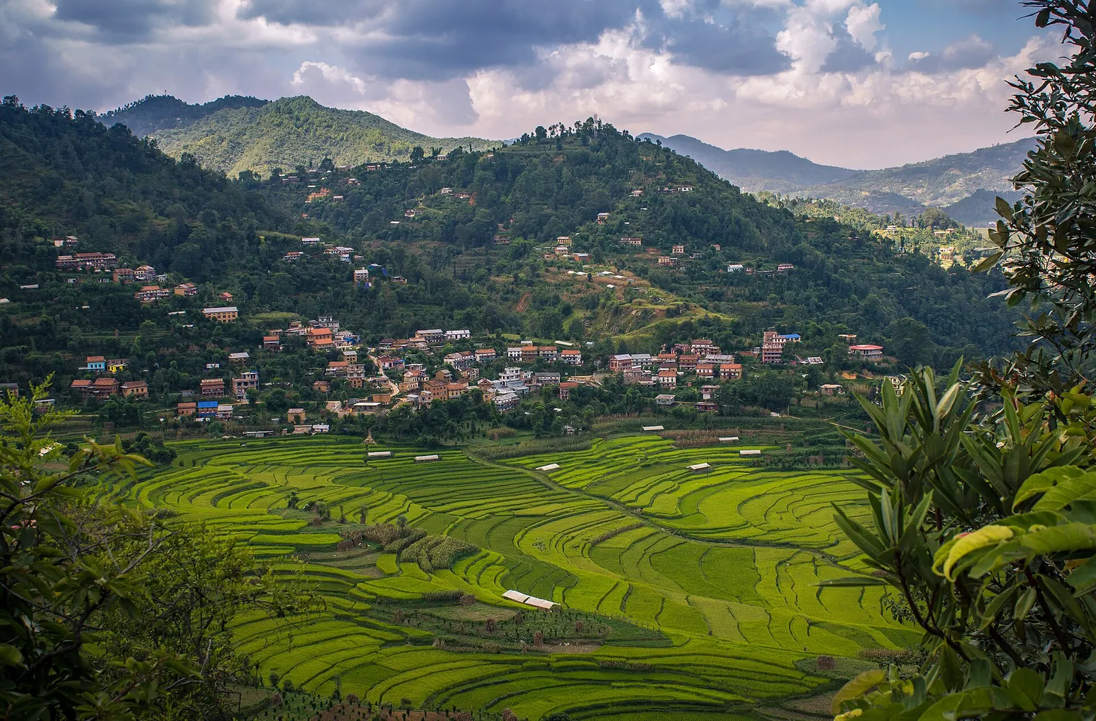
Town or village · 1,730 m
Balthali
A farming village on a ridge above Panauti and Khopasi, reached on foot or by rough road, with terraced fields and homestays.
Kathmandu Valleyधुलिखेल
A Newar hill town on the eastern rim of the Kathmandu Valley, with a wide Himalayan skyline and walking trails to Namo Buddha and Panauti.
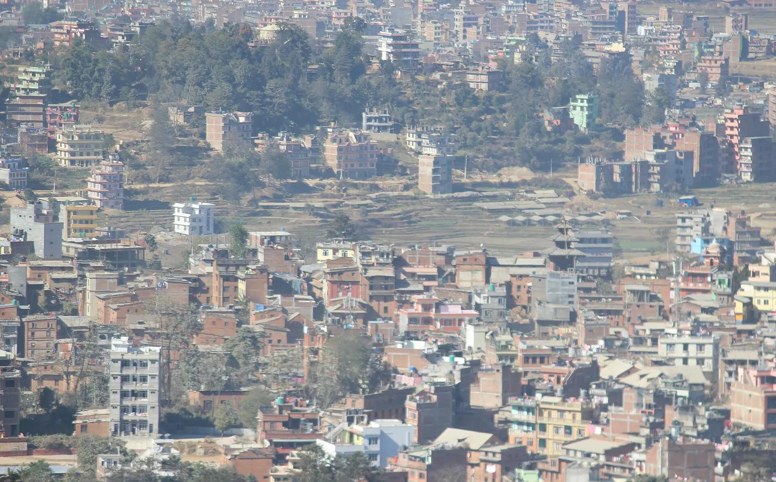
Dhulikhel is the headquarters of Kavrepalanchok District, about 30 km east of Kathmandu where the Araniko Highway to the Tibet border and the B.P. Highway to the eastern Terai part ways. It sits at roughly 1,550 m on a ridge just outside the valley rim, so on clear mornings the northern horizon opens into a long line of snow peaks, from the Annapurna and Ganesh Himal massifs in the west across Langtang, Dorje Lakpa and Gaurishankar towards the Everest group in the east.
Most visitors come for that view, for cooler air than Kathmandu, and for an easy base for day walks. The old southern quarter keeps brick Newar houses with carved wooden windows, small squares and temples, while newer hotels and the Kathmandu University campus spread along the highway. A short climb leads to the Kali temple viewpoint above town.
Dhulikhel is the hub for two places covered on their own pages: Namo Buddha, the Buddhist pilgrimage hill with its stupa and Thrangu Tashi Yangtse Monastery about 3 to 5 hours' walk to the south-east, and Balthali, a quiet farming village on a ridge above Panauti and Khopasi known for homestays and terraced fields. Panauti, a historic Newar town, is close enough to link with both in a two or three day walk.
Town or village · 1,730 m
A farming village on a ridge above Panauti and Khopasi, reached on foot or by rough road, with terraced fields and homestays.
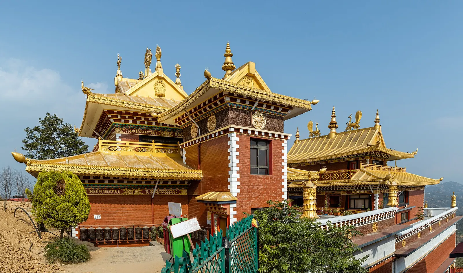
Temple, monastery or heritage site · 1,750 m
A hilltop stupa and Tibetan Buddhist monastery south-east of Dhulikhel, tied to the story of a prince who gave his body to a starving tigress.
The Newar name Dhaukhyo is usually explained as 'yogurt field', and local tradition links the town to an older Licchavi-era name. Dhulikhel marked the eastern edge of the old Nepal Mandala and belonged to the Bhaktapur kingdom before it was taken into the expanding Gorkha state under Prithvi Narayan Shah in the 18th century. For centuries it was an overnight stop for traders walking between Kathmandu and Tibet, and its role changed again after the road to the Tibet border opened in the 1960s.
The core of the old town is laid out in four traditional toles. The Narayan (Krishna) temple with its metal roof and the Harisiddhi temple stand side by side in the centre, fronted by Garuda figures, and the Bhagwati temple sits on the high western edge of town. Today the municipality is mixed: Newar families in the old core, with Brahmin, Chhetri, Tamang and other communities in the surrounding wards. Hindu and Buddhist festivals run through the year, with Krishna Janmashtami in late summer especially visible in the old bazaar.
Walk the old town
Wander the brick lanes of the southern quarter past the Narayan and Harisiddhi temples, water spouts and small shrines; allow an hour or two.
Sunrise from the Kali temple
Climb the stairs and dirt path above town before dawn for the widest mountain view; the walk takes roughly 30-45 minutes from the centre.
Hike to Namo Buddha
A signed trail through villages, terraces and pine forest reaches Namo Buddha in about 3-5 hours; many people continue down to Panauti or return by bus or taxi.
Village circuit
Combine Namo Buddha, Balthali and Panauti over two or three days, staying in homestays or small guesthouses.
Forecast for 1,550 m. Conditions change fast in the mountains.
Weather data: MET Norway, licensed CC BY 4.0. A forecast, not a guarantee.
Feb-Apr, Oct-Dec
Hotels and resorts line the ridge with mountain-facing rooms; simpler guesthouses are near the bus park and old town, and homestays are found in surrounding villages.
No partner stays are listed here yet. List a property.
Dhulikhel is about 30-35 km east of central Kathmandu on the Araniko Highway, normally 1-2 hours by road depending on traffic through Bhaktapur and Banepa.
Nearest hub: Kathmandu
Nearest hub: Kathmandu. Times are typical ranges, not schedules, and vary with roadworks, weather and the season.
By busfrom Kathmanduabout 1.5-2.5 hLocal buses
Buses from the Ratna Park station take about two hours via Bhaktapur and Banepa and cost little; they drop on the highway below the old town.
When to set off: leave Kathmandu before 08:00 to avoid the slowest hours through Bhaktapur and Banepa
By car or jeepfrom Kathmanduabout 1-2 h
About 30 to 35 km east on the Araniko Highway, roughly an hour to an hour and a half outside the busiest times.
Road: Sealed highway throughout, congested through Bhaktapur and Banepa and slow in heavy rain.
By motorbikefrom Kathmanduabout 1-1.75 hEasy riding
An easy highway ride; the rural lanes on to Namo Buddha and Balthali are rough and steep.
Road: Sealed highway to town; rough rural roads beyond towards Namo Buddha and Balthali.
On footfrom Nagarkotabout 4-7 h4-7 h from Nagarkot along the valley rim
The Kathmandu Valley Cultural Trekking Trail runs along the rim from Nagarkot to Dhulikhel.
When to set off: start by 07:30 for the rim stage from Nagarkot
None needed
No permit or entry fee is needed to visit Dhulikhel town. Individual temples or monasteries nearby may ask for donations.
Verify before travel: permit rules and fees change. Checked 2026-10-06 against Dhulikhel (Wikivoyage).
What this place is typically exposed to, and when. These are seasonal patterns, not a report on conditions now.
Landslidesmoderate in a typical yearJun-Sep
Dhulikhel sits on the Araniko Highway, a road known for landslides and slope failures after rain, and the hill sections east of the town are worst affected from June to September.
Road blockagesmoderate in a typical yearJun-Sep
Monsoon slips typically block or narrow stretches of the Araniko Highway, and the rural roads out to Namo Buddha and Balthali can be impassable to cars after heavy rain.
Othermoderate in a typical yearJun-Sep
From June to August the mountain views are usually lost in cloud and the village trails along the rim are muddy and leech-ridden.
Othermoderate in a typical yearDec-Apr
Dry-season dust and haze are a normal feature of the Kathmandu valley, where measured PM2.5 has run several times the WHO guideline level. Visitors prone to asthma usually do better on early mornings and after rain.
Coldlow in a typical yearDec-Feb
At about 1,550 m December to February mornings are cold on the ridge, with fog lying in the valleys below, and rooms are often unheated.
Check current conditions before you travel
Roads, trails, passes and flights change with the weather and with roadworks, and nothing on this page describes conditions today. Before you set off, check the Department of Hydrology and Meteorology for weather and flood warnings, the Nepal Disaster Risk Reduction Portal for incidents, and the local authority, police or your licensed operator for road, trail and flight status.
Take a local bus or taxi east along the Araniko Highway via Bhaktapur and Banepa. The 30-35 km trip usually takes 1-2 hours.
On very clear days the eastern end of the skyline reaches towards the Everest group, but the closer peaks such as Dorje Lakpa, Gaurishankar and the Langtang and Ganesh ranges dominate the view.
Most walkers take about 3-5 hours one way on village trails. You can return by road or continue downhill to Panauti.
Yes if you want the sunrise mountain view, which is usually clearest early in the morning. A day trip from Kathmandu often misses it.
Temple, monastery or heritage site · 1,750 m
A hilltop stupa and Tibetan Buddhist monastery south-east of Dhulikhel, tied to the story of a prince who gave his body to a starving tigress.
Town or village · 1,730 m
A farming village on a ridge above Panauti and Khopasi, reached on foot or by rough road, with terraced fields and homestays.
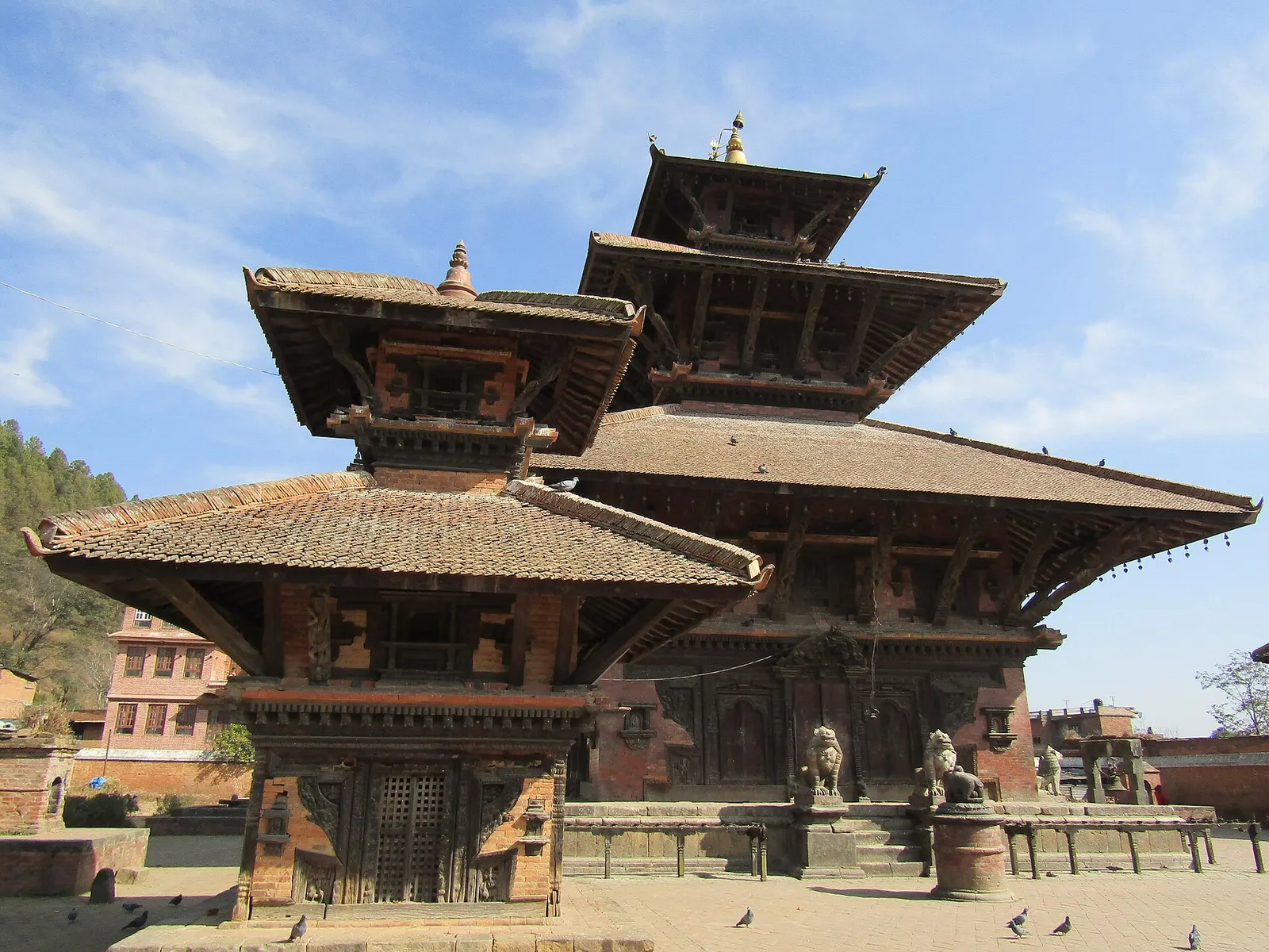
Town or village · 1,442 m
A small medieval Newar town at a river confluence south-east of the Kathmandu Valley, with old temples, quiet lanes and community homestays.
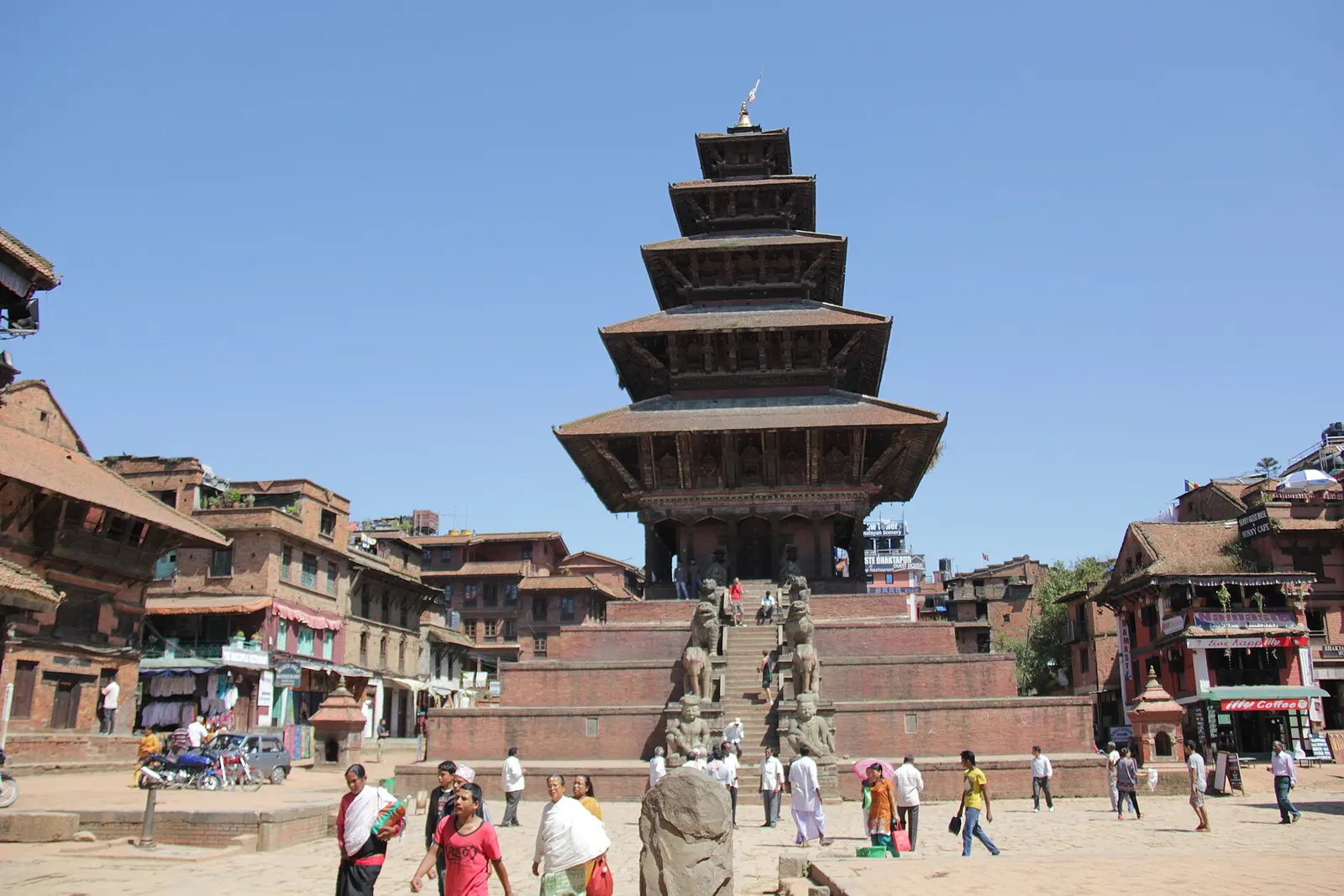
Town or village · 1,401 m
A medieval Newar city in the east of the Kathmandu Valley, known for its temple squares, pottery, woodcarving and festivals.