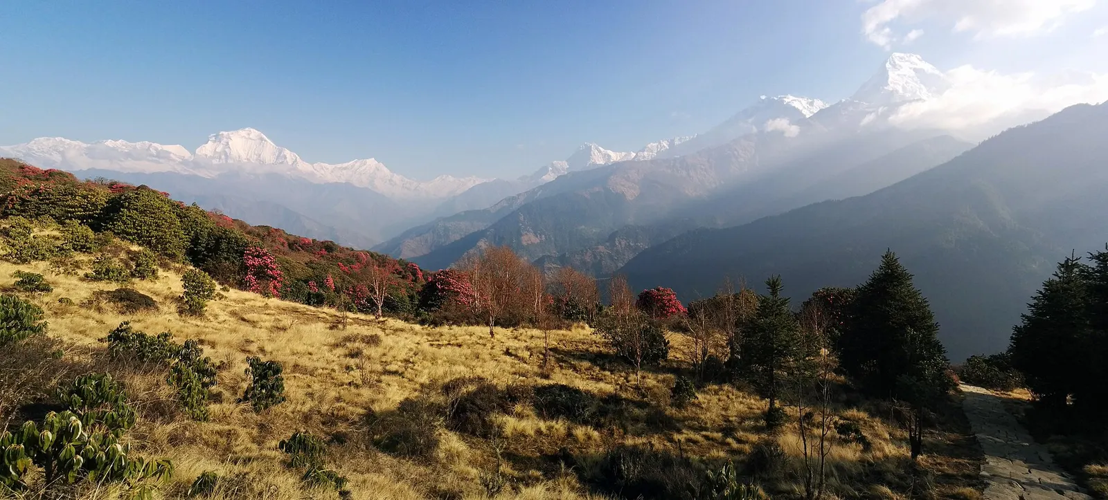
A short teahouse loop from Pokhara through Magar and Gurung villages and rhododendron forest to Ghorepani and the Poon Hill viewpoint (3,210 m), returning via Tadapani and Ghandruk.
- Days
- 4 days
- Maximum altitude
- 3,210 m
- Difficulty
- Easy
Annapurna Regionउल्लेरी
A Magar village at the top of the long stone staircase from Tikhedhunga, on the main trail to Ghorepani and Poon Hill.
The Magar village on the Ghorepani trail above Tikhedhunga in Kaski, not the Ulleri neighbourhood in Rupa Rural Municipality east of Pokhara.
Ulleri spreads along a ridge at about 2,010 m on the trail from the Bhurungdi Khola valley to Ghorepani. It is known among trekkers for the staircase of several thousand stone steps that climbs to it from Tikhedhunga, about 500 m below.
The village has views east to Annapurna South and Hiunchuli and makes a good first night on the Poon Hill trek, splitting the climb to Ghorepani into two shorter days. A jeep road now reaches Ulleri, so some trekkers drive up and start walking here.
Above Ulleri the trail continues through Banthanti and Nangethanti into rhododendron and oak forest towards Ghorepani.
Ulleri is a Magar village, many of its families of the Pun clan, with a long tradition of service in the Gurkha regiments. A small museum of Pun Magar culture is mapped in the village. Terraced fields of millet, maize and potatoes still surround the houses and lodges.
Evening views
Annapurna South and Hiunchuli are often clear in the late afternoon from the upper village.
Village walk
Walk through the lanes between stone houses and terraced fields.
Forecast for 2,010 m. Conditions change fast in the mountains.
Weather data: MET Norway, licensed CC BY 4.0. A forecast, not a guarantee.
Mar-Apr, Oct-Dec
Several trekking lodges along the trail through the village.
No partner stays are listed here yet. List a property.
Ulleri is on the trail from Nayapul to Ghorepani; jeeps now reach the village.
Nearest hub: Pokhara
Permit required
Ulleri is inside the Annapurna Conservation Area; an ACAP permit is required and is checked at Birethanti or on the trail.
Verify before travel: permit rules and fees change. Checked 2026-10-06 against National Trust for Nature Conservation (Annapurna Conservation Area Project, e-permit links).
On the Ghorepani Poon Hill trek, Khopra Danda trek.
A short teahouse loop from Pokhara through Magar and Gurung villages and rhododendron forest to Ghorepani and the Poon Hill viewpoint (3,210 m), returning via Tadapani and Ghandruk.
Figures of 3,000 to over 3,500 steps are quoted; the climb from Tikhedhunga gains about 500 m.
Yes, jeeps reach Ulleri, though the road is rough and conditions vary with the season.
Yes, an ACAP permit; check the current TIMS and guide rules.
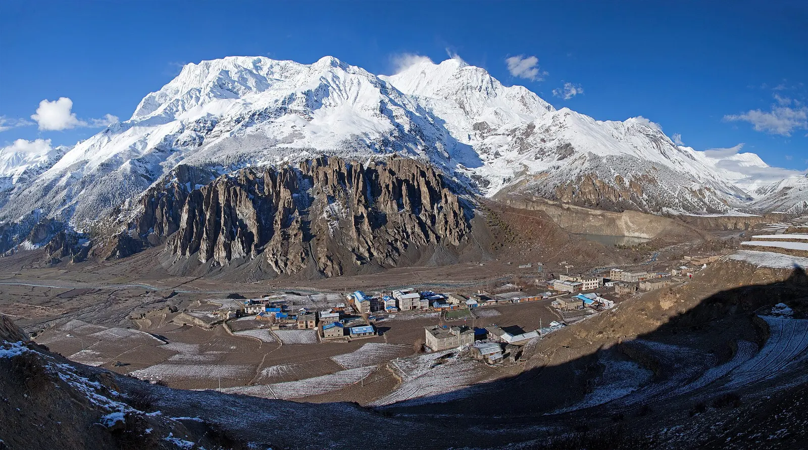
Town or village · 3,519 m
A high stone village in the upper Marsyangdi valley below Annapurna III and Gangapurna, where Circuit trekkers stop to acclimatise.
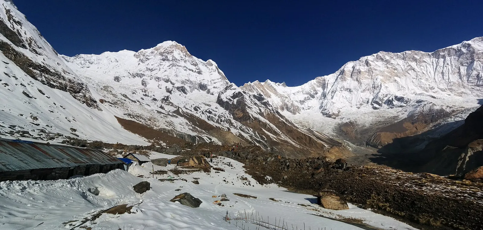
Trek stop · 4,130 m
Lodges at about 4,130 m in the glacial basin of the Annapurna Sanctuary, below the south face of Annapurna I.
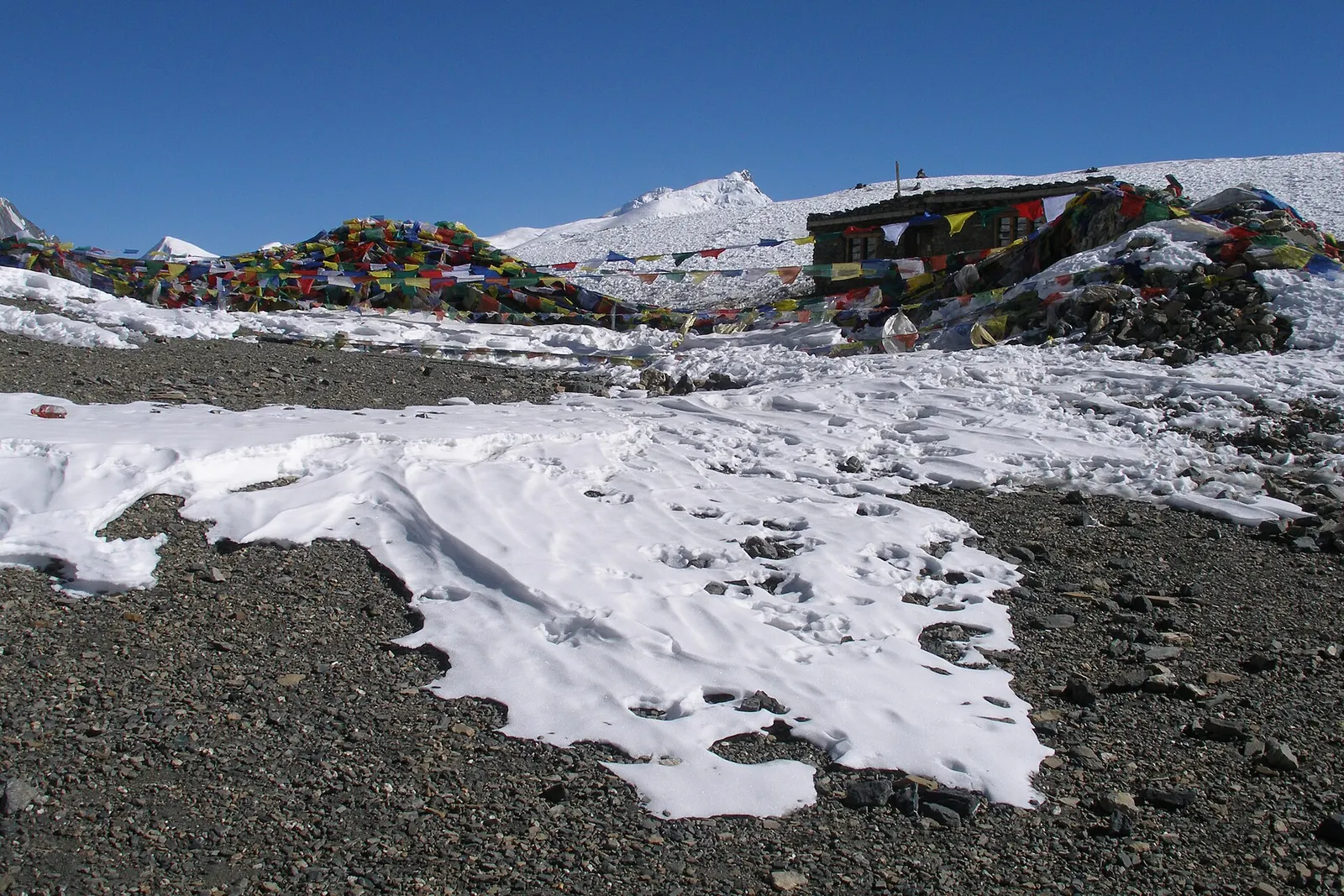
Mountain pass · 5,416 m
The 5,416 m pass between Manang and Muktinath, the high point of the Annapurna Circuit.
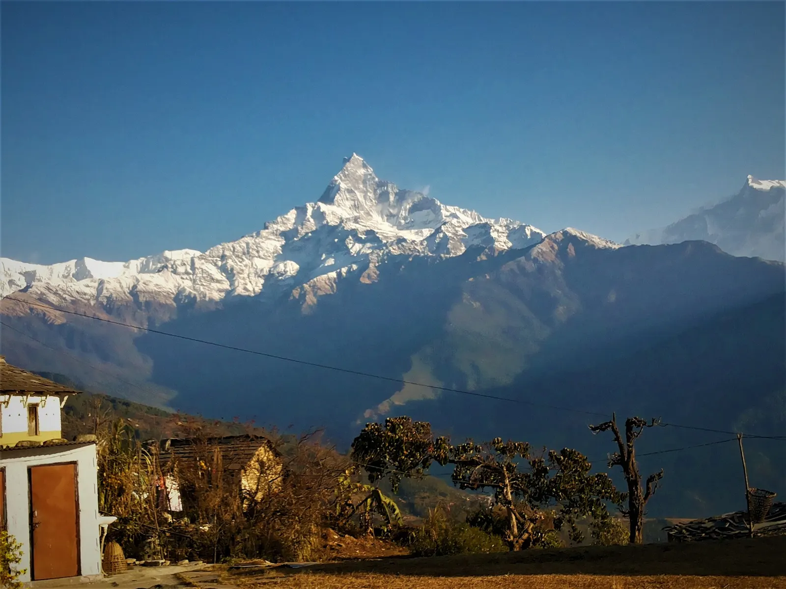
Trek stop · 2,060 m
A grassy clearing at about 2,060 m above Kande with a wide view of the Annapurna range and Machhapuchhre, an easy walk from the road.
Trek stop · 2,310 m
A group of lodges in the bamboo forest of the Modi Khola gorge, the first overnight stop above Chhomrong on the way to Annapurna Base Camp.
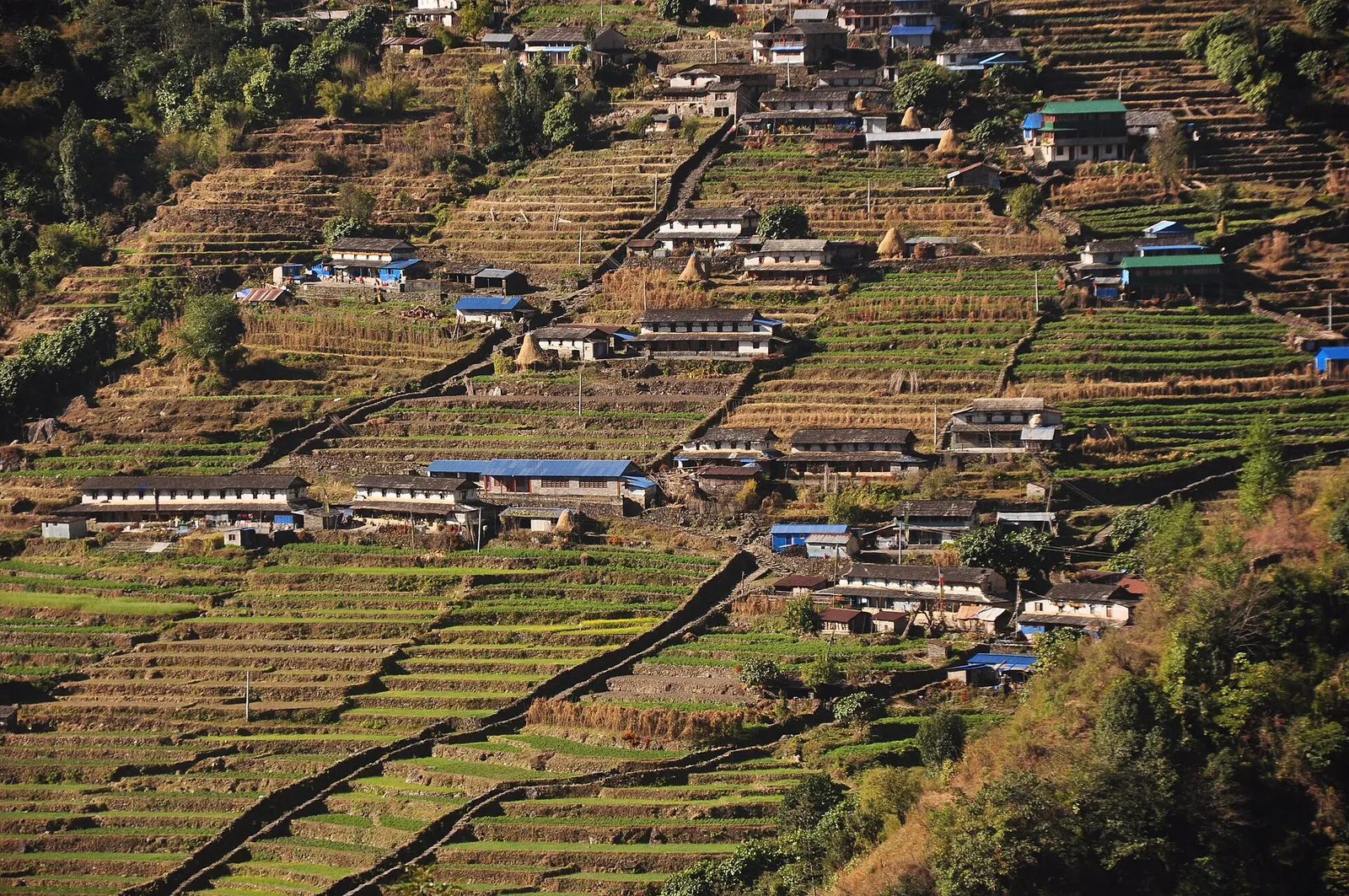
Trek stop · 2,170 m
The last permanent Gurung village before the Annapurna Sanctuary, built on a steep staircase facing Annapurna South and Machhapuchhre.
Trek stop · 3,200 m
The last lodges in the Modi Khola gorge before Machhapuchhre Base Camp, at about 3,200 m.
Trek stop · 1,650 m
A Gurung hill village above Phedi with views of Machhapuchhre and the Annapurnas, close to Pokhara.
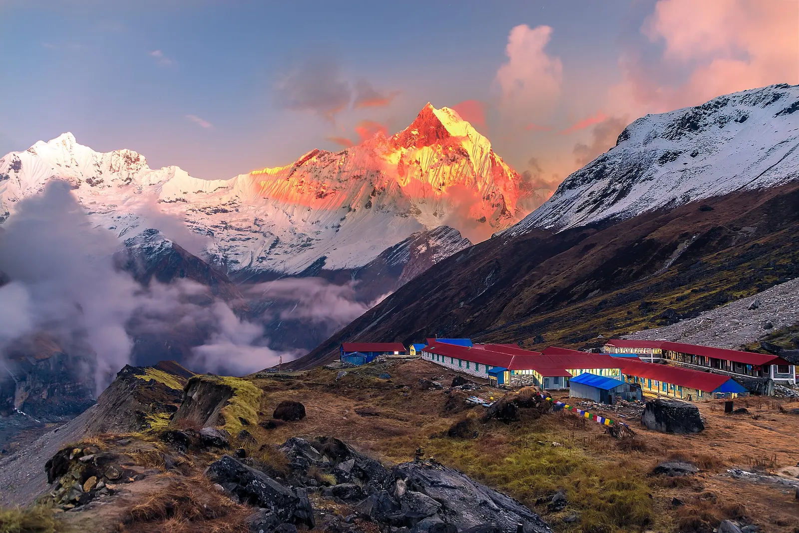
National park or conservation area
Nepal's largest protected area, from Gurung hill villages and rhododendron forest to the dry valleys behind the Annapurna range.