
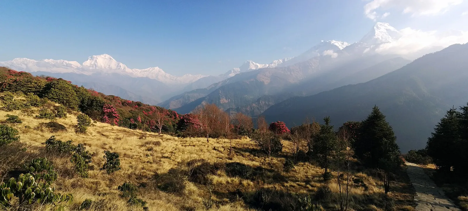
A short teahouse loop from Pokhara through Magar and Gurung villages and rhododendron forest to Ghorepani and the Poon Hill viewpoint (3,210 m), returning via Tadapani and Ghandruk.
- Days
- 4 days
- Maximum altitude
- 3,210 m
- Difficulty
- Easy
Annapurna Regionमोहरे डाँडा
A forested hilltop at about 3,300 m south-west of Ghorepani with a community lodge and views of Dhaulagiri and the Annapurnas.
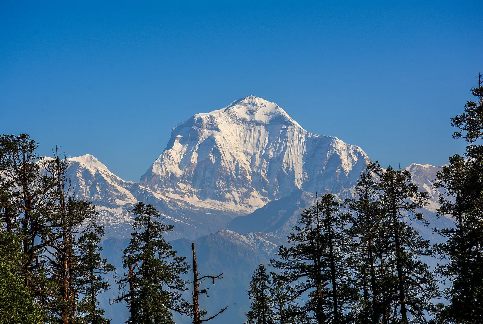
Mohare Danda is a hilltop at about 3,300 m on the ridge south-west of Ghorepani, on the border of Myagdi and Parbat districts. A cleared summit gives a panorama from Dhaulagiri across the Kali Gandaki gorge to Annapurna South, Machhapuchhre and, on clear days, Manaslu far to the east.
The hill is the high point of the Mohare Danda community trek, a 4-6 day route from the Beni side through Magar villages such as Banskharka and Nangi. Trails also connect Mohare Danda with Ghorepani and Poon Hill, so it can be combined with the Poon Hill or Khopra routes.
The trek was set up as a community-based eco-trek by Mahabir Pun, the Nangi-born teacher known for bringing wireless internet to remote Himalayan villages, with lodges and homestays owned by local communities and income going to village schools and services. Mohare Danda has been described as hosting a wireless relay station for that network. The villages along the route are mainly Magar.
Sunrise from the summit
Dhaulagiri and Annapurna South catch the first light; the lodge is a few minutes from the top.
Link to Ghorepani
A ridge trail connects to Ghorepani and Poon Hill in about 4-6 hours, depending on the route.
Forecast for 3,300 m. Conditions change fast in the mountains.
Weather data: MET Norway, licensed CC BY 4.0. A forecast, not a guarantee.
Mar-Apr, Oct-Nov
A community-run lodge on the hill; book through an agency or the community trek office.
No partner stays are listed here yet. List a property.
Mohare Danda is reached on foot, usually 2-3 days from road heads on the Beni side or via Ghorepani.
Nearest hub: Pokhara
Permit required
Sources disagree on whether the Mohare Danda route lies inside the Annapurna Conservation Area. Routes that link to Ghorepani, Poon Hill or Khopra enter it and need an ACAP permit.
Verify before travel: permit rules and fees change. Checked 2026-10-06 against National Trust for Nature Conservation (Annapurna Conservation Area Project, e-permit links).
On the Mohare Danda trek.
A short teahouse loop from Pokhara through Magar and Gurung villages and rhododendron forest to Ghorepani and the Poon Hill viewpoint (3,210 m), returning via Tadapani and Ghandruk.
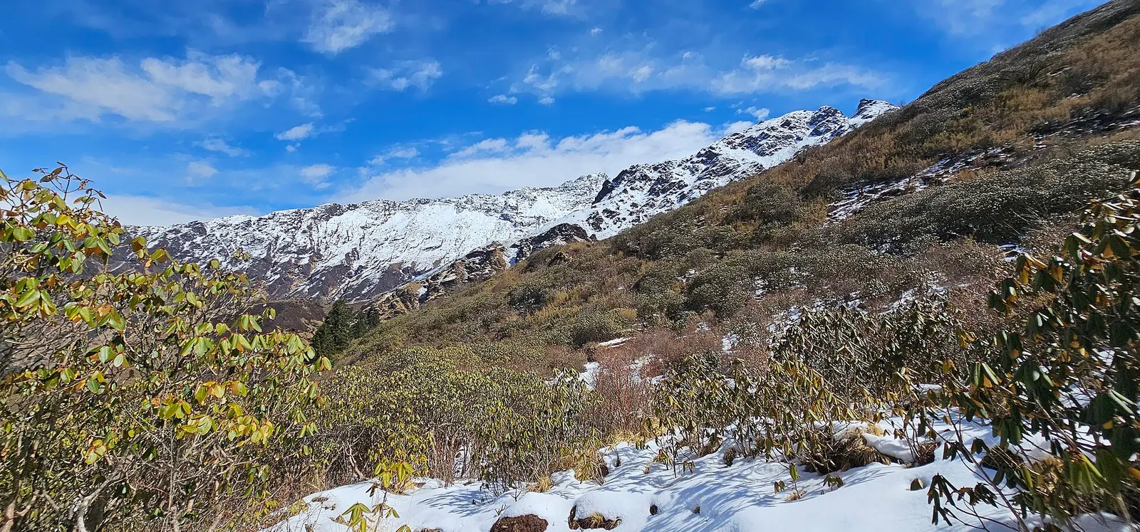
A quieter loop west of the Annapurna Sanctuary from Ghandruk via Tadapani, Dobato and Khopra Ridge (about 3,660 m) to Swanta, Ghorepani and Poon Hill, with an optional hike to Khayer Lake.
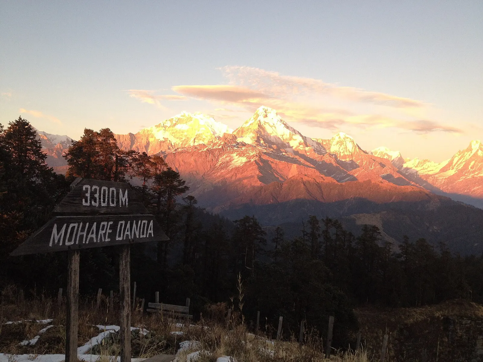
A short community-run trek from the Beni side through Magar villages to Mohare Danda (about 3,300 m), a hilltop with a community lodge facing Dhaulagiri and the Annapurnas.
About 3,300 m; the summit is mapped at 3,313 m.
Local communities, under a community eco-trek started by Mahabir Pun.
Yes, trails link Mohare Danda with Ghorepani and Poon Hill.
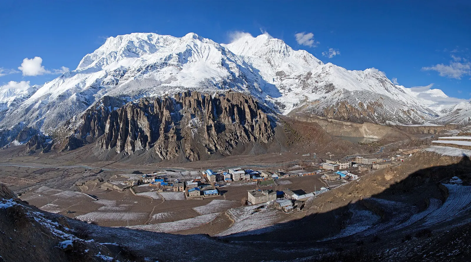
Town or village · 3,519 m
A high stone village in the upper Marsyangdi valley below Annapurna III and Gangapurna, where Circuit trekkers stop to acclimatise.
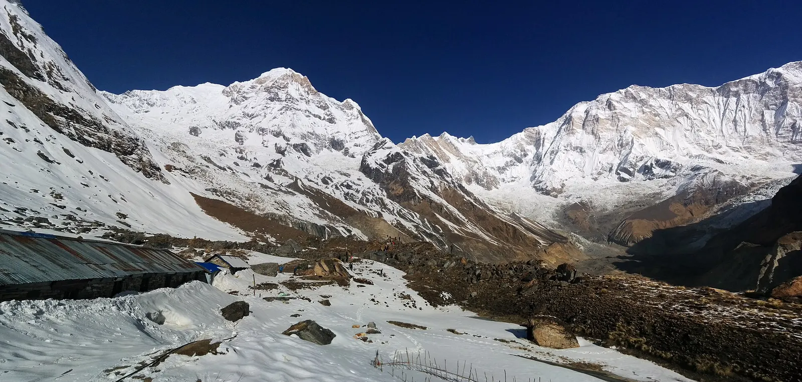
Trek stop · 4,130 m
Lodges at about 4,130 m in the glacial basin of the Annapurna Sanctuary, below the south face of Annapurna I.
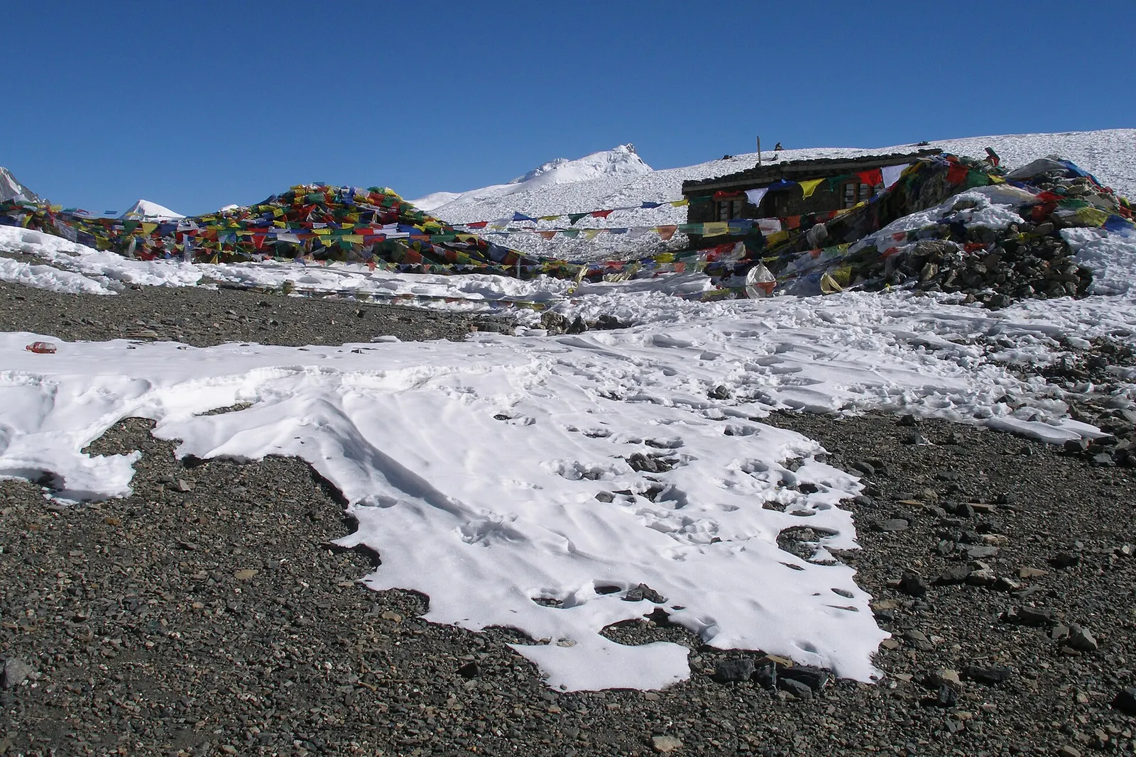
Mountain pass · 5,416 m
The 5,416 m pass between Manang and Muktinath, the high point of the Annapurna Circuit.
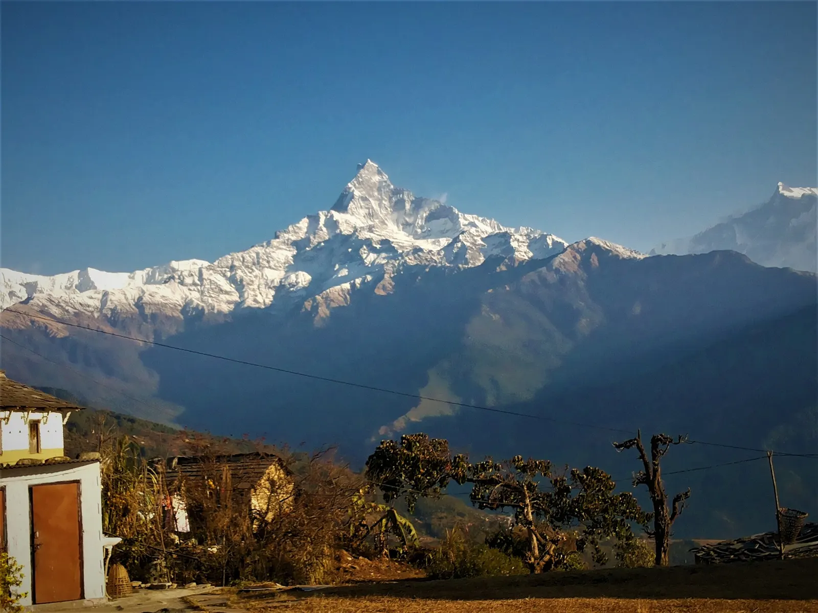
Trek stop · 2,060 m
A grassy clearing at about 2,060 m above Kande with a wide view of the Annapurna range and Machhapuchhre, an easy walk from the road.
Trek stop · 2,310 m
A group of lodges in the bamboo forest of the Modi Khola gorge, the first overnight stop above Chhomrong on the way to Annapurna Base Camp.
Trek stop · 2,170 m
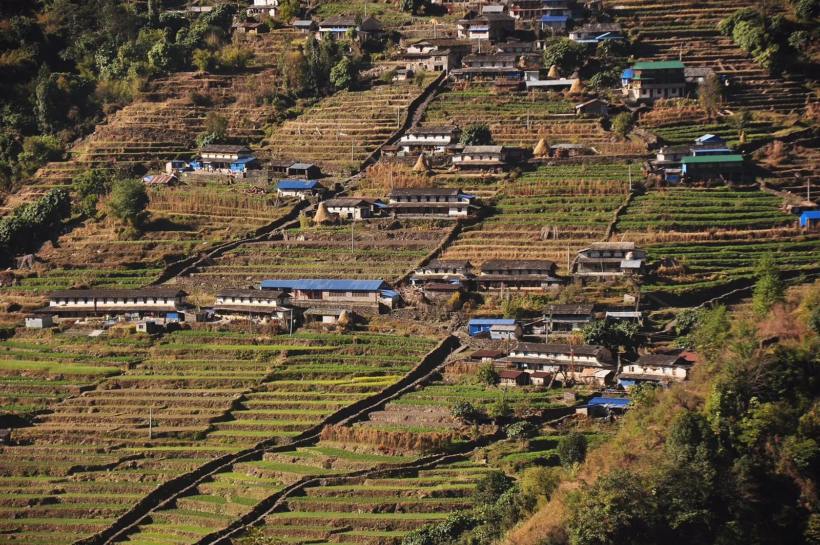
The last permanent Gurung village before the Annapurna Sanctuary, built on a steep staircase facing Annapurna South and Machhapuchhre.
Trek stop · 3,200 m
The last lodges in the Modi Khola gorge before Machhapuchhre Base Camp, at about 3,200 m.
Trek stop · 1,650 m
A Gurung hill village above Phedi with views of Machhapuchhre and the Annapurnas, close to Pokhara.
National park or conservation area
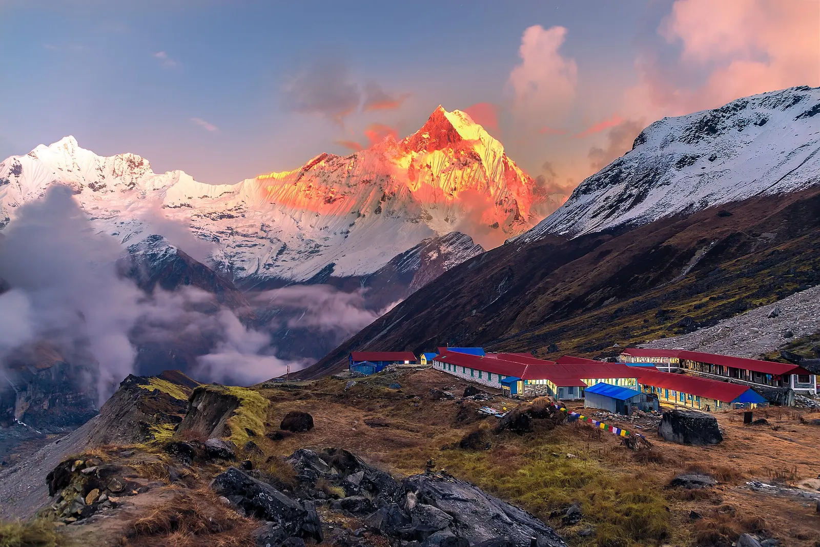
Nepal's largest protected area, from Gurung hill villages and rhododendron forest to the dry valleys behind the Annapurna range.