
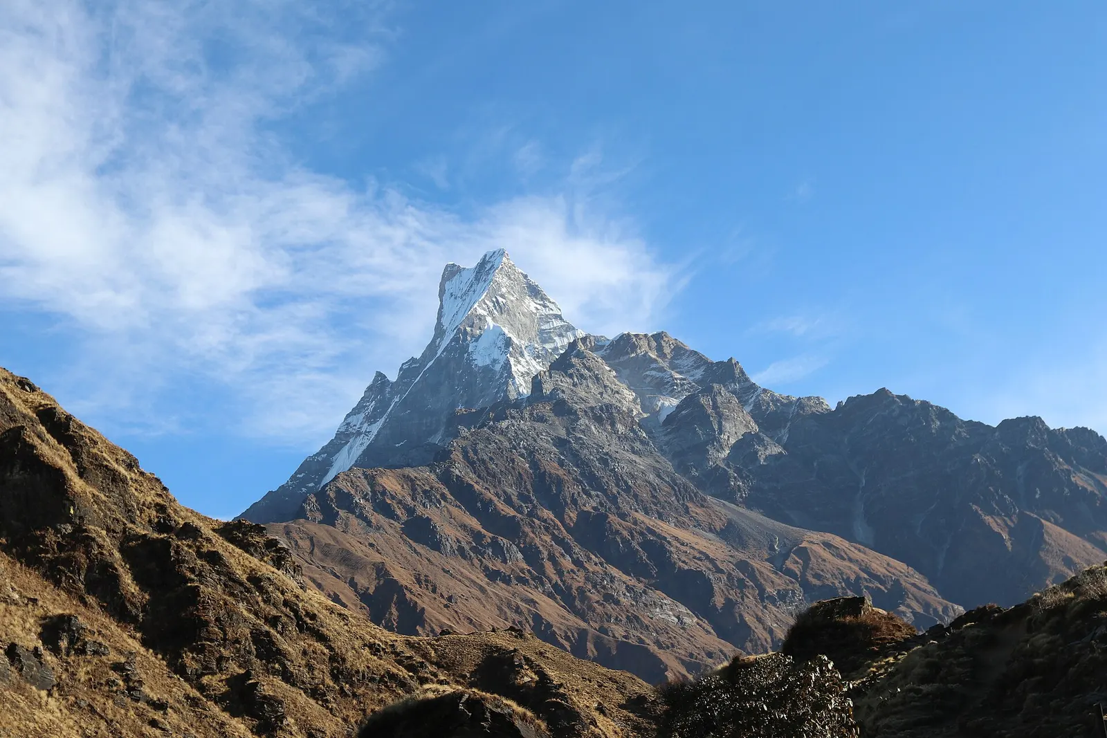
A ridge trek from Kande near Pokhara through rhododendron forest to the open crest below Machhapuchhre, with a day climb to Mardi Himal Base Camp at about 4,500 m.
- Days
- 6 days
- Maximum altitude
- 4,500 m
- Difficulty
- Moderate
Annapurna Regionफरेस्ट क्याम्प
A small cluster of lodges in rhododendron and oak forest, the usual first or second night on the Mardi Himal trek.
This is Forest Camp on the Mardi Himal trek in Kaski, the first lodge stop in the forest above Deurali, not other campsites called 'forest camp' on other Nepal treks.
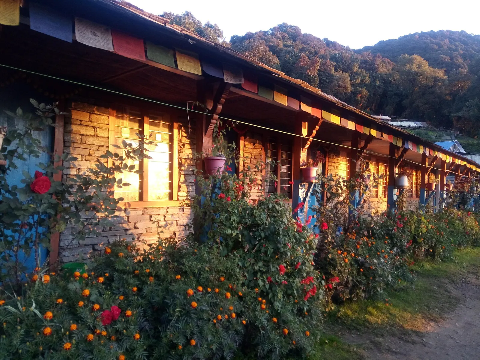
Forest Camp is the first overnight stop on the ridge section of the Mardi Himal trek in the Annapurna region, a short, steep trail that climbs from the Pokhara foothills to the viewpoints below Mardi Himal and Machhapuchhre. It lies at roughly 2,550 m in thick forest of rhododendron, oak and moss-draped trees, a few hours' walk above the Deurali junction on the Dhampus route.
There is no village here, only a handful of lodges and an open grassy area where some groups pitch tents. The big peaks are hidden by the trees and the ridge, but a clearing nearby looks south-west down the Modi Khola valley towards Ghandruk and Nayapul. In spring the surrounding forest is full of flowering rhododendrons, and birdlife is rich throughout the year.
From Forest Camp the trail continues up the ridge to Rest Camp, Low Camp, Badal Danda and High Camp, gaining height steadily towards the Mardi Himal viewpoint and base camp area at about 4,500 m.
The Mardi Himal route was officially opened to trekkers in 2012. Before that, the ridge was used mainly by herders and by occasional camping groups. Lodges at Forest Camp and the higher camps were built as the route grew popular, and a local committee now fixes menu prices across lodges at each stop. The trail lies within the Annapurna Conservation Area, managed by the Annapurna Conservation Area Project.
Forest walking and birdwatching
Look for pheasants and other forest birds in the early morning around the camp.
Acclimatise on the way up
Use Forest Camp as a lower first night before the climb to Low Camp and High Camp.
Forecast for 2,550 m. Conditions change fast in the mountains.
Weather data: MET Norway, licensed CC BY 4.0. A forecast, not a guarantee.
Mar-Apr, Oct-Nov
Three or so simple lodges and a grassy area used for camping; in peak season lodges may put up tents for overflow.
No partner stays are listed here yet. List a property.
Drive from Pokhara to Kande or Phedi and walk up via Australian Camp, Pothana and Deurali, or climb directly from Landruk.
Nearest hub: Pokhara
Permit required
The Mardi Himal trek is inside the Annapurna Conservation Area, so an ACAP permit is required.
Verify before travel: permit rules and fees change. Checked 2026-10-06 against Annapurna Conservation Area Project, NTNC.
On the Mardi Himal trek.
A ridge trek from Kande near Pokhara through rhododendron forest to the open crest below Machhapuchhre, with a day climb to Mardi Himal Base Camp at about 4,500 m.
About 2,520-2,600 m depending on the source; it is the lowest of the ridge camps.
Drive to Kande (45-75 minutes), walk to Deurali via Australian Camp and Pothana, then follow the ridge for 4-5 hours; many people reach it on the first or second day.
Not from the camp itself, which is in forest; views open up from Low Camp and Badal Danda onward.
Yes, an ACAP permit; check whether a TIMS card and a licensed guide are currently required.
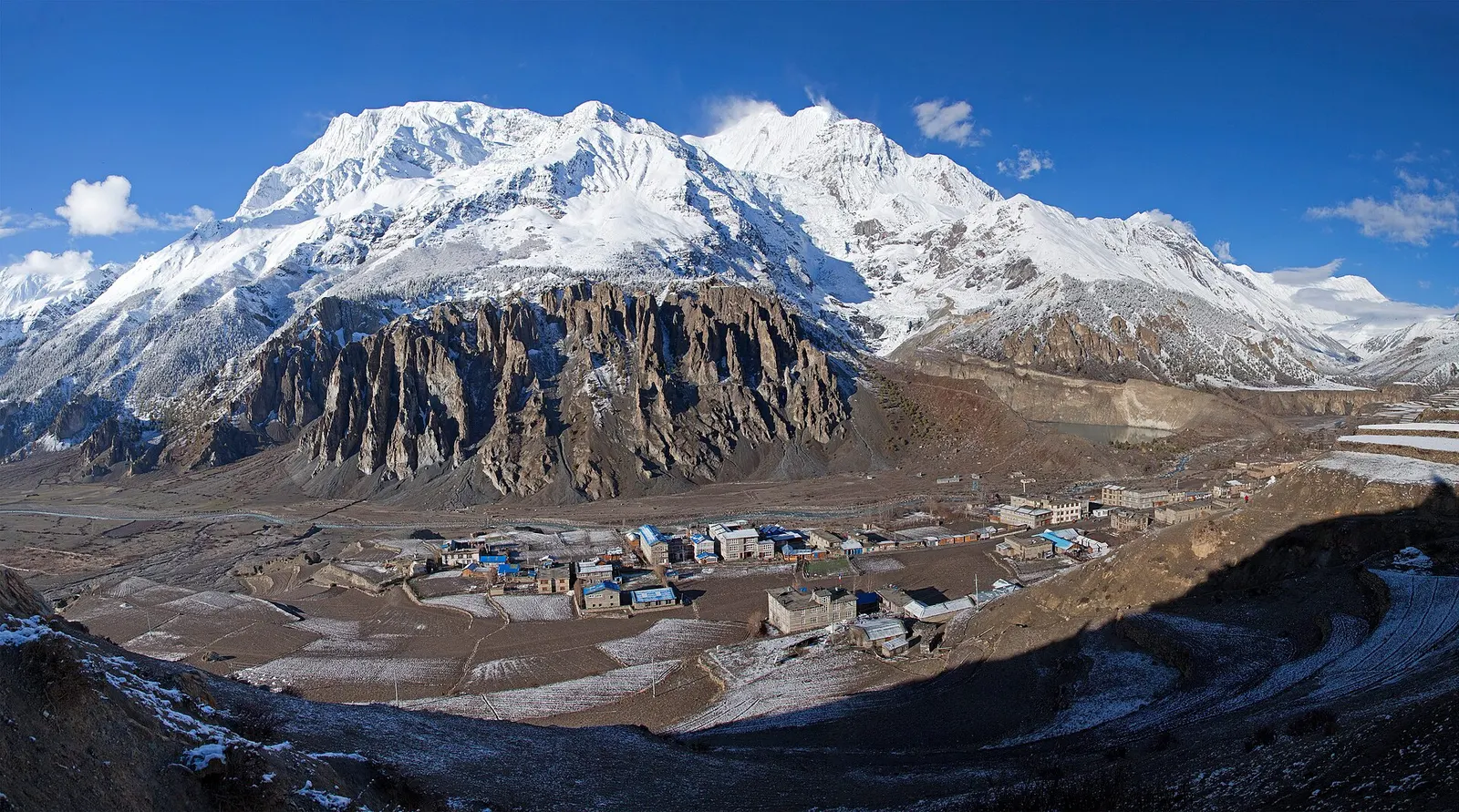
Town or village · 3,519 m
A high stone village in the upper Marsyangdi valley below Annapurna III and Gangapurna, where Circuit trekkers stop to acclimatise.
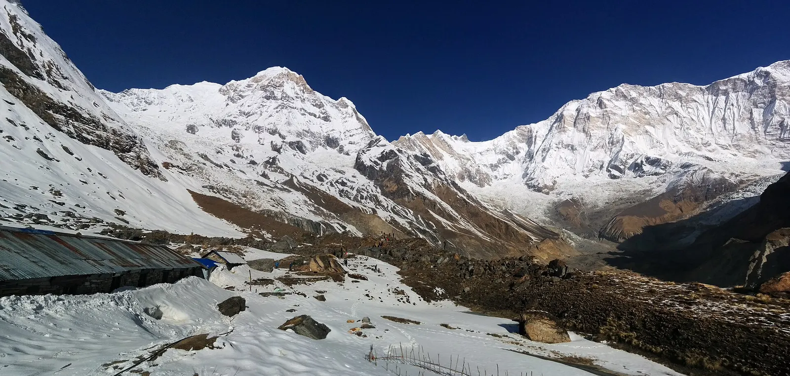
Trek stop · 4,130 m
Lodges at about 4,130 m in the glacial basin of the Annapurna Sanctuary, below the south face of Annapurna I.
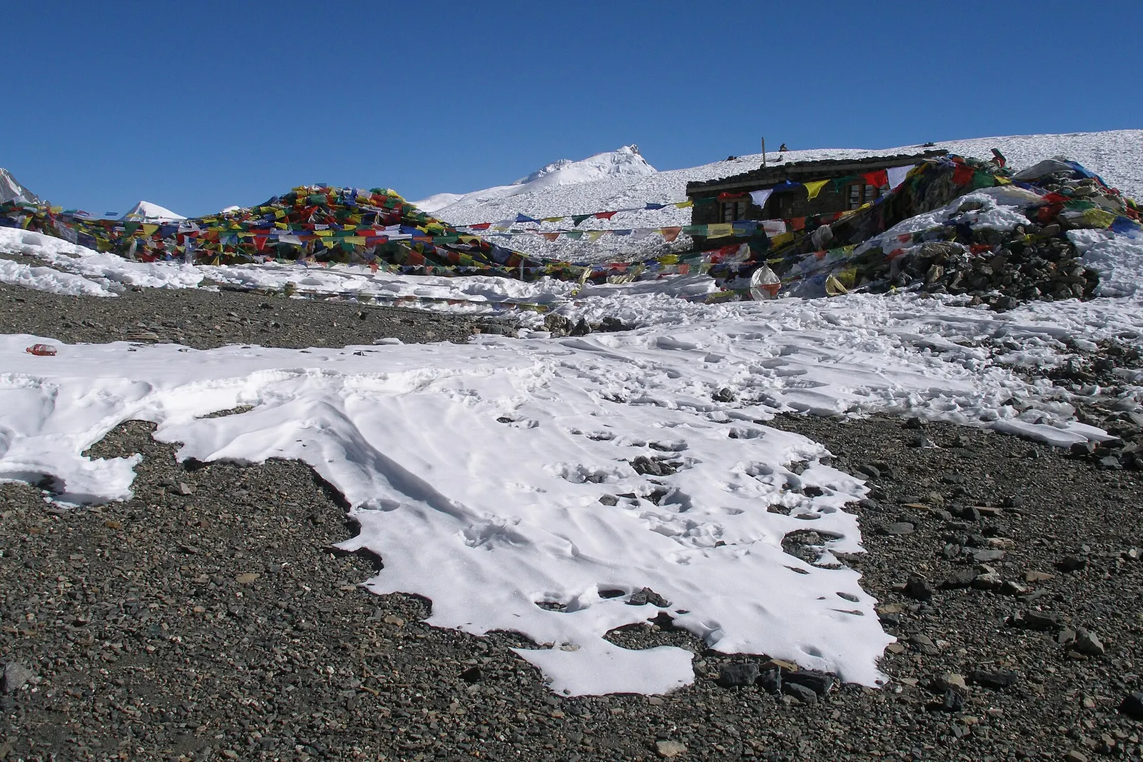
Mountain pass · 5,416 m
The 5,416 m pass between Manang and Muktinath, the high point of the Annapurna Circuit.
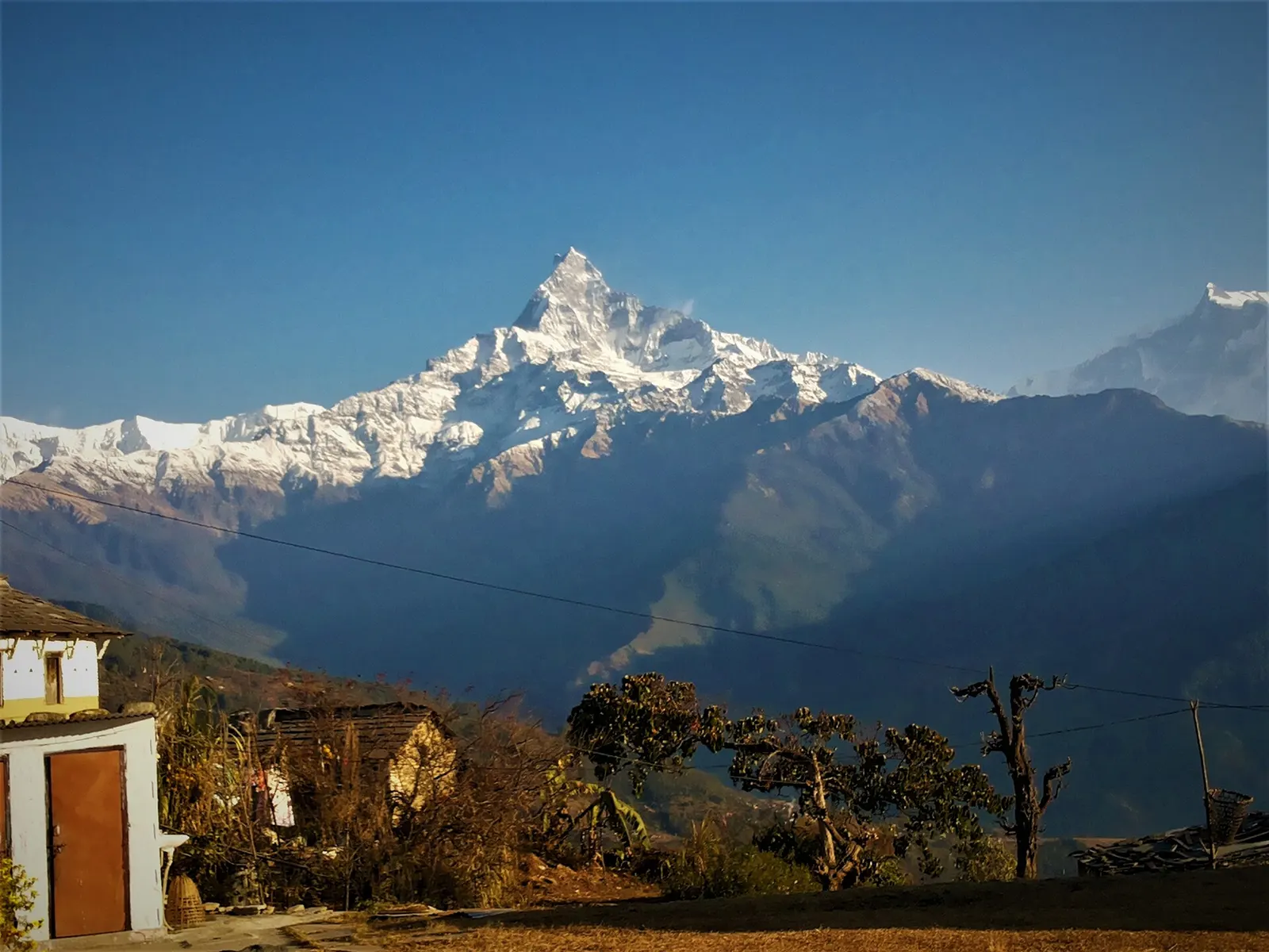
Trek stop · 2,060 m
A grassy clearing at about 2,060 m above Kande with a wide view of the Annapurna range and Machhapuchhre, an easy walk from the road.
Trek stop · 2,310 m
A group of lodges in the bamboo forest of the Modi Khola gorge, the first overnight stop above Chhomrong on the way to Annapurna Base Camp.
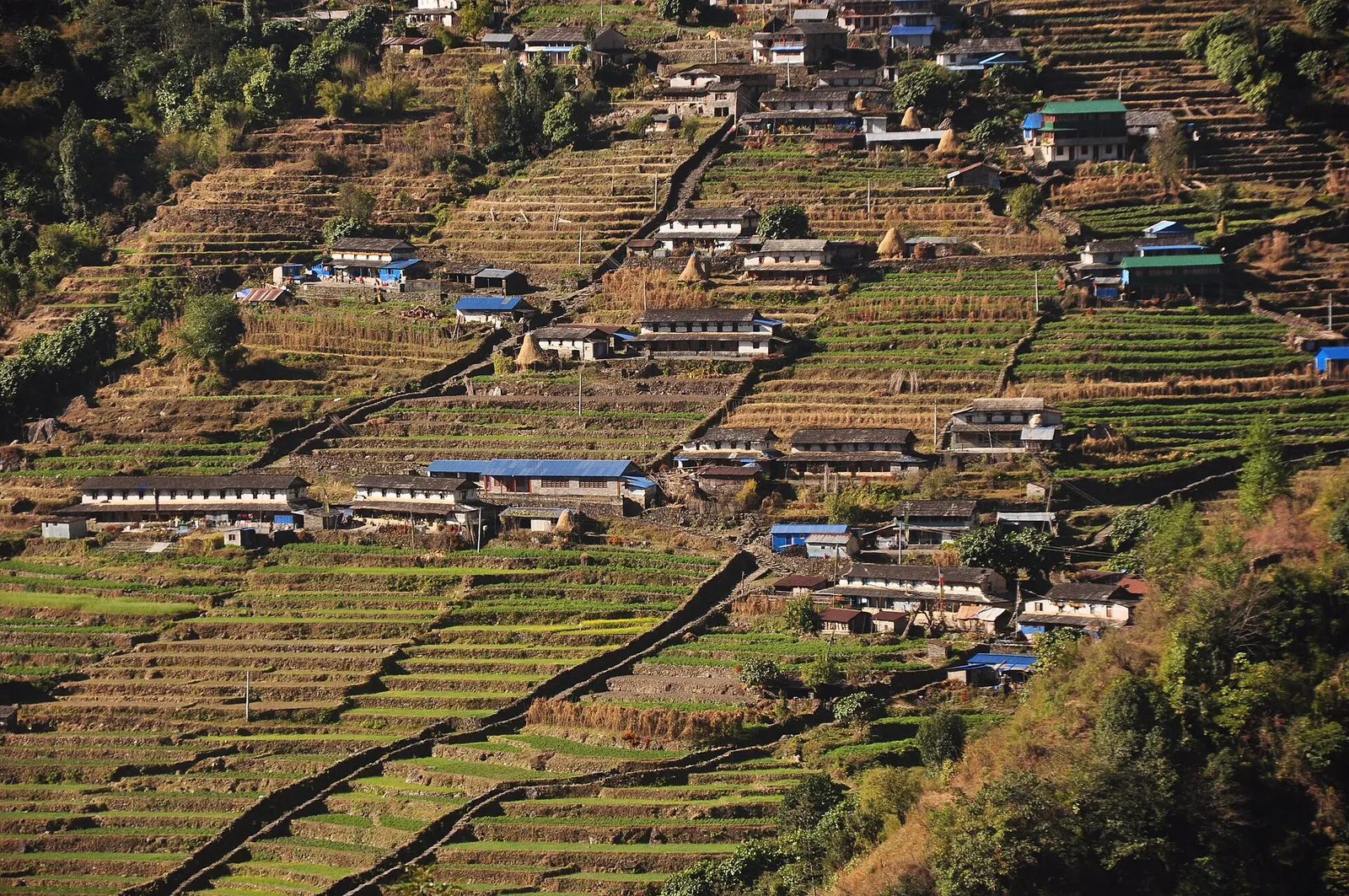
Trek stop · 2,170 m
The last permanent Gurung village before the Annapurna Sanctuary, built on a steep staircase facing Annapurna South and Machhapuchhre.
Trek stop · 3,200 m
The last lodges in the Modi Khola gorge before Machhapuchhre Base Camp, at about 3,200 m.
Trek stop · 1,650 m
A Gurung hill village above Phedi with views of Machhapuchhre and the Annapurnas, close to Pokhara.
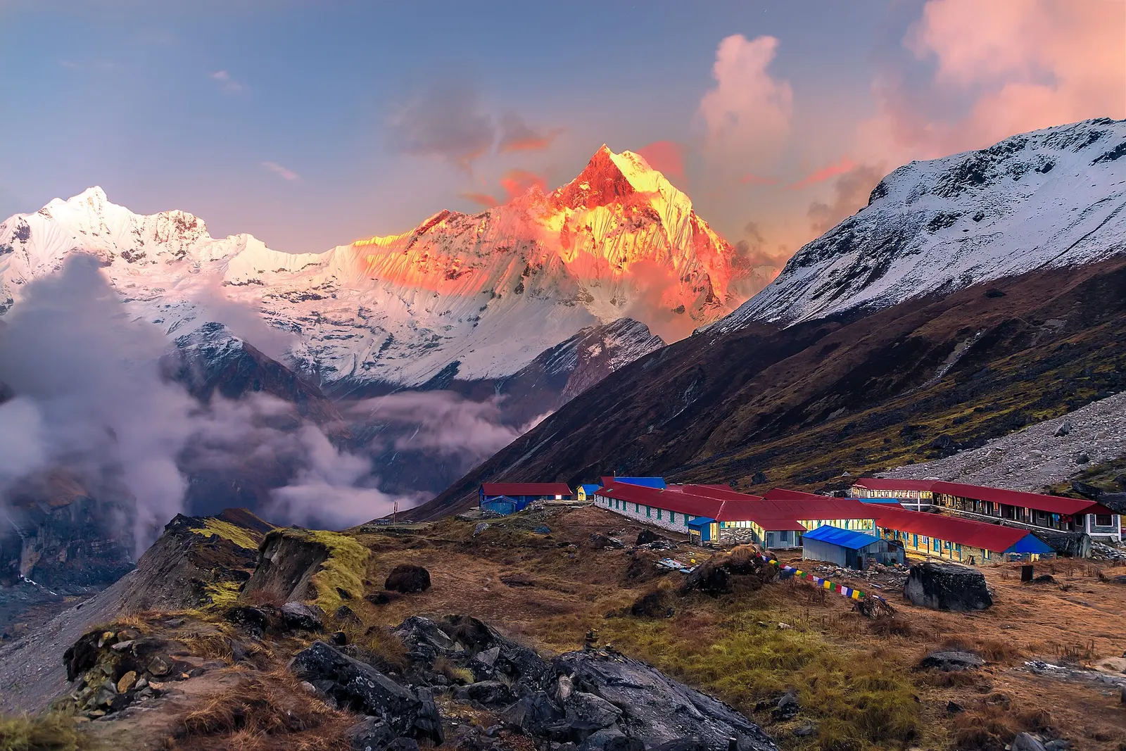
National park or conservation area
Nepal's largest protected area, from Gurung hill villages and rhododendron forest to the dry valleys behind the Annapurna range.