National park or conservation area
Kanchenjunga Region
A remote trekking region below the world's third-highest mountain, with Limbu and Sherpa villages, two base camps and a restricted-area permit.
Koshi Provinceताप्लेजुङ
Remote mountain district at Nepal's north-eastern tip, home to Kanchenjunga, its base-camp treks and the hilltop shrine of Pathibhara Devi.
Taplejung is the north-eastern-most district of Nepal, in Koshi Province, bordering Tibet (China) to the north and Sikkim (India) to the east. Sankhuwasabha lies to the west and Panchthar and Terhathum to the south. The Tamor river drains the district, and the land climbs from subtropical valleys to the Kanchenjunga massif, which includes the third-highest mountain in the world.
Limbu people form a large share of the population, with Sherpa, Rai, Gurung and others in the higher valleys. Farming, cardamom and livestock support most families. Much of the north lies in the Kanchenjunga Conservation Area. Trekkers come for routes through the Kanchenjunga Region to Ghunsa, Kambachen, Lhonak and Pangpema (Kanchenjunga North Base Camp), or via Yamphudin and Tseram to the south side, while pilgrims climb to Pathibhara Devi.
National park or conservation area
A remote trekking region below the world's third-highest mountain, with Limbu and Sherpa villages, two base camps and a restricted-area permit.
Viewpoint · 5,140 m
The North Base Camp of Kanchenjunga, a grassy shelf at about 5,140 m facing the mountain's north-west face.
Temple, monastery or heritage site · 3,794 m
A hilltop shrine to the goddess Pathibhara above Phungling in Taplejung, one of the most visited pilgrimage sites in eastern Nepal.
The Mechi Highway runs north from Birtamod in Jhapa through Ilam and Phidim to Taplejung (Phungling), a long day's drive or more on mountain roads. Suketar airstrip near the headquarters has had flights, though services are irregular; Bhadrapur is the nearest airport with regular flights.
Autumn (October to November) and spring (March to May) are the trekking seasons; the monsoon is very wet with leeches and landslides, and winter brings deep snow to the high passes and base camps.
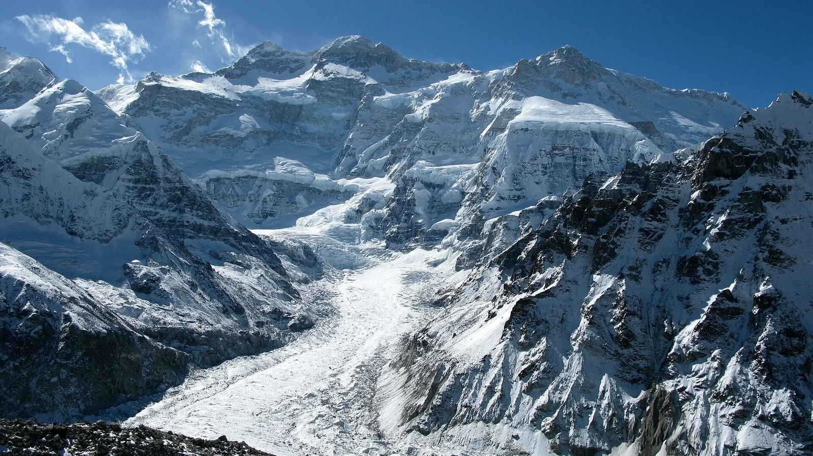
A three-week restricted-area trek in far eastern Nepal that reaches both Kanchenjunga base camps, Pangpema in the north and Oktang in the south, joined by the Sele La pass crossing.