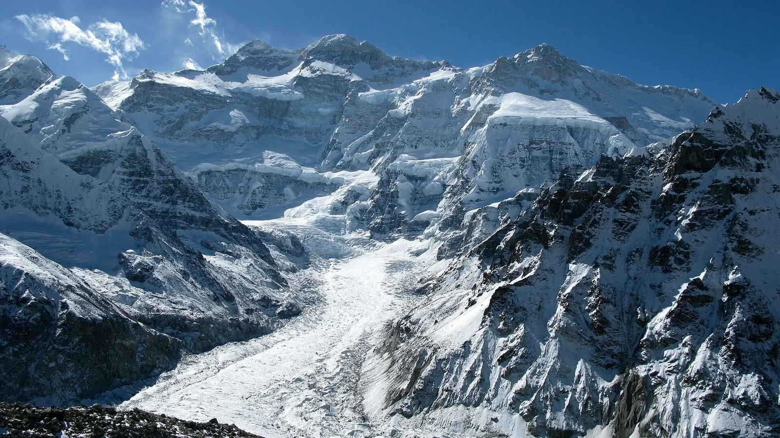
A three-week restricted-area trek in far eastern Nepal that reaches both Kanchenjunga base camps, Pangpema in the north and Oktang in the south, joined by the Sele La pass crossing.
- Days
- 20 days
- Maximum altitude
- 5,143 m
- Difficulty
- Challenging
Kanchenjunga Regionताप्लेजुङ (फुङलिङ)
The hill town headquarters of Taplejung district, where Kanchenjunga treks start and finish.
This is Phungling, the headquarters town of Taplejung district, not the whole district of the same name.
Phungling, usually just called Taplejung after its district, is the administrative town of Taplejung in the far north-east of Nepal and the gateway to the Kanchenjunga region. It sits on a ridge at roughly 1,800 m above the Tamor river, with Suketar airport and the start of the walk to the Pathibhara Devi temple on the higher ground above it.
For trekkers it is the last town with banks, shops and reliable supplies before the Kanchenjunga Circuit. Agencies often complete permit checks here, and jeeps leave for the road heads in the Tamor valley (towards Sekathum and Ghunsa) and the Kabeli valley (towards Yamphudin). Most groups arrive after a two-day drive from Bhadrapur through Ilam and Phidim on the Mechi Highway and spend a night here at both ends of the trek.
The town has a small bazaar with hotels, restaurants, banks, a hospital and a bus park, and mobile coverage is reliable. Because the roads in and out are long and often slow, many trekkers use a spare night here to recover after the drive or to wait out a landslide closure, and it is a convenient place to check last-minute details with the trekking crew before heading up the valley.
Taplejung is part of the Limbuwan homeland of the Limbu (Yakthung) people, whose Mundhum oral tradition and Kirat religion shape local festivals and rituals. Phungling Municipality was formed in 2014 by merging Phungling and Dokhu. The Pathibhara Devi temple on a summit above the town is an important Hindu and Limbu pilgrimage site, visited by large numbers of pilgrims, especially during Dashain and other festivals.
Prepare for the Kanchenjunga trek
Buy last supplies, withdraw cash and confirm permits and jeep transport before heading up the valley.
Pathibhara Devi temple
A pilgrimage trail climbs from the ridge above Phungling to the hilltop temple at about 3,800 m, usually as an overnight trip; check current road and trail access.
Forecast for 1,820 m. Conditions change fast in the mountains.
Weather data: MET Norway, licensed CC BY 4.0. A forecast, not a guarantee.
Mar-May, Oct-Nov
Several simple hotels and guesthouses in the bazaar.
No partner stays are listed here yet. List a property.
Fly from Kathmandu to Bhadrapur or Biratnagar and drive north on the Mechi Highway via Ilam and Phidim.
Nearest hub: Bhadrapur
None needed
No permit is needed for Phungling itself. Treks beyond need a Kanchenjunga Conservation Area permit and, for the upper valleys, a restricted area permit through a registered agency.
Verify before travel: permit rules and fees change. Checked 2026-10-06 against Department of Immigration, Nepal: trekking route and permit fee.
On the Kanchenjunga Circuit (North and South Base Camps).
A three-week restricted-area trek in far eastern Nepal that reaches both Kanchenjunga base camps, Pangpema in the north and Oktang in the south, joined by the Sele La pass crossing.
Fly to Bhadrapur or Biratnagar, then drive north via Ilam and Phidim, which usually takes most of two days. Flights to Suketar airport above the town have been irregular.
Yes. Phungling is the last town before the trek, and jeeps go from here to the road heads in the Tamor and Kabeli valleys.
Yes, Phungling has banks and ATMs, but there are none on the trek beyond, so carry enough cash.
Viewpoint · 5,140 m
The North Base Camp of Kanchenjunga, a grassy shelf at about 5,140 m facing the mountain's north-west face.
Trek stop · 3,475 m
The main village of the upper Kanchenjunga valleys, a Tibetan-heritage settlement and the hub of the North Base Camp trek.
Trek stop · 4,100 m
A seasonal herding settlement at about 4,100 m facing the north side of Jannu, the second acclimatisation stop on the way to Pangpema.
Trek stop · 4,785 m
A high, sandy plain at about 4,785 m beside the Kanchenjunga glacier, the last overnight stop before Pangpema.
Trek stop · 3,865 m
A small lodge stop at about 3,870 m in the Simbuwa Khola valley, base for Ramche and the Oktang viewpoint on the southern side of Kanchenjunga.
Trek stop · 2,080 m
A farming village of several communities at the southern gateway to Kanchenjunga, and the restricted-area checkpoint for the Oktang route.
National park or conservation area
A remote trekking region below the world's third-highest mountain, with Limbu and Sherpa villages, two base camps and a restricted-area permit.
Town or village · 1,627 m
A hill town in Nepal's far east, surrounded by tea gardens, with sunrise viewpoints towards Kanchenjunga and a sacred wetland lake.