Skip to content

Kanchenjunga Region

Kanchenjunga Circuit Trek (North and South Base Camps)

A three-week restricted-area trek in far eastern Nepal that reaches both Kanchenjunga base camps, Pangpema in the north and Oktang in the south, joined by the Sele La pass crossing.

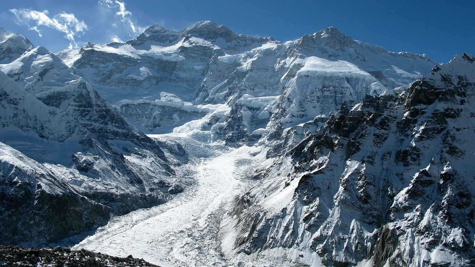
The north-west face of Kanchenjunga and the Kanchenjunga glacier seen from Pangpema.
Photo: Tomabarker (CC BY 3.0)
Days
19-26
Max altitude
5,143 m
Distance
about 220 km
Difficulty
Challenging
Best months
Mar-May, Oct-Nov
Start / end
Phungling (Taplejung) / Phungling (Taplejung)
Sleep in
Teahouses, Camping, Hotels
Permits
Restricted area

Overview

The Kanchenjunga Circuit walks around the Nepal side of Kanchenjunga (8,586 m), the third-highest mountain on Earth, in Taplejung district on the borders with Tibet and Sikkim. The usual plan goes up the Tamor and Ghunsa valleys to Pangpema, the North Base Camp at about 5,140 m below the north-west face, returns to the Tibetan-heritage village of Ghunsa, then crosses a chain of high passes known together as the Sele La crossing to Tseram and the Oktang viewpoint above the Yalung glacier, the South Base Camp side.

This page covers the combined circuit and both single-side versions. Walking through Limbu farming villages, cardamom terraces, rhododendron and fir forest and then glacier moraine, the route sees far fewer trekkers than Everest or Annapurna. Teahouses now operate at most overnight stops, but they are basic, and some groups still camp.

Upper Kanchenjunga is a restricted area, so the trek is arranged through a registered agency with a licensed guide, and it needs about three weeks plus travel to and from far eastern Nepal.

Pangpema and the north-west face of Kanchenjunga above the Kanchenjunga glacierJannu (Kumbhakarna) seen from KambachenThe Sele La crossing between the northern and southern valleysOktang viewpoint above the Yalung glacier on the southern sideGhunsa, a Tibetan-heritage village with a monasteryLimbu villages, cardamom terraces and rhododendron forest in the lower valleys

Why it is rated challenging

  • About three weeks of walking in a remote area with basic lodges and limited rescue access.
  • Pangpema reaches about 5,140 m, and several nights are spent above 4,000 m.
  • The Sele La crossing from Selele to Tseram is a long day over several passes up to about 4,800 m, often with snow early and late in the season.
  • Steep forest climbs and descents of more than 1,000 m in a day, and a rockfall-prone section below Kambachen.

North Base Camp only (Pangpema)

The northern trek follows the same route as days 3 to 12 of the circuit below: road head in the Tamor valley, Amjilosa, Gyabla, Ghunsa, Kambachen and Lhonak, with a day walk to Pangpema (about 5,140 m) and then a return down the same valley. From and back to Taplejung it usually takes about 15 to 19 days including two acclimatisation days.

It is the choice for trekkers who want the close view of Kanchenjunga's north-west face and the Kanchenjunga glacier but prefer not to cross the Sele La passes. Lodges at Lhonak and Pangpema are seasonal and very simple, so check what is open before you go.

South Base Camp only (Oktang)

The southern trek leaves the road near Yamphudin or Phumphe Danda in the Kabeli valley and climbs through forest via Tortong to Tseram (about 3,870 m), then up the ablation valley of the Yalung glacier to Ramche and the Oktang viewpoint (about 4,700 m) facing the south face of Kanchenjunga. The return is by the same route.

It usually takes about 10 to 14 days from Taplejung and stays below 4,800 m, so it suits trekkers with less time. The long forest climb above Yamphudin is steep and can be muddy, and the lodges between Tortong and Ramche are few.

Which direction to walk the circuit

Most groups go north first, as on this page. Reaching Pangpema early gives several nights at 3,400 to 4,800 m before the Sele La crossing, and the descent to Yamphudin at the end is easier on tired legs than the long climb would be.

Walking the other way puts the passes early in the trip, before trekkers are well acclimatised, and the crossing from Tseram to Selele is a long uphill day. If you choose that direction, add an extra night around Tseram.

Getting to Taplejung

Most trekkers fly from Kathmandu to Bhadrapur, or less often Biratnagar, and drive north on the Mechi Highway through Ilam and Phidim to Phungling, the headquarters town of Taplejung district. The drive takes most of two days with a stop in the tea hills. Small planes to Suketar (Taplejung) airport above Phungling have run irregularly; check the current situation.

From Phungling, jeeps continue on a rough road up the Tamor valley towards Sekathum for the northern side and towards the Kabeli valley for the southern side. Both roads are being extended and are affected by landslides, so the start and end points of the walk change from season to season.

Linking to Olangchung Gola and Makalu

Some trekkers add a crossing from Ghunsa over the Nango La to Olangchung Gola, a Tibetan-heritage trading village, and from there continue west over the Lumba Sambha pass towards the Makalu region. This is the line taken by the Kanchenjunga section of the Great Himalaya Trail and is a camping trek with long days and high passes.

Elevation profile

About altitude

Sleeping altitude for each night. The dashed lines at 3,000 m and 4,000 m mark heights where altitude illness becomes more common. General information only, not medical advice.

Hover, tap or use the arrow keys to see each day. Shaded columns are acclimatisation days.

Show the profile as a table
Sleeping altitude by day
DayOvernightSleeping altitudeHigh point
1Ilam1,627 m-
2Phungling1,820 m-
3Sekathum1,650 m-
4Amjilosa2,510 m-
5Gyabla2,730 m-
6Ghunsa3,475 m-
7Ghunsa (rest)3,475 m-
8Kambachen4,100 m-
9Kambachen (rest)4,100 m-
10Lhonak4,785 m-
11Lhonak4,785 m5,143 m
12Ghunsa3,475 m-
13Selele4,220 m-
14Tseram3,870 m4,830 m
15Tseram3,870 m4,730 m
16Tortong2,995 m-
17Yamphudin2,080 m-
18Phumphe Danda1,858 m-
19Phungling1,820 m-
20Bhadrapur91 m-

Day-by-day itinerary

  1. Day 1, travel dayFly to Bhadrapur, drive to Ilamsleep 1,627 m

    A flight of about 45-60 minutes to Bhadrapur in the eastern plains, then about 3-4 hours by road up into the tea gardens of Ilam. Some groups stop at Fikkal or Kanyam instead, or drive straight on to Taplejung in one long day.

    Hotel in IlamAbout Ilam

  2. Day 2, travel dayDrive to Phungling (Taplejung)sleep 1,820 m

    About 6-8 hours on the winding Mechi Highway via Phidim. Phungling, the district headquarters, is where agencies usually complete permit formalities and buy last supplies.

    Hotel or lodge in PhunglingAbout Phungling

  3. Day 3, travel dayJeep up the Tamor valley to Sekathumsleep 1,650 m

    A rough jeep ride of about 5-7 hours via Mitlung, Chiruwa and Taplethok, where permits are checked at the conservation area entrance. Depending on road conditions, some groups walk part of this stretch.

    Teahouse in Sekathum

  4. Day 4Sekathum to Amjilosasleep 2,510 m5-7 habout 10 km

    The trail enters the narrow gorge of the Ghunsa Khola, crossing the river and climbing steeply on exposed sections. The last climb to the small settlement of Amjilosa is long and tiring.

    Teahouse in Amjilosa

  5. Day 5Amjilosa to Gyablasleep 2,730 m4-5 habout 8 km

    A gentler day through bamboo, oak and rhododendron forest with waterfalls on the far side of the valley. Gyabla is a small village of Tibetan-heritage families on a shelf above the river.

    Teahouse in Gyabla

  6. Day 6Gyabla to Ghunsasleep 3,475 m4-6 habout 10 km

    The valley opens out past the village of Phale, which has a small monastery, into larch and fir forest. Ghunsa is the largest village on the route, with lodges, a health post, a conservation area office and a police checkpoint.

    Teahouse in GhunsaAbout Ghunsa

  7. Day 7, acclimatisationAcclimatisation day in Ghunsasleep 3,475 m3-4 h

    Walk up one of the ridges above the village to gain a few hundred metres and come back down to sleep. Visit the monastery and the village, and check lodge and pass conditions ahead.

    Teahouse in GhunsaAbout Ghunsa

  8. Day 8Ghunsa to Kambachensleep 4,100 m5-7 habout 11 km

    Through forest and then open grazing land beside the river, crossing a long landslide slope where rockfall is a risk; walk it steadily and without stopping. Kambachen sits in a wide valley facing the north side of Jannu (Kumbhakarna).

    Teahouse in KambachenAbout Kambachen

  9. Day 9, acclimatisationAcclimatisation day in Kambachensleep 4,100 m2-4 h

    A second rest day before going above 4,500 m. A short walk up the slopes behind the settlement gives wider views of Jannu and the surrounding glaciers.

    Teahouse in KambachenAbout Kambachen

  10. Day 10Kambachen to Lhonaksleep 4,785 m4-5 habout 10 km

    Past the summer grazing ground of Ramtang and along the edge of the Kanchenjunga glacier's moraine to the flat, sandy plain of Lhonak. Lodges here are basic and seasonal.

    Teahouse in LhonakAbout Lhonak

  11. Day 11Day walk to Pangpema (North Base Camp)sleep 4,785 m7-8 habout 16 km

    An early start along the lateral moraine to Pangpema, the grassy shelf below the north-west face of Kanchenjunga used as the North Base Camp. Return the same way to Lhonak; some trekkers sleep at Pangpema when a lodge is open there.

    Teahouse in LhonakAbout Lhonakhigh point Pangpema, 5,143 m

  12. Day 12Lhonak back to Ghunsasleep 3,475 m7-8 habout 21 km

    A long descent past Kambachen and back across the landslide slope to Ghunsa. Losing more than 1,300 m in a day helps recovery before the passes.

    Teahouse in GhunsaAbout Ghunsa

  13. Day 13Ghunsa to Selelesleep 4,220 m4-5 habout 7 km

    A steep climb through rhododendron and juniper above Ghunsa to Selele, a small high camp with one or two basic lodges below the passes. Go to bed early for the crossing next day.

    Teahouse in Selele

  14. Day 14Cross the Sele La passes to Tseramsleep 3,870 m7-9 habout 13 km

    The crux of the circuit: a long traverse over a series of passes, usually named as Sele La or Sinion La, Mirgin La and Sinelapche La, with views back to Makalu and Everest on a clear morning. The trail is easy to lose in cloud or snow, so stay with your guide; then descend steeply to Tseram in the Simbuwa Khola valley.

    Teahouse in TseramAbout Tseramhigh point Sinelapche La, 4,830 m

  15. Day 15Day walk to Ramche and Oktang (South Base Camp)sleep 3,870 m7-8 habout 18 km

    Up the ablation valley beside the Yalung glacier to the meadows of Ramche, then along the moraine to Oktang, a viewpoint with prayer flags facing the south face of Kanchenjunga. Some groups sleep at Ramche and visit Oktang at dawn.

    Teahouse in TseramAbout Tseramhigh point Oktang viewpoint, 4,730 m

  16. Day 16Tseram to Tortongsleep 2,995 m4-5 habout 10 km

    A steady descent through fir and rhododendron forest along the Simbuwa Khola to the riverside clearing of Tortong. The forest is home to red panda, although sightings are rare.

    Teahouse in Tortong

  17. Day 17Tortong to Yamphudinsleep 2,080 m6-7 habout 12 km

    The trail climbs out of the valley over a forested ridge before a long, steep descent to Yamphudin. This is the first permanent village on the southern side, home to Limbu, Sherpa, Rai and Gurung families, and the southern restricted-area checkpoint.

    Teahouse or homestay in YamphudinAbout Yamphudin

  18. Day 18Yamphudin to Phumphe Dandasleep 1,858 m5-6 habout 12 km

    Down to the Kabeli Khola and across suspension bridges, then up through terraced farmland and Limbu villages to the ridge of Phumphe Danda. Road building in this valley may allow a jeep from earlier in the day.

    Teahouse or homestay in Phumphe Danda

  19. Day 19Walk to the road and drive to Phunglingsleep 1,820 m3-5 h

    A final walk along the ridge to the road head, often around Kande Bhanjyang, then a jeep back to Phungling. The road head moves as new roads are built, so the walking time varies.

    Hotel or lodge in PhunglingAbout Phungling

  20. Day 20, travel dayDrive to Bhadrapursleep 91 m

    A long drive of about 9-11 hours down the Mechi Highway to the plains, for the flight to Kathmandu the next morning. Keep at least one spare day before any international flight, as delays on these roads are common.

    Hotel in Bhadrapur

Stages, times and altitudes vary by operator, weather and pace. Partner agencies confirm the exact plan.

Route map

Approximate route drawn through the overnight stops.

Mount Everest 8,848.86Kangchenjunga 8,586Dhaulagiri I 8,167Manaslu 8,163Annapurna I 8,091IlamPhunglingSekathumAmjilosaGyablaGhunsaGhunsaKambachenKambachenLhonakLhonakGhunsaSeleleTseramTseramTortongYamphudinPhumphe DandaPhunglingBhadrapur
Boundary: Government of Nepal, Survey Department (2020). Peak data: Wikidata.

Permits

  • Kanchenjunga restricted area permit (Taplejung)Restricted area

    Issued by the Department of Immigration in Kathmandu through a registered trekking agency. It covers Phaktanglung Rural Municipality wards 6 and 7, Mikwakhola Rural Municipality ward 5 and Sirijangha Rural Municipality ward 8; the Department lists USD 20 per week for the first four weeks and USD 25 per week after that (read 2026-10-06).

  • Kanchenjunga Conservation Area entry permitConservation area

    Required for the whole route; usually arranged in Kathmandu by your agency and checked at Taplethok and Ghunsa. Check the current fee.

  • TIMS cardTrekker card

    Check whether a TIMS card is currently required in addition to the restricted area permit; agencies arrange it if so.

Restricted area

Restricted-area permits are issued only through a government-registered trekking agency, for trekkers accompanied by a licensed guide; the rules have long required a minimum group of two trekkers, and changes have been reported, so confirm the current rule with the Department of Immigration or a licensed agency.

Verify before travel: permit rules and fees change. Checked 2026-10-06 against Department of Immigration, Nepal: trekking route and permit fee. Guide rule: Nepal bans solo trekking for tourists, guides mandatory from April 1 (The National, March 2023).

Nepal trekking permits explained

When to go

Best months: Mar-May, Oct-Nov

Autumn (Sep-Nov)
October and November are the main season, with clear skies and stable weather; September is often still wet in the lower valleys.
Winter (Dec-Feb)
December to February is very cold above Ghunsa, many high lodges close and snow often blocks the Sele La passes, so the circuit is rarely walked.
Spring (Mar-May)
March to May brings rhododendron flowers in the middle forests and warmer days, with more afternoon cloud; snow can linger on the passes into April.
Monsoon (Jun-Aug)
June to August is wet, with leeches, landslides on the Tamor valley road and cloud hiding the peaks; the high route is not recommended.

Weather on the route

Forecasts for start (Ilam, 1,627 m), highest overnight (Lhonak, 4,785 m), end (Bhadrapur, 91 m). Mountain weather changes fast; check again on the day.

Weather in Ilam (start)

Forecast for 1,627 m. Conditions change fast in the mountains.

Weather data: MET Norway, licensed CC BY 4.0. A forecast, not a guarantee.

Weather in Lhonak (highest overnight)

Forecast for 4,785 m. Conditions change fast in the mountains.

Weather data: MET Norway, licensed CC BY 4.0. A forecast, not a guarantee.

Weather in Bhadrapur (end)

Forecast for 91 m. Conditions change fast in the mountains.

Weather data: MET Norway, licensed CC BY 4.0. A forecast, not a guarantee.

Safety

Above about 3,000 m, a widely used guideline is to increase your sleeping altitude by no more than about 500 m a day and to take an extra night at the same altitude every 3 to 4 days (CDC Yellow Book; Wilderness Medical Society). This is general information, not medical advice.
Know the signs of acute mountain sickness: headache with nausea, loss of appetite, unusual tiredness, dizziness or poor sleep. Do not go higher with symptoms, and go down if they get worse. Confusion, stumbling, or breathlessness at rest are emergencies: descend at once and get help.
Buy travel insurance that explicitly covers trekking and helicopter evacuation up to about 5,200 m. Rescue here depends on weather and phone signal, which is patchy above Ghunsa.
The landslide slope between Ghunsa and Kambachen has active rockfall. Cross it early in the day, without stopping, and follow your guide's advice.
Do not attempt the Sele La crossing in fresh snow, poor visibility or high wind; wait a day in Ghunsa or Selele. The route over the passes is not always clear on the ground.
Roads to the trailheads are rough and often blocked by landslides, especially in and after the monsoon; allow spare days at the end of the trip.

What to pack

  • A four-season sleeping bag rated to about -15 C for Lhonak, Selele and Pangpema
  • Microspikes or light crampons for snow on the Sele La passes in spring and late autumn
  • Water purification tablets or a filter
  • Cash in Nepali rupees for the whole trek; there are no ATMs beyond Phungling
  • A headlamp and spare batteries or a power bank; charging is limited and paid
  • Snacks and energy food, as lodge menus are short in the upper valleys
  • Leech socks or repellent for the lower forest early and late in the season
  • Copies of your passport and permits for checkpoints
Full trekking gear list

Side trips and alternatives

  • Ilam tea gardens

    On the drive in or out, a night in Ilam allows a walk through the tea estates and views towards the Kanchenjunga range on a clear morning.

  • Olangchung Gola via the Nango La

    A camping extension from Ghunsa to a Tibetan-heritage trading village near the Tibet border, then out down the Tamor valley.

  • On to the Makalu region

    Experienced parties continue west over the Lumba Sambha pass to the Arun valley and the Makalu Barun area, as on the Great Himalaya Trail.

Kanchenjunga Circuit questions

How many days do I need for the Kanchenjunga Circuit?

Plan on about 20 to 26 days from Kathmandu for the full circuit with both base camps, including travel to Taplejung and two acclimatisation days. The North Base Camp alone takes about 15 to 19 days from Taplejung and the South Base Camp alone about 10 to 14.

Can I trek to Kanchenjunga without a guide?

No. Upper Kanchenjunga is a restricted area, so the permit is issued only through a registered agency for trekkers with a licensed guide. Group-size rules have been reported to change, so confirm the current rule before booking.

Which is higher, the North or South Base Camp?

The North Base Camp at Pangpema, at about 5,140 m, is higher. The usual southern goal, the Oktang viewpoint above the Yalung glacier, is at about 4,700 m.

Are there teahouses on the Kanchenjunga trek?

Yes, there are basic lodges at most overnight stops, including Ghunsa, Kambachen, Lhonak, Selele and Tseram. Upper lodges are seasonal, so some groups still carry tents.

When is the best time to trek Kanchenjunga?

October and November, and from late March to May. Winter snow often closes the Sele La passes, and the monsoon brings leeches and landslides.

Similar treks

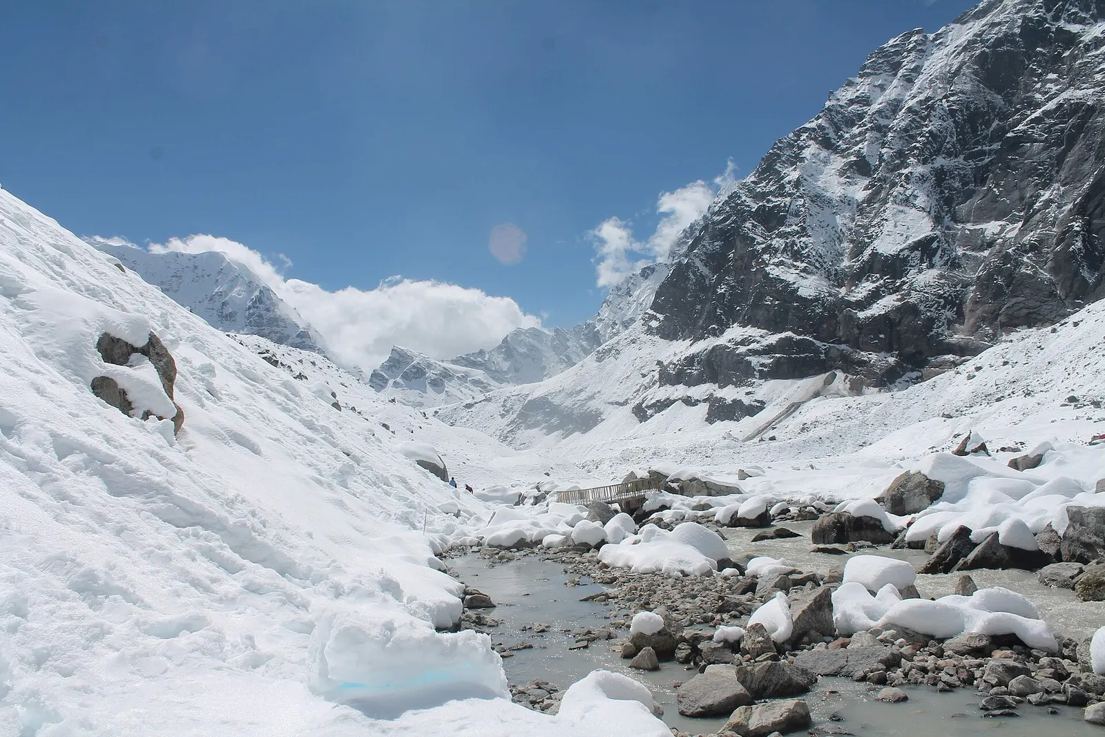
A snow-covered valley with a glacial stream and small footbridge at Makalu Base Camp, below steep rock walls.

A network of high and mid-hill routes about 1,700 km long that crosses Nepal from Kanchenjunga in the east to Humla and the far west, usually walked in sections, or as a through-trek of about four to five months.

Days
160 days
Maximum altitude
6,160 m
Difficulty
Challenging
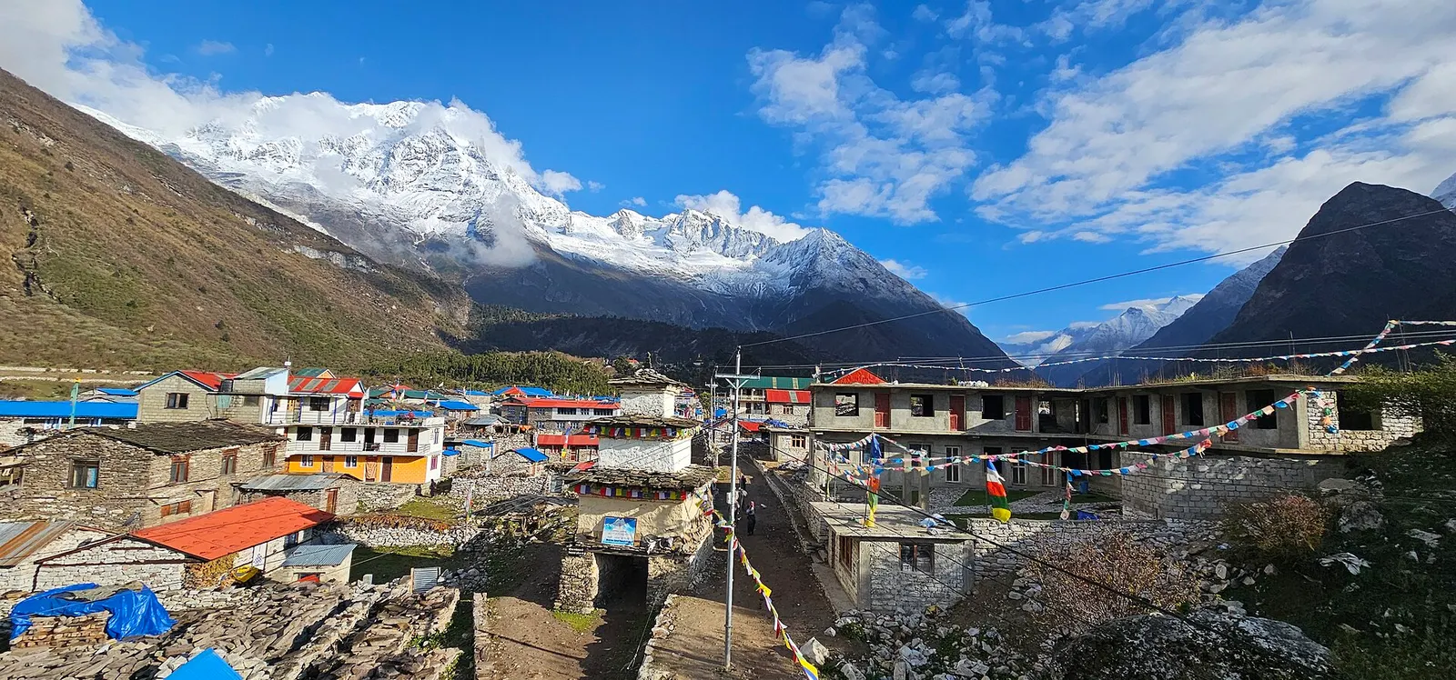
Stone houses and lodges of Samagaun with blue and red roofs, below snow-capped peaks of the Manaslu range.

A restricted-area teahouse trek around Manaslu (8,163 m), up the Budhi Gandaki gorge through Gurung and Nubri villages, over the Larkya La (about 5,106 m) and down to Dharapani on the Annapurna Circuit.

Days
12 days
Maximum altitude
5,106 m
Difficulty
Strenuous
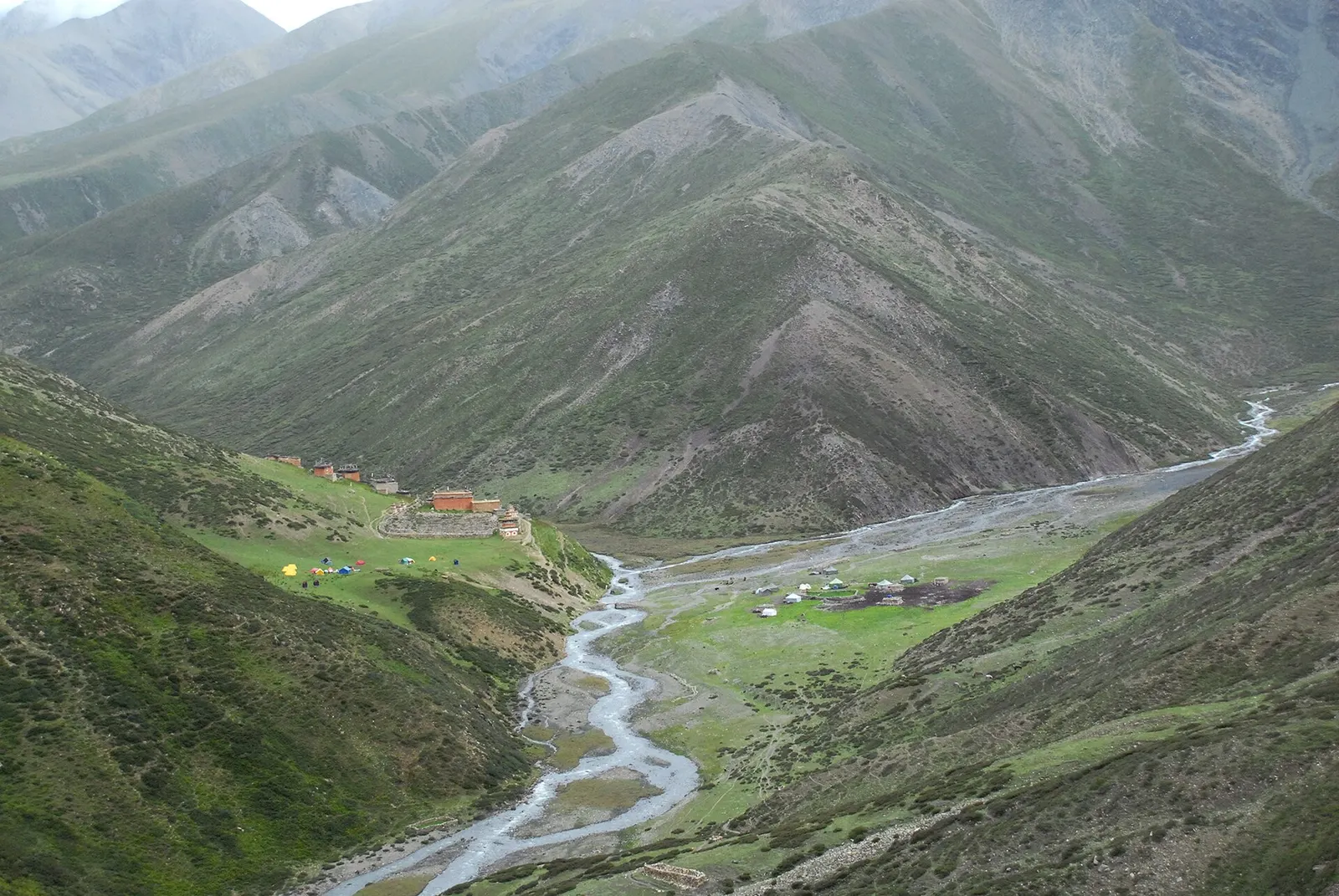
Green valley floor with a winding stream and the buildings of Shey Gompa beneath steep grassy mountainsides in Upper Dolpo.

A long restricted-area camping trek from Juphal past Phoksundo Lake, over the Kang La to Shey Gompa and Saldang, and back via the Jeng La and the Tarap valley.

Days
20 days
Maximum altitude
5,350 m
Difficulty
Challenging

Kanchenjunga Circuit · 20 days