A three-week restricted-area trek in far eastern Nepal that reaches both Kanchenjunga base camps, Pangpema in the north and Oktang in the south, joined by the Sele La pass crossing.
- Days
- 20 days
- Maximum altitude
- 5,143 m
- Difficulty
- Challenging
Kanchenjunga Regionचेराम
A small lodge stop at about 3,870 m in the Simbuwa Khola valley, base for Ramche and the Oktang viewpoint on the southern side of Kanchenjunga.
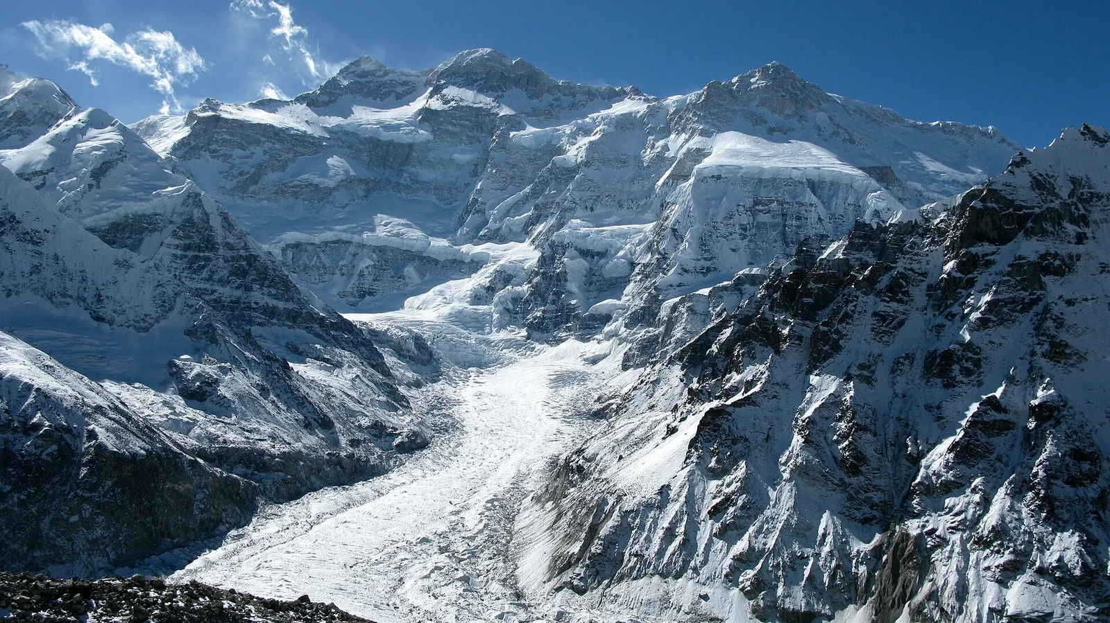
Tseram, also spelled Cheram, is a cluster of lodges at about 3,870 m in the upper Simbuwa Khola valley on the southern side of the Kanchenjunga region. Below the snout of the Yalung glacier, it is the base for the walk to Ramche and the Oktang viewpoint, which look onto the south face of Kanchenjunga.
On the full circuit, trekkers arrive here after the long crossing of the Sele La passes from Selele, and many spend two nights to visit Oktang. On the South Base Camp trek, Tseram is reached from Yamphudin via Tortong after three or four days of forest walking.
Tseram is a seasonal herding and lodge site rather than a permanent village; families from lower villages run the lodges in the trekking seasons. The Yalung side of Kanchenjunga is the route by which the mountain was first climbed in 1955, from a base camp near the Yalung glacier, and expeditions to the south-west face still use this valley.
Day walk to Oktang
Walk up the ablation valley to Ramche (about 4,500 m) and on to the Oktang viewpoint facing the south face of Kanchenjunga, about 7-8 hours return.
Rest after the passes
Recover from the Sele La crossing before the long descent to Tortong and Yamphudin.
Forecast for 3,865 m. Conditions change fast in the mountains.
Weather data: MET Norway, licensed CC BY 4.0. A forecast, not a guarantee.
Mar-May, Oct-Nov
A few basic seasonal lodges.
No partner stays are listed here yet. List a property.
Reached on foot, either over the Sele La passes from Ghunsa or up from Yamphudin via Tortong.
Nearest hub: Taplejung (Phungling)
Restricted-area permit
This part of the Kanchenjunga region is a restricted area. You need a restricted area permit, issued only through a registered trekking agency for trekkers with a licensed guide, and a Kanchenjunga Conservation Area entry permit.
Verify before travel: permit rules and fees change. Checked 2026-10-06 against Department of Immigration, Nepal: trekking route and permit fee.
On the Kanchenjunga Circuit (North and South Base Camps), Kanchenjunga South Base Camp trek.
A three-week restricted-area trek in far eastern Nepal that reaches both Kanchenjunga base camps, Pangpema in the north and Oktang in the south, joined by the Sele La pass crossing.
About 3,870 m.
Walk up the Yalung valley via Ramche to the Oktang viewpoint and back, usually a long day of 7-8 hours.
Yes, the names are two spellings of the same place.
Viewpoint · 5,140 m
The North Base Camp of Kanchenjunga, a grassy shelf at about 5,140 m facing the mountain's north-west face.
Trek stop · 3,475 m
The main village of the upper Kanchenjunga valleys, a Tibetan-heritage settlement and the hub of the North Base Camp trek.
Trek stop · 4,100 m
A seasonal herding settlement at about 4,100 m facing the north side of Jannu, the second acclimatisation stop on the way to Pangpema.
Trek stop · 4,785 m
A high, sandy plain at about 4,785 m beside the Kanchenjunga glacier, the last overnight stop before Pangpema.
Town or village · 1,820 m
The hill town headquarters of Taplejung district, where Kanchenjunga treks start and finish.
Trek stop · 2,080 m
A farming village of several communities at the southern gateway to Kanchenjunga, and the restricted-area checkpoint for the Oktang route.
National park or conservation area
A remote trekking region below the world's third-highest mountain, with Limbu and Sherpa villages, two base camps and a restricted-area permit.