Skip to content

Halesi-Maratika Caves

Mundum Trail Trek

A ridge walk of about 10 to 13 days through the Kirat Rai hills of Khotang and Bhojpur in eastern Nepal, past the sacred Salpa Pokhari lake to Silichung (about 4,150 m), with homestays and mountain views.

Days
10-14
Max altitude
4,153 m
Distance
about 80 km
Difficulty
Moderate
Best months
Mar-May, Oct-Nov
Start / end
Diktel (Khotang) / Bhojpur
Sleep in
Homestays, Camping, Guesthouses, Hotels
Permits
2 required

Overview

The Mundum Trail follows the high ridge that divides Khotang and Bhojpur districts, climbing north from Chakhewa Bhanjyang to Salpa Bhanjyang and the sacred Salpa Pokhari lake, with a final climb to Silichung, a summit of about 4,150 m on the borders of Bhojpur, Solukhumbu and Sankhuwasabha. On clear days the ridge looks out over Everest, Lhotse, Makalu and Kanchenjunga to the north and the middle hills and plains to the south.

The route is named after the Mundum (or Mundhum), the oral scripture of the Kirat peoples, and passes through the homeland of Kirat Rai communities, whose rituals, festivals and food are a central part of the walk. It was explored and promoted by local tourism committees with support from the Nepal Tourism Board, which named 2025 the Mundhum Trail Visit Year.

It is a young route with homestays and simple lodges rather than established teahouses, few signposts and long days on the ridge, so it suits trekkers who want culture and quiet over comfort.

Silichung summit, with Everest, Makalu and Kanchenjunga in view on a clear daySalpa Pokhari, a lake held sacred in Kirat traditionHomestays with Kirat Rai families and local foodSakela dances during the Ubhauli and Udhauli seasonsRhododendron forest along the ridge in springQuiet trails with very few other trekkers

Why it is rated moderate

  • Daily walks of about 5-8 hours on ridge trails, with several climbs and descents of 500-1,000 m.
  • The day to Silichung reaches about 4,150 m, high enough for altitude symptoms.
  • A new route with few signposts, homestays rather than teahouses, and some camping.

The Mundum and the Kirat Rai

The Mundum is the body of oral tradition of the Kirat peoples, recited by ritual specialists in their own languages. It covers creation stories, ancestors, rites of passage and the relationship between people and the land. The Limbu tradition is usually written Mundhum, and the Rai traditions of these hills are often written Mundum.

Along the trail you will see the Sakela dance, part of the Ubhauli and Udhauli festivals that mark the move of herds and households up to higher pastures in spring and back down in late autumn. Salpa Pokhari and Silichung are held sacred in Kirat tradition, and local people make pilgrimages to both. Please ask before photographing rituals, and follow your host's guidance at sacred sites.

A young trail

Homestays, drinking-water taps, rest shelters and toilets have been added along the route by local municipalities, but standards and availability vary from village to village. Some operators still run the trek with tents. Trail markings are limited, and the ridge can be confusing in cloud, so a local guide who knows the paths is strongly advised.

Itineraries differ in the details. Some start at Diktel in Khotang and finish in Bhojpur; others reverse the direction or add Temke hill, Hans Pokhari or a descent towards the Arun valley. The stage names below follow the most common published plan.

Getting there

The usual start is Diktel, the headquarters of Khotang district, reached by road from Kathmandu in a long day via the BP Highway and Sindhuli or via the Sun Kosi valley. From Diktel, jeeps continue towards Chakhewa Bhanjyang on the Khotang and Bhojpur border.

The trek usually ends in Bhojpur bazaar, which has a road connection to the east-west highway and an airstrip with limited flights. Tumlingtar airport in the Arun valley is another option for the return. The Halesi-Maratika caves, a pilgrimage site for Hindus, Buddhists and Kirat people, are within reach of Diktel and can be visited before or after the trek.

Elevation profile

About altitude

Sleeping altitude for each night. The dashed lines at 3,000 m and 4,000 m mark heights where altitude illness becomes more common. General information only, not medical advice.

Hover, tap or use the arrow keys to see each day. Shaded columns are acclimatisation days.

Show the profile as a table
Sleeping altitude by day
DayOvernightSleeping altitudeHigh point
1Diktel1,650 m-
2Chakhewa Bhanjyang2,300 m-
3Dhotre2,752 m-
4Maiyung3,122 m-
5Rawa Dhap3,426 m-
6Salpa Bhanjyang3,349 m-
7Salpa Bhanjyang3,349 m4,153 m
8Hyakule2,972 m-
9Hans Pokhari2,962 m-
10Bhojpur1,600 m-
11Kathmandu1,400 m-

Day-by-day itinerary

  1. Day 1, travel dayDrive from Kathmandu to Diktelsleep 1,650 m

    A long road day of about 9-11 hours, roughly 260-270 km, through the Sun Kosi or Sindhuli side to the hill town of Diktel, headquarters of Khotang district.

    Hotel or guesthouse in Diktel

  2. Day 2Diktel to Chakhewa Bhanjyangsleep 2,300 m5-7 h

    Many groups take a jeep for this stretch of about 40 km on the road towards Bhojpur, while others walk through Rai farming villages. Chakhewa Bhanjyang, on the Khotang and Bhojpur border, is the official start of the trail.

    Homestay at Chakhewa

  3. Day 3Chakhewa to Dhotresleep 2,752 m5-7 h

    Onto the ridge through forest and pasture. A side trip to Temke hill (about 3,010 m) adds 2-3 hours and gives a wide view over the middle hills.

    Homestay in Dhotre

  4. Day 4Dhotre to Maiyung (Saatdobate)sleep 3,122 m4-6 h

    Along the crest past mani walls and small passes to Maiyung, near the pond of Hans Pokhari. The ridge here is open and windy, with the first wide views of the high Himalaya on a clear morning.

    Homestay or camp at Maiyung

  5. Day 5Maiyung to Rawa Dhapsleep 3,426 m6-8 h

    Past Hyakule and through rhododendron forest and herders' pastures to Rawa Dhap. This is one of the longest days, with few settlements on the way, so carry water and lunch.

    Homestay or camp at Rawa Dhap

  6. Day 6Rawa Dhap to Salpa Bhanjyangsleep 3,349 m4-6 h

    Via the mani walls of Nikas to Salpa Bhanjyang, also called Kulupankha, a pass on the old trail between the Arun valley and Solukhumbu. Walk on to Salpa Pokhari, the sacred lake a short distance away, in the afternoon.

    Lodge or homestay at Salpa Bhanjyang

  7. Day 7Day climb to Silichungsleep 3,349 m6-8 h

    An early start for the climb to Silichung, a summit of about 4,150 m that is sacred in Kirat tradition, with views of Everest, Lhotse, Makalu and Kanchenjunga in clear weather. Return to Salpa Bhanjyang for the night; some itineraries add a rest day here.

    Lodge or homestay at Salpa Bhanjyanghigh point Silichung, 4,153 m

  8. Day 8Salpa Bhanjyang to Hyakulesleep 2,972 m6-8 h

    Back south along the ridge on the same trail, with a long descent through forest. The return gives a second chance at the mountain views if the way up was cloudy.

    Homestay in Hyakule

  9. Day 9Hyakule to Hans Pokharisleep 2,962 m2-4 h

    A short day to Hans Pokhari, a pond on the ridge, leaving time to spend with host families and learn about local food, weaving and farming.

    Homestay at Hans Pokhari

  10. Day 10Hans Pokhari to Bhojpursleep 1,600 m6-8 habout 21 km

    A long descent of about 1,300 m through villages and farmland to Bhojpur bazaar, known for its metalwork and khukuri knives. Knees take a beating; walking poles help.

    Hotel or guesthouse in Bhojpur

  11. Day 11, travel dayReturn to Kathmandusleep 1,400 m

    About 9-11 hours by road, or a jeep to Tumlingtar and a flight to Kathmandu when services run. Check flight availability from Bhojpur's own airstrip in advance.

    Hotel in KathmanduAbout Kathmandu

Stages, times and altitudes vary by operator, weather and pace. Partner agencies confirm the exact plan.

Route map

Approximate route drawn through the overnight stops.

Mount Everest 8,848.86Kangchenjunga 8,586Dhaulagiri I 8,167Manaslu 8,163Annapurna I 8,091DiktelChakhewa BhanjyangDhotreMaiyungRawa DhapSalpa BhanjyangSalpa BhanjyangHyakuleHans PokhariBhojpurKathmandu
Boundary: Government of Nepal, Survey Department (2020). Peak data: Wikidata.

Permits

  • No national park, conservation area or restricted-area permitOther

    As far as we could find, the route lies outside protected and restricted areas. Local municipalities or tourism committees may collect a small fee; ask your guide.

  • TIMS cardTrekker card

    Check whether a TIMS card is currently required for this route; it is issued through registered trekking agencies.

Verify before travel: permit rules and fees change. Checked 2026-10-06 against Nepal Tourism Board: Mundhum Trail, Nepal's hidden cultural ridge trek. Guide rule: Nepal bans solo trekking for tourists, guides mandatory from April 1 (The National, March 2023).

Nepal trekking permits explained

When to go

Best months: Mar-May, Oct-Nov

Autumn (Sep-Nov)
October and November bring clear, stable weather and the widest mountain views from the ridge; late autumn is also the time of Udhauli.
Winter (Dec-Feb)
December to February is dry and clear, but nights on the upper ridge are well below freezing and snow can cover Silichung and the Salpa area.
Spring (Mar-May)
March to May brings rhododendrons in flower on the ridge and the Ubhauli festival season, with more haze and afternoon cloud.
Monsoon (Jun-Aug)
June to August is wet, with leeches, slippery trails and cloud on the ridge; the route is not recommended.

Getting there and back

Getting to Kathmandu, by mode

Nearest hub: Kathmandu (Tribhuvan International Airport). Times are typical ranges, not schedules, and vary with roadworks, weather and the season.

  • By airfrom International and domestic flightsKathmandu (Tribhuvan International)

    Tribhuvan International is Nepal's main gateway, about 5.5 km east of Thamel, with domestic services to Pokhara, Lukla, Bharatpur, Bhairahawa and other towns. Prepaid taxis and hotel transfers run from the terminal and the transfer typically takes 20 to 45 minutes.

    When to set off: domestic and mountain flights are scheduled in the morning, before midday cloud and wind build

    Kathmandu, Wikivoyage

  • By busfrom Pokharaabout 6-9 hTourist and local buses

    Tourist coaches and local buses run the Prithvi Highway from Pokhara, about 200 km, and from Chitwan, about 150 to 170 km in five to seven hours. Buses from the Indian border crossings at Belahiya or Birgunj take roughly eight to twelve hours.

    When to set off: tourist coaches from Pokhara and Chitwan leave early, usually between 06:30 and 07:30

    Kathmandu, Wikivoyage

  • By car or jeepfrom Pokharaabout 6-9 h

    The Prithvi Highway is sealed but winding and mostly single carriageway, with long slow stretches behind freight between Mugling and Naubise.

    Road: Sealed highway the whole way; monsoon landslide repairs typically narrow sections between Mugling and Naubise.

    When to set off: leave by 07:00 to reach Kathmandu in daylight

    2024 Nepal floods, Wikipedia

  • By motorbikefrom Pokharaabout 7-10 hModerate riding

    Riders usually break the Prithvi Highway ride at Mugling or Bandipur; the surface is sealed but the road is busy with freight and blind bends.

    Road: Sealed but narrow, steep and winding, and slippery in the monsoon.

    When to set off: start at first light for a one-day ride

    Nepal, Wikivoyage

Where people go next

  • Patan (Lalitpur)by car or jeep, about 0.25-0.6 hStraight south across the Bagmati, the pair of cities run together.
  • Bhaktapurby bus, about 0.7-1.2 hAraniko Highway east, local buses from the Ratna Park area.
  • Nagarkotby car or jeep, about 1.5-2 hUp the valley rim via Bhaktapur for the sunrise view.
  • Pokharaby bus, about 6-9 hPrithvi Highway west, the usual next leg for Annapurna trips.

Seasonal risks

Typical seasonal exposure along the route, merged from the stops that have a place page. Seasonal patterns only, never conditions today.

  • Floodingmoderate in a typical yearJun-Sep

    Kathmandu takes most of its rain between June and September; prolonged downpours typically swell the Bagmati and its tributaries and flood low-lying riverside neighbourhoods, as the late-September 2024 monsoon did across the valley.

    Recorded for Kathmandu. 2024 Nepal floods, Wikipedia

  • Othermoderate in a typical yearDec-Apr

    Dry-season dust and haze are a normal feature of the Kathmandu valley, where measured PM2.5 has run several times the WHO guideline level. Visitors prone to asthma usually do better on early mornings and after rain.

    Recorded for Kathmandu. Kathmandu, Wikipedia

  • Landslidesmoderate in a typical yearJun-Sep

    The highways into the valley cross steep hill country, and monsoon landslides typically block sections of the Prithvi Highway and the other approach roads, so overland arrival days are unpredictable in July and August.

    Recorded for Kathmandu. 2024 Nepal floods, Wikipedia

  • Road blockageslow in a typical yearJun-Sep

    About two thirds of the valley's rain falls between June and September, and sustained downpours typically waterlog junctions and slow valley roads, so short cross-city journeys can take much longer than planned.

    Recorded for Kathmandu. Kathmandu, Wikipedia

  • Coldlow in a typical yearDec-Feb

    Valley nights from December to February typically fall to around freezing, with morning fog burning off by mid-morning, and few buildings have heating.

    Recorded for Kathmandu. Kathmandu, Wikipedia

Check current conditions before you travel

Nothing here describes the Mundum Trail Trek today. Trail, road, pass and flight conditions change with the weather and with roadworks. Check the Department of Hydrology and Meteorology, the Nepal Disaster Risk Reduction Portal and the local authority or your licensed operator before and during the trek.

Weather on the route

Forecasts for start (Diktel, 1,650 m), highest overnight (Rawa Dhap, 3,426 m), end (Kathmandu, 1,400 m). Mountain weather changes fast; check again on the day.

Weather in Diktel (start)

Forecast for 1,650 m. Conditions change fast in the mountains.

Weather data: MET Norway, licensed CC BY 4.0. A forecast, not a guarantee.

Weather in Rawa Dhap (highest overnight)

Forecast for 3,426 m. Conditions change fast in the mountains.

Weather data: MET Norway, licensed CC BY 4.0. A forecast, not a guarantee.

Weather in Kathmandu (end)

Forecast for 1,400 m. Conditions change fast in the mountains.

Weather data: MET Norway, licensed CC BY 4.0. A forecast, not a guarantee.

Safety

Above about 3,000 m, a widely used guideline is to increase your sleeping altitude by no more than about 500 m a day and to take an extra night at the same altitude every 3 to 4 days (CDC Yellow Book; Wilderness Medical Society). This is general information, not medical advice.
Know the signs of acute mountain sickness: headache with nausea, loss of appetite, unusual tiredness, dizziness or poor sleep. On the Silichung day, turn back and descend if symptoms appear.
The ridge has few signposts and cloud often comes in by midday; walk with a local guide and do not split up.
Water sources are sparse on some ridge sections; carry enough and treat it.
Buy travel insurance that covers trekking and helicopter evacuation; medical facilities are limited to Diktel and Bhojpur.

What to pack

  • A three-season sleeping bag; homestays may have limited bedding
  • Water purification tablets or a filter and at least two litres of capacity
  • Walking poles for the long descent to Bhojpur
  • A warm jacket, hat and gloves for nights above 3,000 m
  • Cash in Nepali rupees for homestays; there are no ATMs on the ridge
  • A small gift or contribution for host families, given respectfully
  • Leech socks for spring showers and early autumn
Full trekking gear list

Side trips and alternatives

  • Halesi-Maratika caves

    The cave temple of Halesi Mahadev and Maratika, sacred to Hindus, Buddhists and Kirat people, is within reach of Diktel and makes a good start or end to the trek.

  • Temke hill

    A 2-3 hour detour from the Dhotre stage to a viewpoint of about 3,010 m above the Khotang and Bhojpur hills.

  • Into the Makalu Barun area

    From the Salpa area, old trails lead north-east towards the Arun valley and the Makalu Barun region for longer journeys.

Mundum Trail questions

Where is the Mundum Trail?

In eastern Nepal, along the ridge between Khotang and Bhojpur districts, ending near the borders of Solukhumbu and Sankhuwasabha at Silichung.

How many days is the Mundum Trail trek?

About 10 to 13 days from Kathmandu, including the drives to Diktel and from Bhojpur. The Nepal Tourism Board gives about 12-13 days for international visitors.

How high does the Mundum Trail go?

The highest point is Silichung at about 4,150 m. Most nights are spent between 2,300 and 3,450 m.

Do I need a permit for the Mundum Trail?

No national park or restricted area permit appears to be needed, but local fees may apply and the TIMS rule should be checked before you go.

What is the Mundum?

The Mundum, also written Mundhum, is the oral scripture of the Kirat peoples, covering their origin stories, rituals and customs. The trail passes through Kirat Rai communities who keep these traditions.

Similar treks

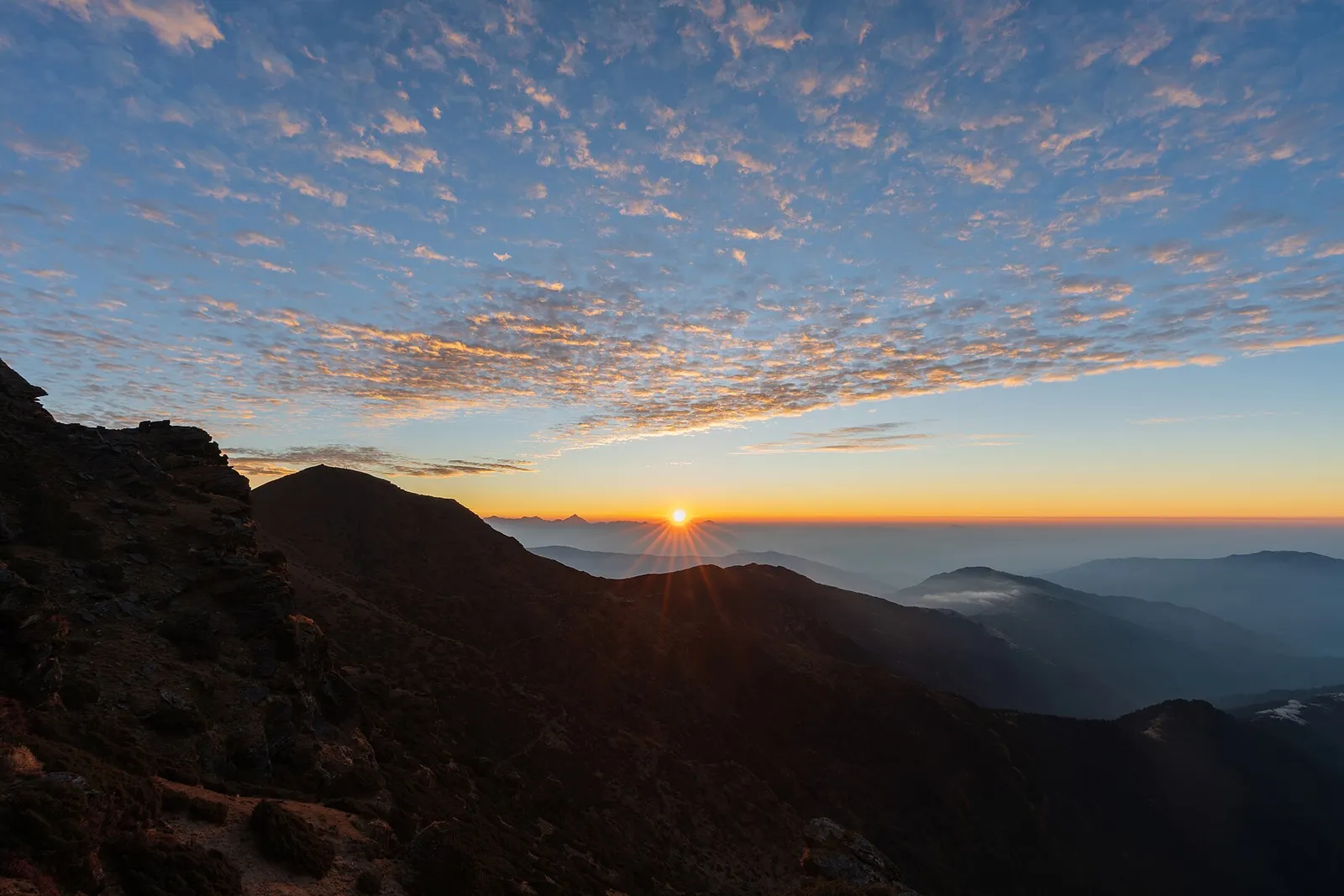
First light over a long line of snow peaks on the horizon, seen from the summit of Pikey Peak above forested ridges.

A short, lower trek in Solu, the southern part of Solukhumbu, to the grassy summit of Pikey Peak (about 4,065 m) for a long Himalayan panorama including Everest, then down to Junbesi and Phaplu.

Days
7 days
Maximum altitude
4,065 m
Difficulty
Moderate
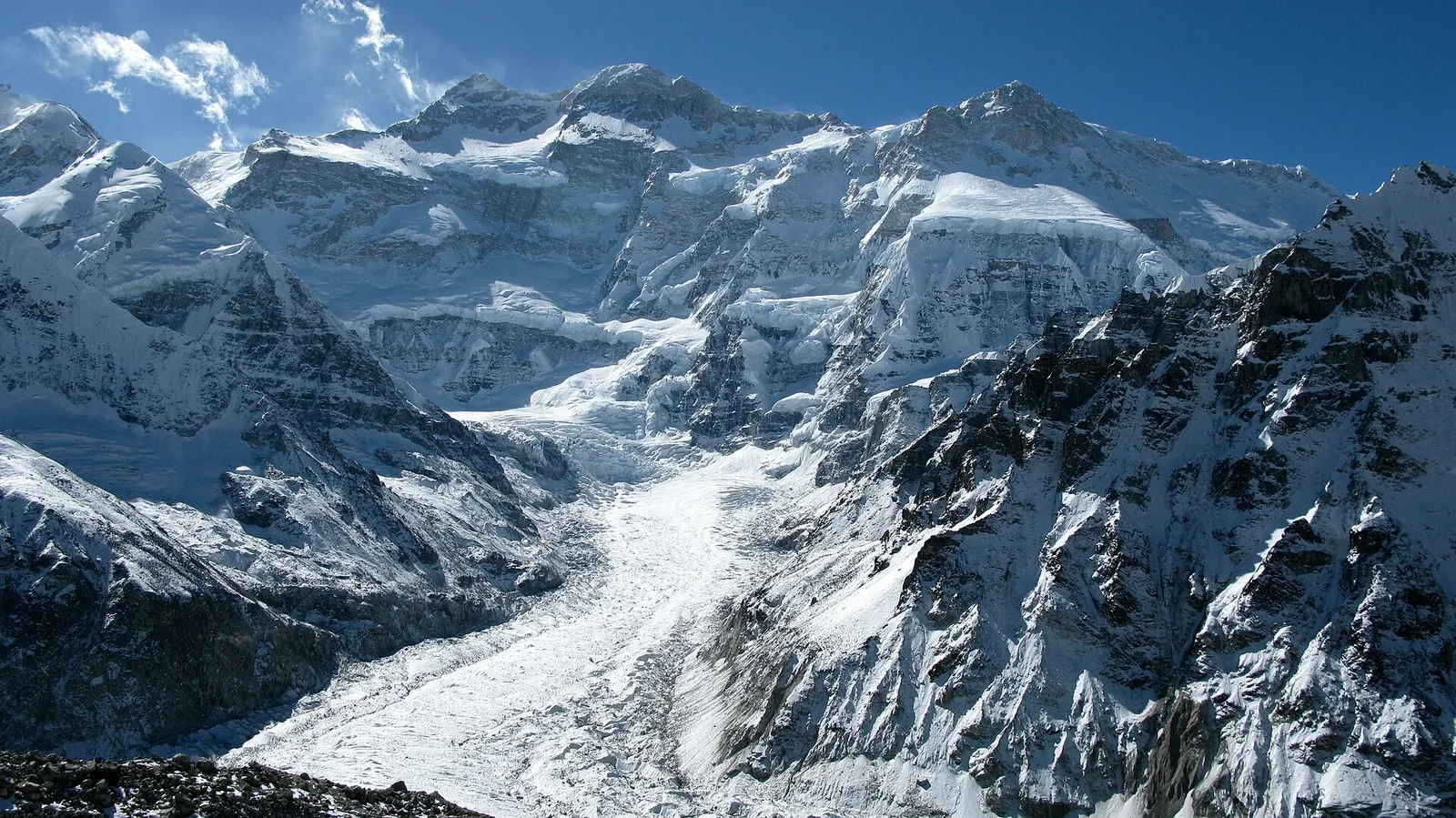
The north-west face of Kanchenjunga and the Kanchenjunga glacier seen from Pangpema.

A three-week restricted-area trek in far eastern Nepal that reaches both Kanchenjunga base camps, Pangpema in the north and Oktang in the south, joined by the Sele La pass crossing.

Days
20 days
Maximum altitude
5,143 m
Difficulty
Challenging
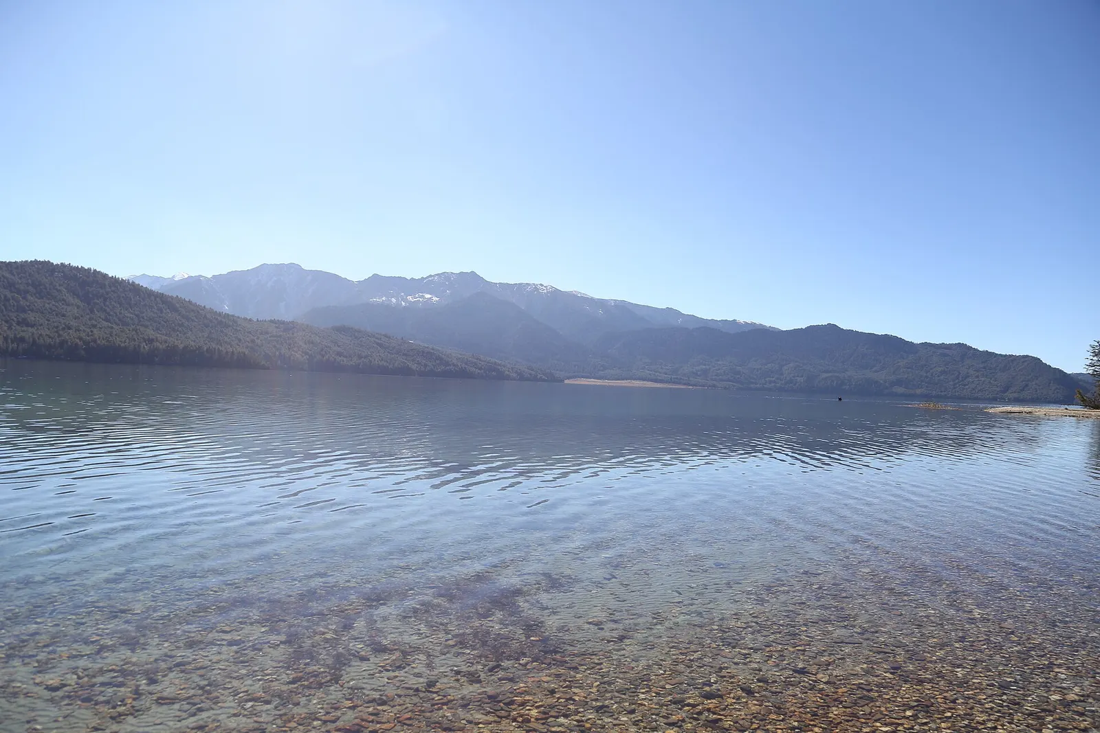
Clear water over pebbles at the edge of Rara Lake, with forested hills and snow-streaked peaks beyond.

A week-long walk in remote Karnali from Jumla through the Sinja valley to Rara Lake, Nepal's largest lake, at about 2,990 m in Rara National Park, usually ending with a flight from Talcha.

Days
8 days
Maximum altitude
3,630 m
Difficulty
Moderate

Mundum Trail · 11 days