

Valley or region
Langtang
The trekking region closest to Kathmandu: glacier valleys, holy lakes and Hyolmo villages across Rasuwa, Nuwakot and Sindhupalchok.
Kathmandu Valleyरुबी भ्याली
Tamang and Ghale villages below the Ganesh Himal in northern Dhading, crossed on a newer trek over the Pangsang La.
This is Ruby (Rubi) Valley in northern Dhading, Nepal, below the Ganesh Himal, not Ruby Valley in Nevada, USA.
Higher seasonal exposure: landslides (Jun-Sep), road blockages (Jun-Sep).
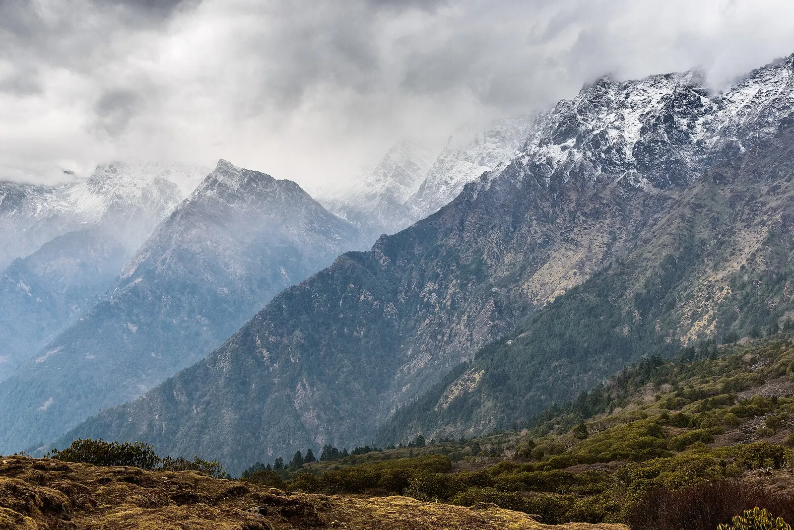
Ruby Valley (officially Rubi Valley Rural Municipality) covers the upper reaches of northern Dhading District, below the Ganesh Himal and west of the Langtang region. It takes its name from the rubies and other minerals, such as crystal quartz and zinc, found in the area. It is a sparsely populated area of terraced hill villages, forests, waterfalls and high pastures, and a newer trekking route that sees far fewer visitors than Langtang.
The usual Ruby Valley trek begins near Syabrubesi in Rasuwa and heads west through Gatlang and Somdang, an old mining settlement, before crossing the Pangsang La (about 3,842-3,850 m) for wide views of the Ganesh Himal, Langtang range and, on clear days, peaks towards Manaslu. It then descends to Tipling and Chalish, villages known for Tamang and Ghale culture, and continues down to Darkha and Dhading Besi for the road back to Kathmandu. Most itineraries take about 7-10 days.
Facilities are simple: community lodges and homestays in villages, with some camping on the higher sections. Because the standard starting point is in Rasuwa, access was affected by the August 2026 floods; starting and ending on the Dhading side may be the practical option for now.
About three quarters of the people of Rubi Valley are Tamang, with Ghale and Gurung communities and small Dalit groups; Tamang is the main first language. Buddhist gompas and chortens sit beside churches, as a large Christian community has grown in the area in recent decades. Traditional houses, farming of millet, maize and potatoes, and seasonal herding shape village life.
The municipality was formed in 2017 from the former Lapa, Sertung and Tipling village development committees, with Sertung as its centre. Tourism is new here; local government and community groups have promoted homestays and the trek to bring income to villages that were badly hit by the 2015 earthquake. The area is also known for natural hot springs used by villagers.
Ruby Valley trek
Trek from the Rasuwa side through Gatlang and Somdang, over the Pangsang La, and down via Tipling and Chalish to Dhading, in about 7-10 days.
Village homestays
Stay with Tamang or Ghale families in Tipling or Chalish to see village life and local food.
Hot springs
Ask locally about natural hot springs used by villagers in the lower valley.
Forecast for 1,980 m. Conditions change fast in the mountains.
Weather data: MET Norway, licensed CC BY 4.0. A forecast, not a guarantee.
Mar-May, Oct-Nov
Community homestays and simple lodges in villages; some groups camp near the pass.
No partner stays are listed here yet. List a property.
Treks usually start near Syabrubesi in Rasuwa and finish in Dhading; after the August 2026 floods damaged Rasuwa roads, Dhading-side access may be more practical. Check current conditions.
Nearest hub: Kathmandu
Nearest hub: Kathmandu. Times are typical ranges, not schedules, and vary with roadworks, weather and the season.
By busfrom Kathmanduabout 4-5 hLocal buses
Buses run Kathmandu to Dhading Besi, about 80 km. Beyond that it is shared jeeps on dirt roads towards Darkha, so there is no through bus to the valley.
When to set off: buses to Dhading Besi leave Kathmandu through the morning
By car or jeepfrom Kathmanduabout 8-11 h
Two approaches are used: Kathmandu to Dhading Besi and on by jeep to Darkha Phedi for the Dhading side, or Kathmandu to Syabrubesi (about 110 km, 6-9 h) for the Rasuwa side via Gatlang.
Road: Sealed to Dhading Besi, then a rough zig-zag earthen road to Darkha Phedi where a 4WD or shared jeep is needed; the Rasuwa approach to Syabrubesi is mostly sealed but the Gatlang-Somdang mining road is rough.
When to set off: leave Kathmandu by about 06:00; the Darkha road is slow and best driven in daylight
By motorbikefrom KathmanduExperienced riders only
Riders do use the Dhading and Somdang dirt roads, but the surfaces are loose and steep with long unsupported stretches, so it suits experienced off-road riders only. No time band sourced.
Road: Sealed highway to Dhading Besi or Syabrubesi, then steep unsealed hill roads with loose gravel and stream crossings.
On footfrom Syabrubesi5-7 walking days Syabrubesi/Gatlang over the Pangsang La to Tipling and out at Darkha; the Gatlang-Somdang day is 6-8 h
The route is a village-to-village trek on trails and dirt roads, walked in either direction.
Permit required
Trekkers starting from the Rasuwa side pass through the Langtang National Park area and generally need its entry permit. Check the latest permit rules for the route you take, and whether a TIMS card is currently required.
Verify before travel: permit rules and fees change. Checked 2026-10-06 against Ruby Valley Trek (Altitude Himalaya).
On the Ruby Valley trek.
What this place is typically exposed to, and when. These are seasonal patterns, not a report on conditions now.
Landslideshigh in a typical yearJun-Sep
The valley is reached on dirt roads through steep Dhading and Rasuwa hill country, where the June to September monsoon regularly brings slips and washouts.
Road blockageshigh in a typical yearJun-Sep
The unsealed jeep roads towards Darkha and Somdang are the weak link in the monsoon and are prone to being blocked by slides for days at a time.
Altitudemoderate in a typical yearAll year
At roughly Pangsang La about 3,842-3,850 m, thin air affects most people. General information, not medical advice: gain height slowly, build in acclimatisation days, learn the symptoms of altitude sickness (headache, nausea, breathlessness, broken sleep) and go down if they get worse. See a doctor before travelling and carry insurance that covers helicopter evacuation.
Othermoderate in a typical yearJun-Aug
Leeches are common on the forest and village trails during the monsoon, which is one reason the route is not walked then.
Snowmoderate in a typical yearDec-Mar
Snow can lie on the Pangsang La in winter and early spring and winter trekking here is hard going because of the cold.
Coldmoderate in a typical yearDec-Feb
Lower villages stay accessible but are cold, and the pass day is exposed.
Check current conditions before you travel
Roads, trails, passes and flights change with the weather and with roadworks, and nothing on this page describes conditions today. Before you set off, check the Department of Hydrology and Meteorology for weather and flood warnings, the Nepal Disaster Risk Reduction Portal for incidents, and the local authority, police or your licensed operator for road, trail and flight status.
In northern Dhading District below the Ganesh Himal, west of the Langtang region.
About 7-10 days from Kathmandu, including 5-7 days of walking over the Pangsang La.
The highest point is the Pangsang La at about 3,842-3,850 m.
After the rubies and other minerals such as crystal quartz and zinc found in the area.
Valley or region
The trekking region closest to Kathmandu: glacier valleys, holy lakes and Hyolmo villages across Rasuwa, Nuwakot and Sindhupalchok.
Valley or region
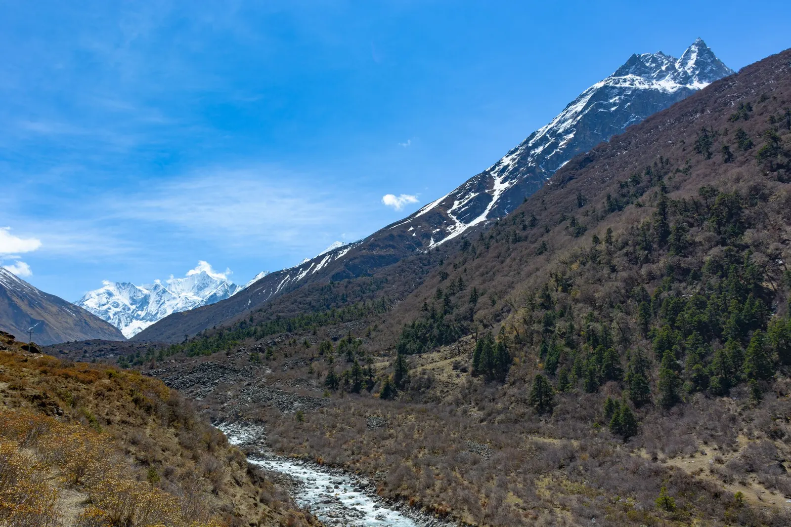
A glacier valley north of Kathmandu, walked from Syabrubesi through forest and yak pastures to Kyanjin Gompa under Langtang Lirung.
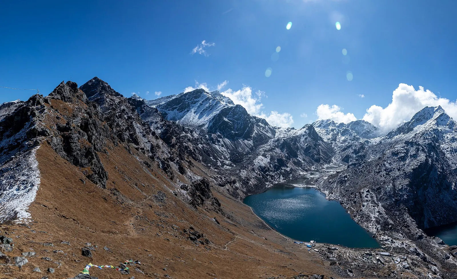
Lake · 4,380 m
A sacred alpine lake at about 4,380 m in Langtang National Park, a Hindu and Buddhist pilgrimage site and a high point between Langtang and Helambu.
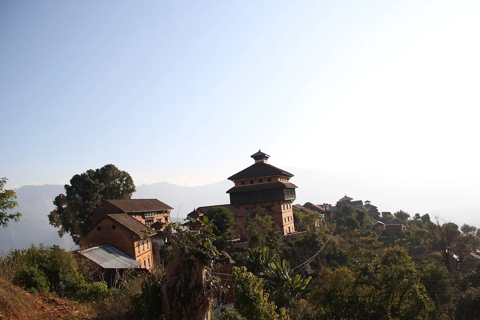
Temple, monastery or heritage site · 963 m
A hilltop fort town above the Trishuli valley, where Prithvi Narayan Shah built a seven-storey palace during the unification of Nepal.