
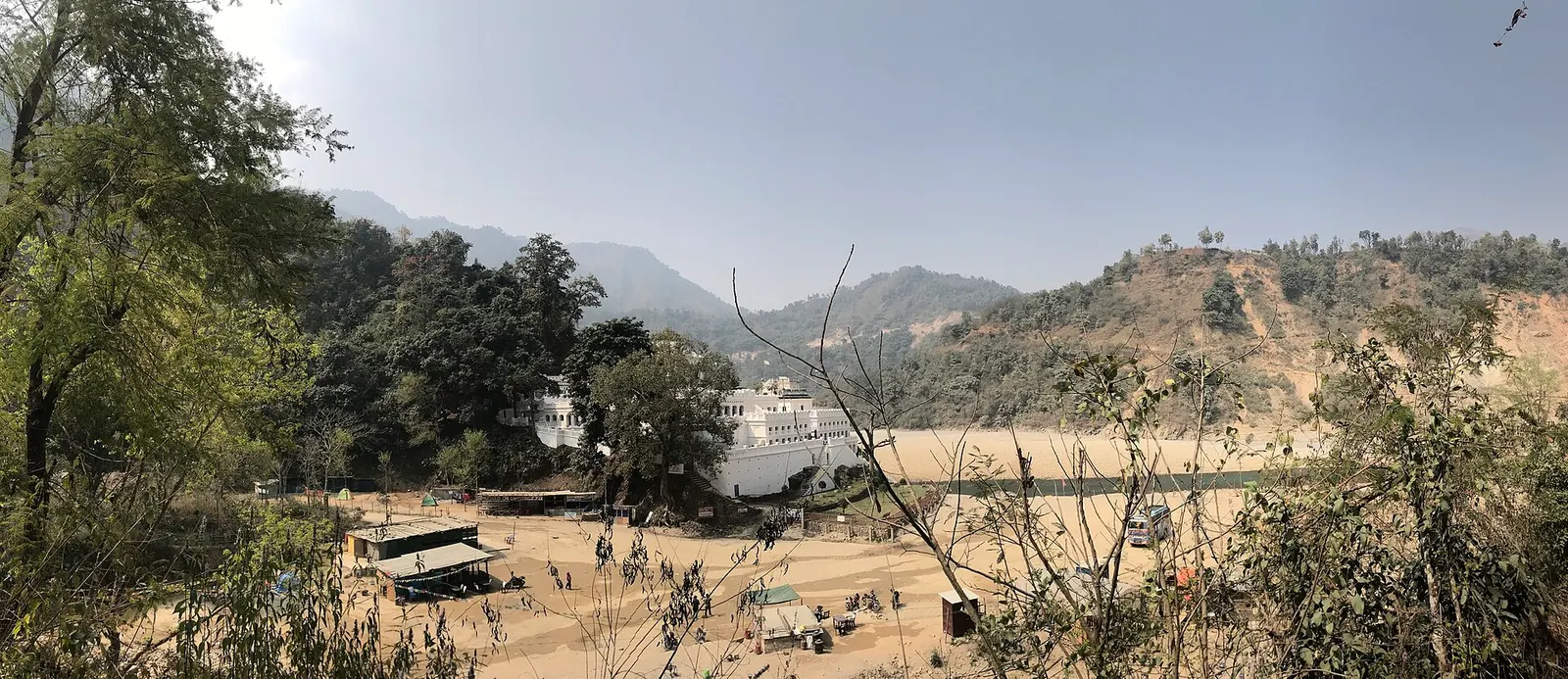
Valley or region
Palpa
A hill district between Pokhara and the plains, home to the old bazaar town of Tansen, Magar villages and the Rani Mahal palace on the Kali Gandaki.
Lumbini Provinceपाल्पा
Hill district of Tansen's old bazaar, the riverside Rani Mahal on the Kali Gandaki and handwoven Dhaka cloth.
Palpa lies in the Mahabharat hills of Lumbini Province, rising from the edge of the Terai to forested ridges and dropping again to the Kali Gandaki, which forms much of its northern and eastern edge. It borders Rupandehi and Parasi to the south, Arghakhanchi and Gulmi to the west and north, and Syangja across the river to the north. Tansen, the headquarters, sits on a hillside at a pleasant middle altitude.
Palpa was once the seat of a powerful hill kingdom, and Tansen keeps a strong Newar trading character with steep lanes, old temples and a restored palace square. Magar communities are prominent in the wider district. Visitors come for Tansen's bazaar and Srinagar Danda viewpoint, for Rani Mahal, a palace built beside the Kali Gandaki, and for Dhaka weaving and metalwork. Ridi, on the river, is an important pilgrimage town.
Valley or region
A hill district between Pokhara and the plains, home to the old bazaar town of Tansen, Magar villages and the Rani Mahal palace on the Kali Gandaki.
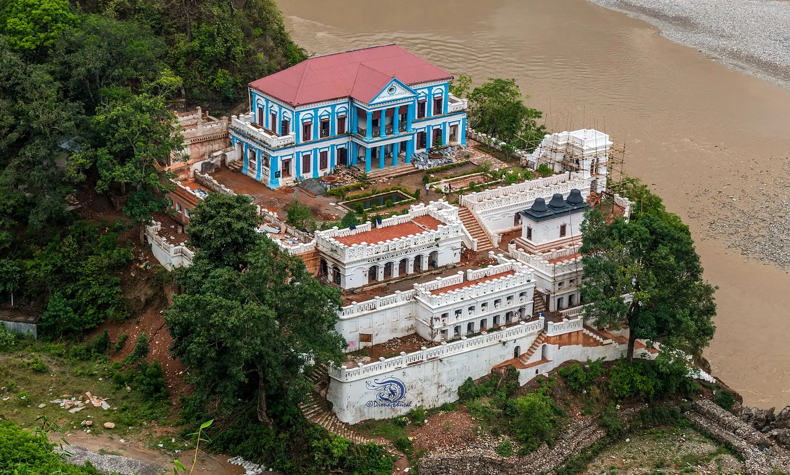
Temple, monastery or heritage site · 459 m
A restored Rana-era palace on a rock above the Kali Gandaki, built in the 1890s in memory of a general's wife.
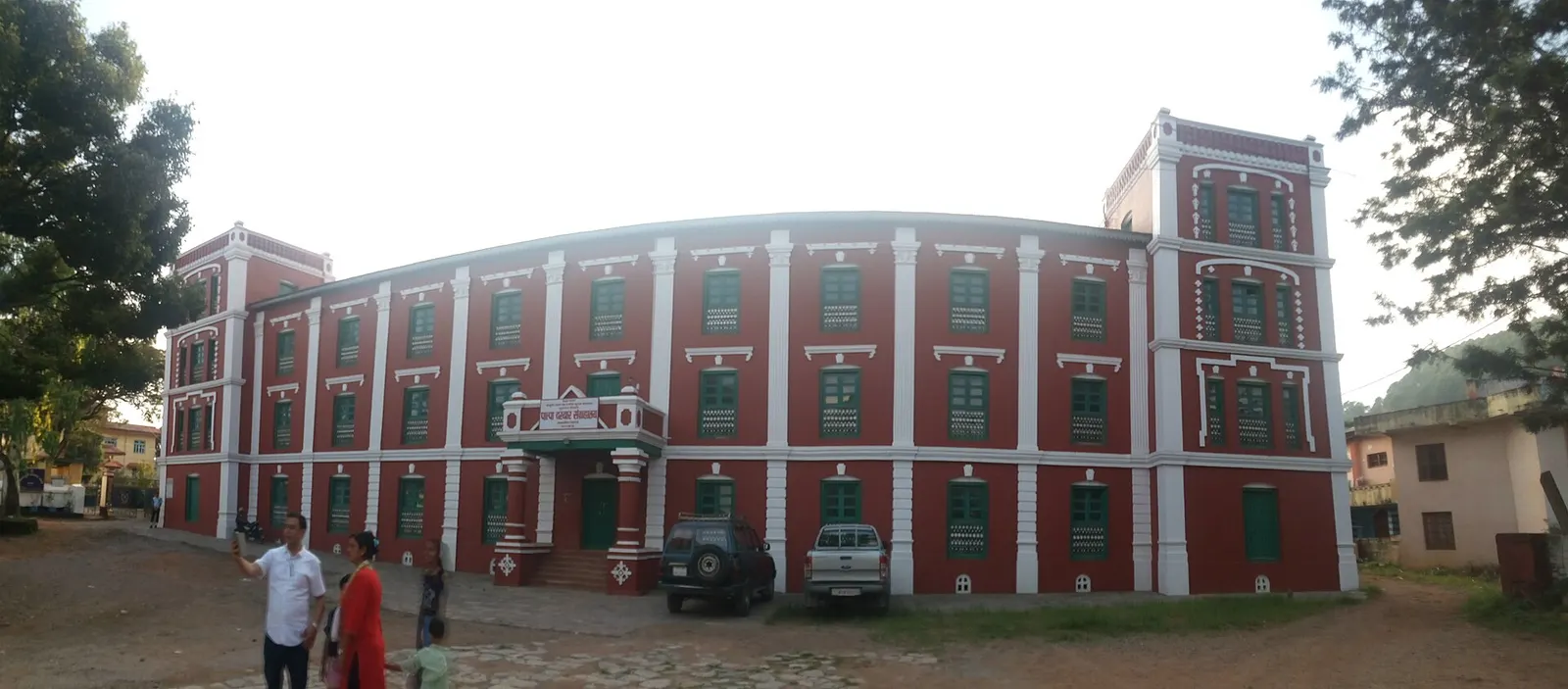
Town or village · 1,350 m
The old hill bazaar of Palpa district, with steep Newar lanes, Rana-era buildings and a Himalayan viewpoint above the town.
The Siddhartha Highway links Tansen with Butwal to the south and Pokhara to the north; from Butwal the drive takes a few hours on a winding hill road. The nearest airport is Gautam Buddha International Airport at Bhairahawa.
October to April is best, with clear mountain views from autumn into winter and mild spring days; Tansen can be misty and cool in winter, and the monsoon brings heavy rain and cloud.