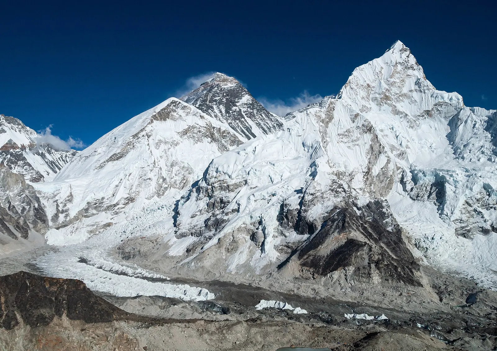
The classic teahouse trek from Lukla through Sherpa villages to Everest Base Camp (5,364 m) and the Kala Patthar viewpoint, with acclimatisation days in Namche and Dingboche.
- Days
- 12 days
- Maximum altitude
- 5,644 m
- Difficulty
- Strenuous
Everest Region (Khumbu)पिके पिक
A grassy 4,065 m summit in lower Solukhumbu with a long view of the eastern Himalaya, reached on a short trek through Sherpa villages.
Higher seasonal exposure: altitude (All year), road blockages (Jun-Sep).
Pikey Peak is a rounded ridge-top summit at about 4,065 m in Likhu Pike Rural Municipality, in the southern part of Solukhumbu district. It is part of the Everest region section of this guide but lies well south of Khumbu and outside Sagarmatha National Park. On a clear morning the summit gives a long panorama of the high Himalaya, from Everest, Lhotse and Makalu in the east round to the peaks of Rolwaling and, on very clear days, Kanchenjunga far to the east. Edmund Hillary is said to have named it as one of his favourite views of Everest.
The attraction is a big mountain view for much less effort and altitude than the Khumbu routes. A typical trek takes about 5-8 days, starting from road heads such as Dhap and continuing through hill farms, rhododendron forest and Sherpa villages, then descending to Junbesi and Phaplu or Salleri for the drive back. The summit itself is usually climbed in the dark from a lodge or camp below to arrive for sunrise.
The area is far less visited than Khumbu, so trails are quiet and lodges are small, family-run places. Many trekkers combine it with the old Jiri to Lukla route or use it as a lower-altitude alternative when they have only a week.
Local Sherpa communities regard the hill as the seat of a clan protector deity, and the name Pikey is said to come from that deity; prayer flags and a small shrine mark the top, and local people climb the hill for annual worship. Treat the summit as a sacred place rather than just a viewpoint.
Junbesi, a common stop on the descent, is an old Sherpa village with stone houses and a monastery, and nearby Thupten Chholing is one of the larger Tibetan Buddhist monasteries in the Solu area. Phaplu and Salleri, at the end of the trek, are the district's administrative and transport hubs.
Sunrise on the summit
Climb from the lodges below the ridge before dawn, usually 1-2 hours, to watch first light on the Everest group.
Junbesi and its monasteries
Spend a night in Junbesi and walk to the monastery at Thupten Chholing, about an hour away.
Combine with the Jiri route
The ridge can be added to the walk from Shivalaya or Jiri towards Lukla for a longer, lower approach to Khumbu.
Forecast for 4,065 m. Conditions change fast in the mountains.
Weather data: MET Norway, licensed CC BY 4.0. A forecast, not a guarantee.
Mar-Apr, Oct-Dec
Small teahouses and homestays operate along the route and below the summit; facilities are basic and fewer than in Khumbu.
No partner stays are listed here yet. List a property.
Pikey Peak is reached by jeep or bus from Kathmandu to a road head in lower Solukhumbu, then on foot. Phaplu also has a small airstrip.
Nearest hub: Kathmandu (by road to Dhap or Phaplu)
Nearest hub: Kathmandu. Times are typical ranges, not schedules, and vary with roadworks, weather and the season.
By airfrom Kathmanduabout 0.5-0.8 hPhapluoften delayed or cancelled by weather
Phaplu airstrip, at about 2,413 m, has irregular domestic service and can replace one leg of the long drive; from Phaplu it is two to three days on foot via Junbesi to the ridge.
When to set off: hill flights are scheduled in the morning, before the afternoon cloud builds
By car or jeepfrom Kathmanduabout 7-11 h
Kathmandu to Dhap, the usual road head, is about 234 km. Sources give 7-8 h, 8-10 h and up to 11 h, so allow a full day. Most of the road to Dhap and on towards Salleri is blacktopped, steeper and narrower past Okhaldhunga, and muddy and landslide-prone in the monsoon. From Dhap it is 2-3 days on foot via Jhapre.
Road: Blacktopped highway and hill road for most of the way, with steeper, narrower stretches beyond Okhaldhunga; a jeep is normally used and the monsoon makes it muddy.
When to set off: leave Kathmandu by 06:00 to reach lower Solukhumbu in one day
By motorbikefrom Kathmanduabout 7-11 hModerate riding
The Dhap road is rideable - mostly blacktopped, narrow and steep in the hills - but it is a full day from Kathmandu and the trek beyond Dhap is on foot.
Road: Mostly blacktopped, narrowing and steepening in the hills; slippery and landslide-prone in the monsoon.
When to set off: start at first light; this is a full day in the saddle
On footfrom Dhap2-3 days from Dhap via Jhapre, then a 1-2 h pre-dawn climb of a few hundred metres to the summit
From the Dhap road head it is 2-3 days on foot via Jhapre to the lodges below the peak, then a 1-2 hour climb on open grassy slopes for sunrise. Jhapre has no record here and the daily hour bands are not sourced, so no duration is given.
When to set off: summit day starts before dawn from the lodges below the ridge
None needed
Pikey Peak is outside Sagarmatha National Park and no park or restricted-area permit is generally needed. Check whether a TIMS card is currently required and whether any local fee is collected.
Verify before travel: permit rules and fees change. Checked 2026-10-06 against Nepal Tourism Board.
On the Pikey Peak trek, Jiri to Lukla (Everest classic route) variant.
What this place is typically exposed to, and when. These are seasonal patterns, not a report on conditions now.
Altitudehigh in a typical yearAll year
The summit is at about 4,065 m and the lodges below the ridge are a few hundred metres lower, so the trek still crosses the altitude threshold. Acute mountain sickness is common on fast ascents - it affects roughly 40 per cent of people who go up quickly to 3,000 m, and more above that. General information, not medical advice: gain height slowly, keep sleeping-height gains small (about 300 m a day once high), build in rest days, learn the symptoms - headache, nausea, breathlessness, broken sleep - and descend if they get worse. See a doctor before travelling and carry insurance that covers helicopter evacuation.
Road blockageshigh in a typical yearJun-Sep
The mountain roads into Solukhumbu turn muddy and slippery in the monsoon and landslides are possible, so road journeys from Kathmandu run much slower in June to September.
Othermoderate in a typical yearJun-Aug
June to August is wet: heavy rain hides the mountains, the stone staircases and bridge approaches stay slippery, and leeches are a nuisance in the forest below about 3,000 m.
Coldmoderate in a typical yearNov-Mar
Nights drop well below freezing from November to March, with frost most mornings and only the dining room heated in most lodges.
Snowmoderate in a typical yearJan-Feb
January and February can bring snow to the summit ridge and the pasture below it; December is often clear but very cold on top.
Seasonal closuremoderate in a typical yearJun-Sep
Phaplu's flights, the air alternative to the long drive, are irregular and weather-bound, with the monsoon months the least reliable.
Check current conditions before you travel
Roads, trails, passes and flights change with the weather and with roadworks, and nothing on this page describes conditions today. Before you set off, check the Department of Hydrology and Meteorology for weather and flood warnings, the Nepal Disaster Risk Reduction Portal for incidents, and the local authority, police or your licensed operator for road, trail and flight status.
The classic teahouse trek from Lukla through Sherpa villages to Everest Base Camp (5,364 m) and the Kala Patthar viewpoint, with acclimatisation days in Namche and Dingboche.
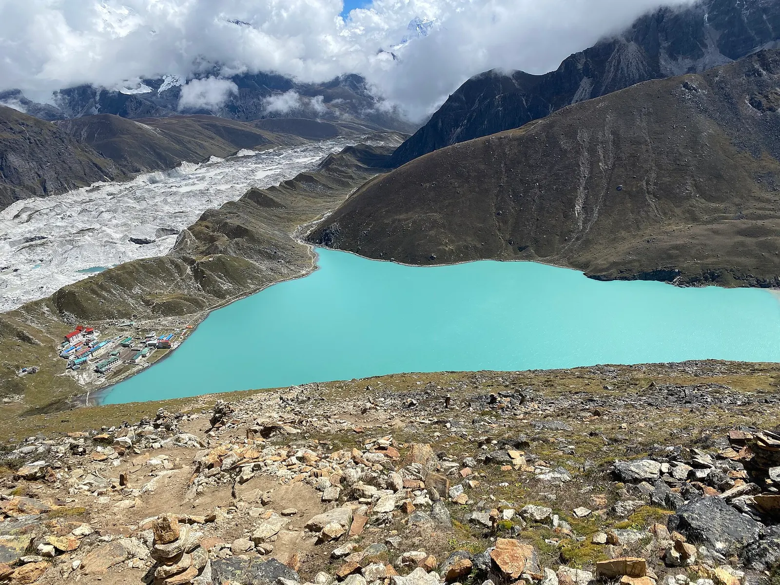
A teahouse trek from Lukla up the Dudh Kosi valley to the turquoise Gokyo Lakes beside the Ngozumpa Glacier, with a dawn climb of Gokyo Ri (about 5,357 m) for views of four 8,000 m peaks.
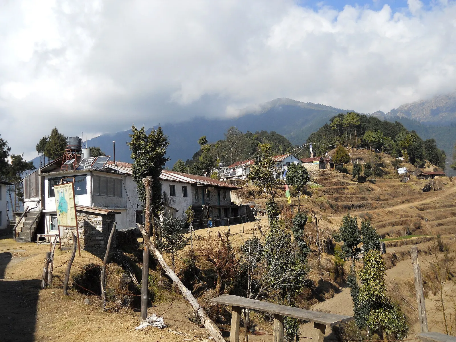
A short trek that starts on the edge of Kathmandu at Sundarijal and follows forested ridges to Tharepati (about 3,650 m), then visits the Hyolmo villages of Melamchi Gaon, Tarkeghyang and Sermathang before a drive back.
Take a jeep or bus to a road head in lower Solukhumbu such as Dhap, then walk 2-3 days to the base of the peak.
About 4,065 m. It is lower than the Khumbu routes, but some people still feel the altitude near the top.
It is outside the national park and no special permit is usually required; check whether a TIMS card or local fee applies.
Yes, on clear mornings Everest, Lhotse and Makalu are visible to the north-east.
Lake · 4,750 m
A chain of glacier-fed lakes beside the Ngozumpa glacier, with views of Everest and Cho Oyu from the hill of Gokyo Ri.
Viewpoint · 5,644 m
A dark ridge-top viewpoint above Gorak Shep with a close view of Everest, Nuptse and the Khumbu Glacier.
Trek stop · 4,730 m
A high lodge settlement at the head of the Imja valley, below Lhotse's south face and Island Peak.
Mountain pass · 5,420 m
A glaciated pass linking the Everest Base Camp trail with the Gokyo valley, crossed between Dzongla and Thagnak.
Trek stop · 4,410 m
A walled-field Sherpa village in the Imja valley, the usual acclimatisation stop on the way to Everest Base Camp.
Trek stop · 4,038 m
A small lodge village in the upper Dudh Kosi valley, the first night above Namche on the way to Gokyo.
Trek stop · 4,830 m
A tiny lodge stop on a high pasture below Cholatse, the eastern base for crossing the Cho La.
Trek stop · 5,164 m
The last lodges below Everest Base Camp, on a sandy dry lakebed beneath Kala Patthar.
Valley or region
The Sherpa homeland below Everest, reached on foot from Lukla through stone villages, monasteries and glacial valleys.
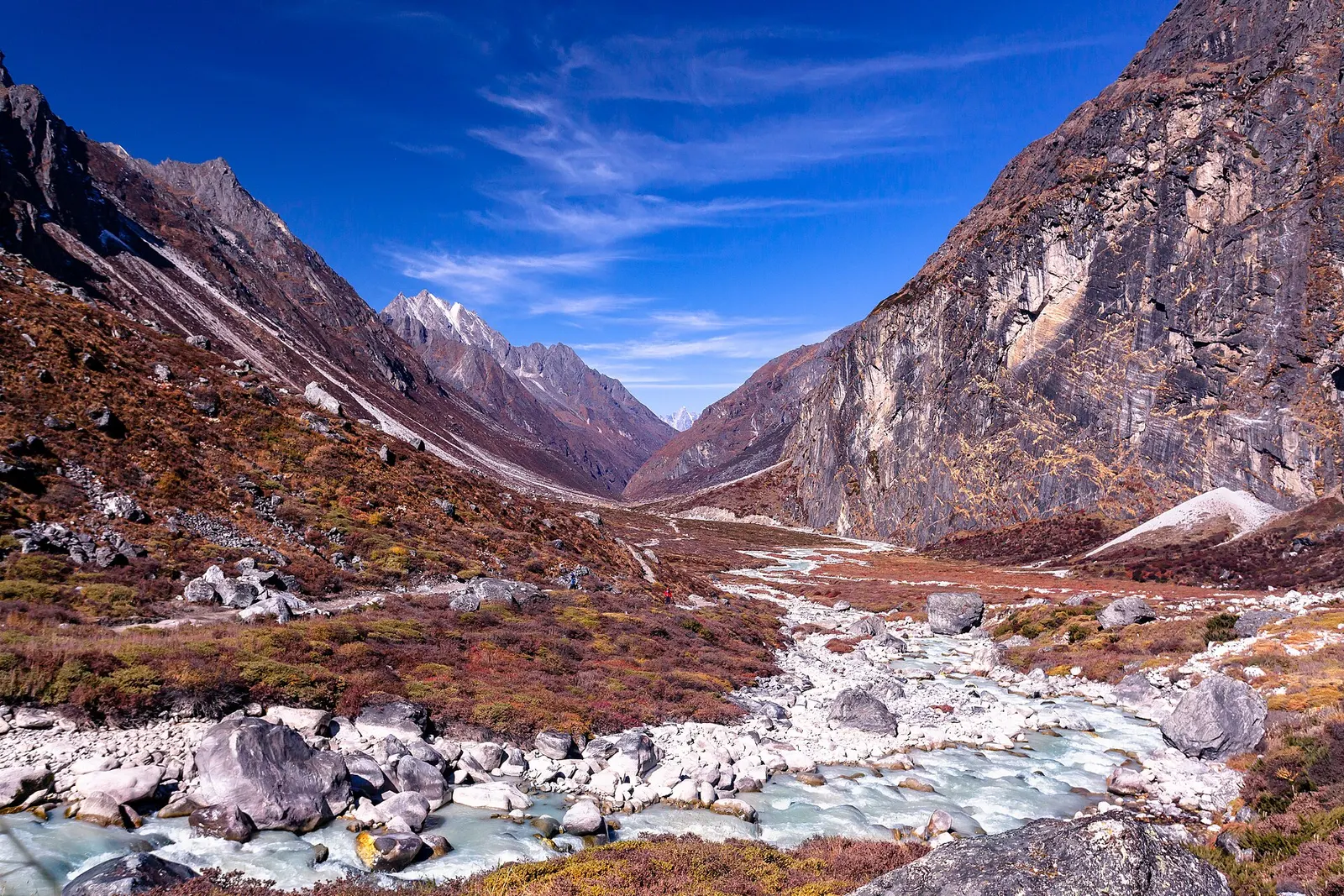
Valley or region
A remote Sherpa valley under Gaurishankar in Dolakha, trekked to the glacial lake Tsho Rolpa, with a technical pass to the Everest region.