Skip to content

Everest Region (Khumbu)फाप्लु

Phaplu

A small airstrip town near Salleri, the road head and end point for Pikey Peak and lower Solukhumbu treks.

Plan a trip here
Altitude
2,413 m*
Best months
Mar-May, Oct-Nov
Type
Trek stop
District
Solukhumbu, Koshi
Permit
None needed

Higher seasonal exposure: road blockages (Jun-Sep).

Why go

Phaplu is a small town at about 2,413 m in the Solu valley, a short walk from Salleri, the district headquarters of Solukhumbu. Within the Everest region it is the usual start or end point for treks in lower Solukhumbu, including Pikey Peak, with a road link to Kathmandu and a small airstrip.

The town spreads along a ridge with fields, apple orchards and pine forest. Above it, Chiwong monastery stands on a cliff with views over the valley, and the hospital founded with Edmund Hillary's support still serves the district. Most trekkers spend a night here at the end of their walk before the long drive or a flight back to Kathmandu.

History and culture

Phaplu developed around the airstrip and the Solu hospital, which Edmund Hillary helped to fund and which the Himalayan Trust managed from 1974 to 1986 before handing it to the government. The surrounding Solu area is home to Sherpa, Rai, Tamang and other communities. Chiwong monastery, above the town, is known for its Mani Rimdu festival.

Things to do in Phaplu

  • Walk to Chiwong monastery

    A climb of about 1.5-2 hours to the cliff-top monastery with views over the Solu valley.

  • Visit Salleri bazaar

    The district headquarters, a short walk or drive away, has shops, banks and transport.

Weather and the best time to visit Phaplu

Weather in Phaplu

Forecast for 2,413 m. Conditions change fast in the mountains.

Weather data: MET Norway, licensed CC BY 4.0. A forecast, not a guarantee.

Best time to visit

Mar-May, Oct-Nov

  1. Jan
  2. Feb
  3. Good month: Mar
  4. Good month: Apr
  5. Good month: May
  6. Jun
  7. Jul
  8. Aug
  9. Sep
  10. Good month: Oct
  11. Good month: Nov
  12. Dec
Autumn (Sep-Nov)
October and November are dry and clear, the most reliable time for flights and views.
Winter (Dec-Feb)
December to February is cold at night but often clear.
Spring (Mar-May)
March to May is warm, with rhododendron flowers on the ridges.
Monsoon (Jun-Aug)
June to August brings heavy rain; roads can be blocked by landslides and flights cancelled.

Where to stay

LodgesGuesthousesHotels

Guesthouses and small hotels in Phaplu and nearby Salleri.

No partner stays are listed here yet. List a property.

Getting there

Phaplu is reached by a long road journey from Kathmandu or by a short flight when scheduled.

Nearest hub: Kathmandu

  • jeepKathmandu to Phaplu or Salleri, a long day of about 9-11 hours by road, partly rough.
  • flightPhaplu airstrip has limited, irregular flights to Kathmandu; check current schedules.

Getting to Phaplu, by mode

Nearest hub: Kathmandu. Times are typical ranges, not schedules, and vary with roadworks, weather and the season.

  • By airfrom Kathmanduabout 0.5-0.8 hPhapluoften delayed or cancelled by weather

    Phaplu airstrip sits at about 2,413 m, roughly 280 km from Kathmandu, with a blacktopped runway and irregular domestic service. It is the quiet alternative to Lukla for the Everest region; check what is scheduled for your dates.

    When to set off: hill flights are scheduled in the morning, before the afternoon cloud builds

    Phaplu Airport - Wikipedia

  • By car or jeepfrom Kathmanduabout 8-11 h

    A long hill-road day of roughly 230-280 km. Most of the route to Salleri is blacktopped, but the sections beyond Okhaldhunga are steeper and narrower, and monsoon rain slows everything down. A jeep is the usual vehicle.

    Road: Blacktopped highway and hill road for most of the way, with steeper, narrower stretches beyond Okhaldhunga; a jeep is normally used and the monsoon makes it muddy.

    When to set off: leave Kathmandu by 06:00 to reach lower Solukhumbu in one day

    Kathmandu to Dhap Village - Himalayan Masters

  • By motorbikefrom Kathmanduabout 8-11 hModerate riding

    Rideable on a sealed-to-mixed hill road, but it is a long day with steep, narrow sections in the hills beyond Okhaldhunga and little help if something breaks.

    Road: Mostly blacktopped, narrowing and steepening in the hills; slippery and landslide-prone in the monsoon.

    When to set off: start at first light; this is a full day in the saddle

    Kathmandu to Dhap Village - Himalayan Masters

  • On footfrom Junbesiabout 5-6 h5-6 h from Junbesi over a forested ridge, a climb of a few hundred metres then a longer descent

    Walkers arrive here at the end of the Pikey Peak or classic Solu routes, to drive or fly out.

    When to set off: teahouse stages start after breakfast, usually by 07:30, to arrive before the afternoon cloud and wind

    Everest Base Camp Trek - Wikivoyage

Where people go next

  • Junbesion foot, about 5-6 hNorth over the ridge to Junbesi.
  • Kathmanduby car or jeep, about 8-11 hThe long jeep day back to the capital.
  • Pikey Peakon footTwo to three days up through Junbesi to the Pikey ridge.
  • Luklaon footTwo to three days north on foot to Lukla.
Mount Everest 8,848.86Kangchenjunga 8,586Dhaulagiri I 8,167Manaslu 8,163Annapurna I 8,091PhapluKathmandu
Boundary: Government of Nepal, Survey Department (2020). Peak data: Wikidata.

Permits and fees

None needed

Phaplu is outside Sagarmatha National Park and no park permit is needed. Check whether a TIMS card is currently required.

  • TIMS card: Check whether a TIMS card is currently required for treks in lower Solukhumbu.

Verify before travel: permit rules and fees change. Checked 2026-10-06 against Nepal Tourism Board.

On the trail

On the Pikey Peak trek.

Previous stop:
Junbesi
A typical day:
From Junbesi, about 5-6 hours over a forested ridge, with a climb of a few hundred metres and a longer descent.

Risks and conditions

Seasonal risks around Phaplu

What this place is typically exposed to, and when. These are seasonal patterns, not a report on conditions now.

  • Road blockageshigh in a typical yearJun-Sep

    The mountain roads into Solukhumbu turn muddy and slippery in the monsoon and landslides are possible, so road journeys from Kathmandu run much slower in June to September.

    Kathmandu to Dhap Village - Himalayan Masters

  • Othermoderate in a typical yearJun-Aug

    June to August is wet: heavy rain hides the mountains, the stone staircases and bridge approaches stay slippery, and leeches are a nuisance in the forest below about 3,000 m.

    Everest Base Camp Trek - Wikivoyage

  • Coldmoderate in a typical yearNov-Mar

    Nights drop well below freezing from November to March, with frost most mornings and only the dining room heated in most lodges.

    Everest Base Camp Trek - Wikivoyage

  • Seasonal closuremoderate in a typical yearJun-Sep

    Phaplu's flights are irregular and weather-bound; monsoon cloud is the worst of it, so the road is the dependable way in and out in June to September.

    Phaplu Airport - Wikipedia

Check current conditions before you travel

Roads, trails, passes and flights change with the weather and with roadworks, and nothing on this page describes conditions today. Before you set off, check the Department of Hydrology and Meteorology for weather and flood warnings, the Nepal Disaster Risk Reduction Portal for incidents, and the local authority, police or your licensed operator for road, trail and flight status.

Practical tips

  • ATMs and banks are available in Salleri.
  • Mobile signal is generally good.
  • Book road transport back to Kathmandu a day ahead, and allow a spare day if you plan to fly.

Treks through Phaplu

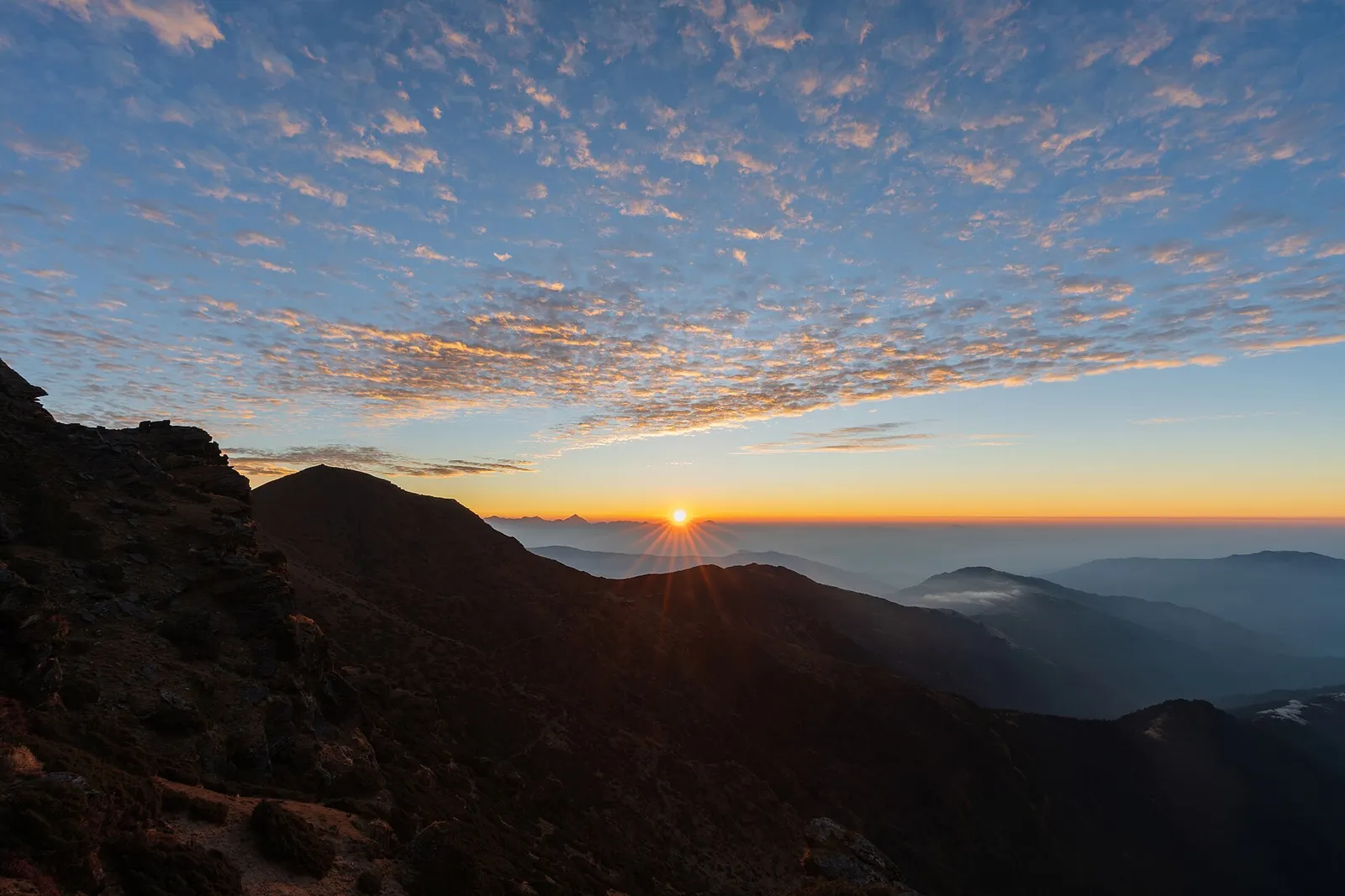
First light over a long line of snow peaks on the horizon, seen from the summit of Pikey Peak above forested ridges.

A short, lower trek in Solu, the southern part of Solukhumbu, to the grassy summit of Pikey Peak (about 4,065 m) for a long Himalayan panorama including Everest, then down to Junbesi and Phaplu.

Days
7 days
Maximum altitude
4,065 m
Difficulty
Moderate

Questions about Phaplu

How do I get from Kathmandu to Phaplu?

By jeep or bus, a long day of about 9-11 hours, or by a short flight when one is scheduled.

How high is Phaplu?

About 2,413 m; the airstrip is slightly higher.

Is Phaplu the same as Salleri?

No. They are neighbouring towns; Salleri is the district headquarters a short distance away.

More in Everest Region (Khumbu)

All of Everest Region (Khumbu)

Lake · 4,750 m

Gokyo Lakes

A chain of glacier-fed lakes beside the Ngozumpa glacier, with views of Everest and Cho Oyu from the hill of Gokyo Ri.

Viewpoint · 5,644 m

Kala Patthar

A dark ridge-top viewpoint above Gorak Shep with a close view of Everest, Nuptse and the Khumbu Glacier.

Viewpoint · 4,065 m

Pikey Peak

A grassy 4,065 m summit in lower Solukhumbu with a long view of the eastern Himalaya, reached on a short trek through Sherpa villages.

Trek stop · 4,730 m

Chhukung

A high lodge settlement at the head of the Imja valley, below Lhotse's south face and Island Peak.

Mountain pass · 5,420 m

Cho La

A glaciated pass linking the Everest Base Camp trail with the Gokyo valley, crossed between Dzongla and Thagnak.

Trek stop · 4,410 m

Dingboche

A walled-field Sherpa village in the Imja valley, the usual acclimatisation stop on the way to Everest Base Camp.

Trek stop · 4,038 m

Dole

A small lodge village in the upper Dudh Kosi valley, the first night above Namche on the way to Gokyo.

Trek stop · 4,830 m

Dzongla

A tiny lodge stop on a high pasture below Cholatse, the eastern base for crossing the Cho La.

Nearby

Valley or region

Everest Region (Khumbu)

The Sherpa homeland below Everest, reached on foot from Lukla through stone villages, monasteries and glacial valleys.

Editorial draft: facts are being checked against the sources below. Last checked 2026-10-06. Sources: Phaplu, Wikipedia, Phaplu, OpenStreetMap