Town or village
Malekhu
A highway bazaar on the Trishuli river, known for its fried river fish and as a stop on rafting trips and the road to Dhading Besi.
Kathmandu Valleyधादिङबेसी
The headquarters town of Dhading district, a valley bazaar and the road gateway to Ganesh Himal, Ruby Valley and the northern hills.
Higher seasonal exposure: landslides (Jun-Sep).
Dhading Besi is the headquarters of Dhading district, a bazaar town in a river valley north of the Prithvi Highway, within Nilkantha Municipality. The word besi refers to a valley floor, and the town spreads across low ground surrounded by terraced hills.
For travellers its main role is as a gateway. Roads continue north from here towards the Ganesh Himal region, the Tamang and Gurung villages of Ruby Valley, and the hills between the Trishuli and Budhi Gandaki rivers. Trekkers heading for the Ruby Valley or Ganesh Himal routes often pass through to change vehicles, buy supplies or spend a night before the rougher roads further north.
The town itself has the government offices, markets, schools and services expected of a district centre. It is a practical stop rather than a destination in its own right, but early mornings on the surrounding ridges can bring views north to the Ganesh Himal range on clear days.
Dhading district takes in a wide range of landscapes, from the hot Trishuli valley in the south to the high Ganesh Himal on the Tibetan border in the north. Its population is mixed, with Tamang communities especially numerous in the hills, alongside Brahmin-Chhetri, Magar, Newar, Gurung and Chepang groups.
Dhading Besi grew as the administrative and market centre of the district, and became much more accessible once a road linked it with Malekhu on the Prithvi Highway. Road building north of the town since then has opened up remote villages and shortened the approach to the trekking routes of northern Dhading, although many of these roads remain rough and seasonal.
Start a northern trek
Use the town to arrange jeeps and supplies for the Ruby Valley or Ganesh Himal routes.
Market walk
Walk through the bazaar to see local trade in grain, vegetables and goods from the hills.
Ridge viewpoint
Climb one of the nearby ridges early in the morning for views of the valley and, on clear days, the Ganesh Himal.
Conditions change fast in the mountains.
Weather data: MET Norway, licensed CC BY 4.0. A forecast, not a guarantee.
Feb-Apr, Oct-Dec
Simple hotels and guesthouses in the bazaar, used mainly by local travellers and trekkers in transit.
No partner stays are listed here yet. List a property.
Dhading Besi is reached by road from Kathmandu, branching north from the Prithvi Highway at Malekhu.
Nearest hub: Kathmandu
None needed
No permit is needed for Dhading Besi. Treks in northern Dhading inside Langtang National Park or near the border may need park or restricted-area permits.
Verify before travel: permit rules and fees change. Checked 2026-10-08 against Department of National Parks and Wildlife Conservation.
What this place is typically exposed to, and when. These are seasonal patterns, not a report on conditions now.
Landslideshigh in a typical yearJun-Sep
Monsoon landslides frequently affect the Prithvi Highway and the rough roads north of Dhading Besi.
Road blockagesmoderate in a typical yearJun-Sep
Unsealed roads into northern Dhading can become impassable after heavy rain, delaying onward travel to trekking areas.
Check current conditions before you travel
Roads, trails, passes and flights change with the weather and with roadworks, and nothing on this page describes conditions today. Before you set off, check the Department of Hydrology and Meteorology for weather and flood warnings, the Nepal Disaster Risk Reduction Portal for incidents, and the local authority, police or your licensed operator for road, trail and flight status.
It is mainly a transit and supply town for trekkers heading to Ruby Valley and Ganesh Himal, rather than a sightseeing destination.
Take a bus along the Prithvi Highway to Malekhu and change there, or take a direct local bus from Kathmandu.
No. Permits may be needed only for treks further north in protected or restricted areas.
October to November and March to April, when the roads and trails are drier.
Town or village
A highway bazaar on the Trishuli river, known for its fried river fish and as a stop on rafting trips and the road to Dhading Besi.
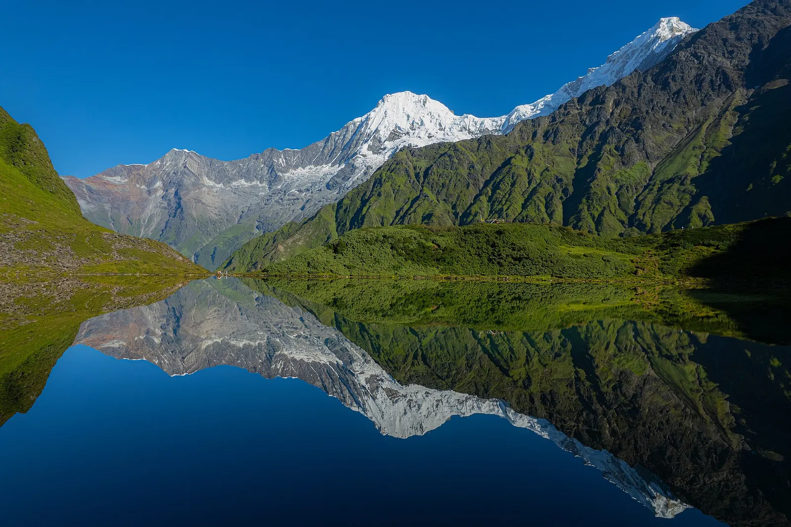
Valley or region
Tamang and Ghale villages below the Ganesh Himal in northern Dhading, crossed on a newer trek over the Pangsang La.
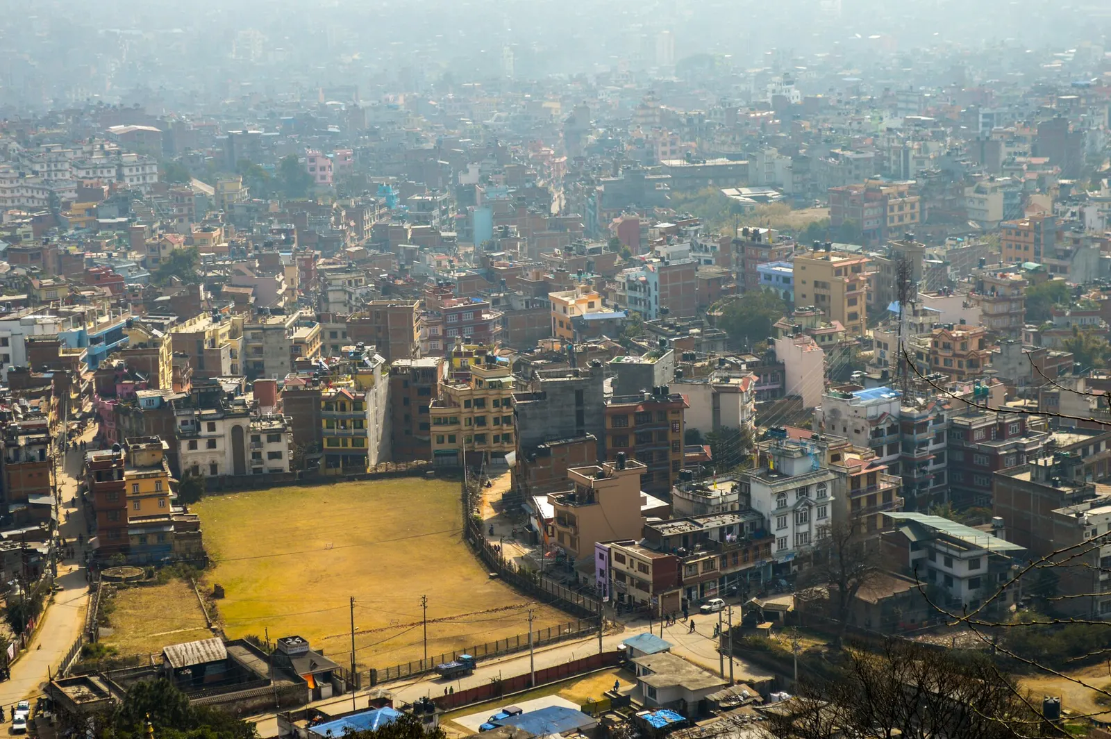
Town or village · 1,400 m
Nepal's capital, a sprawling valley city wrapped around a medieval Newar core, with major Hindu and Buddhist sites and the country's main airport.
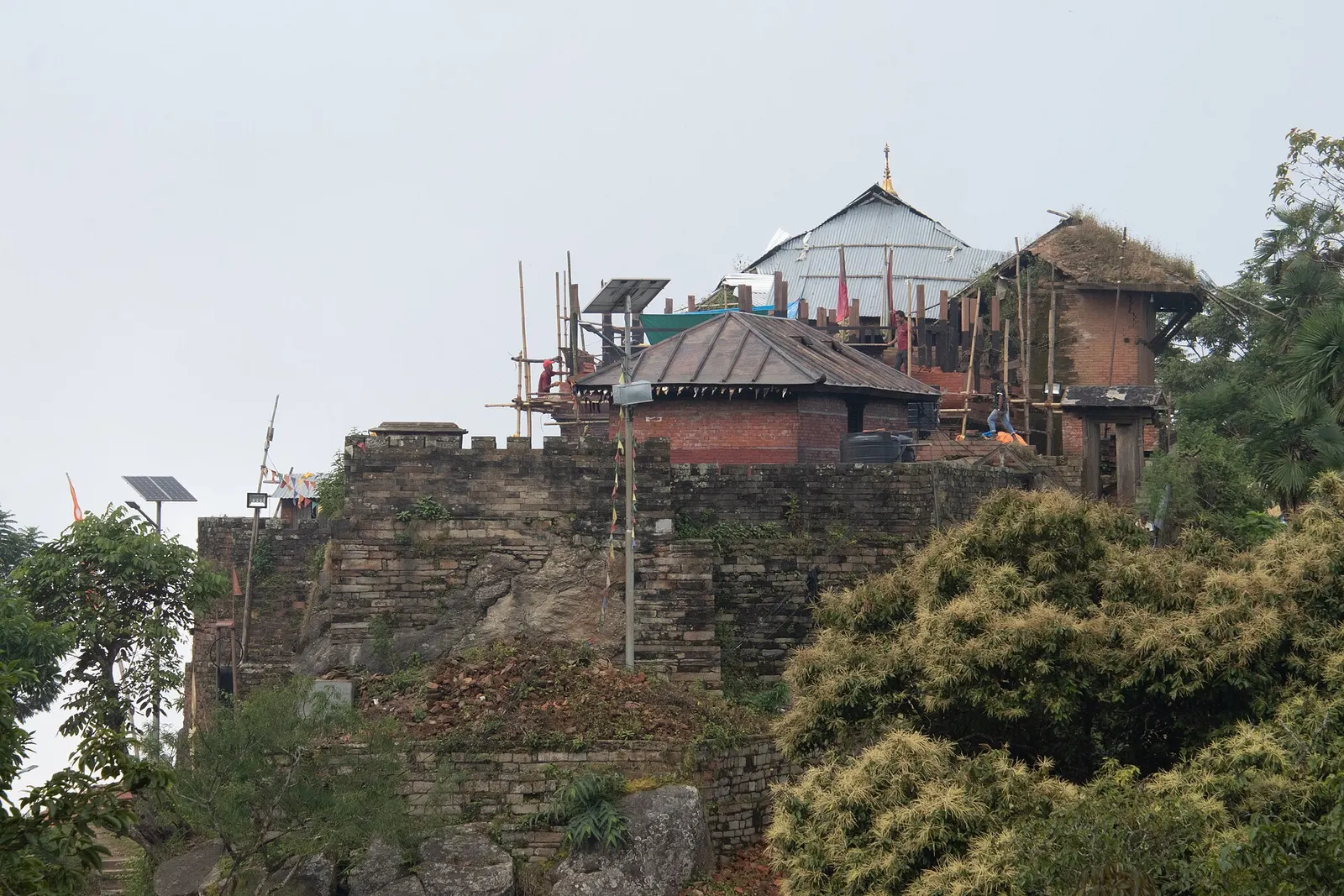
Temple, monastery or heritage site · 1,135 m
The hill town where the Shah kings ruled the Gorkha Kingdom and Prithvi Narayan Shah began the unification of Nepal.